
 BLOG
RTK GNSS for cadastral and boundary surveys: one-person workflows with Reach
If you run your own survey practice, you know how much of a cadastral or boundary job happens before you measure the first point. A total station setup usually means booking a second person for the prism, which adds cost and scheduling to every job.
Larger firms plan around this with two-person crews. For solo surveyors and small practices, RTK GNSS opens another option: running the whole survey yourself. Francesco Pelazza and Marco Bartoletti work this way.
Both are geometri, licensed surveyors in Italy who work as independent professionals. Both run their surveys alone with an Emlid Reach base and rover, what differs is how corrections reach the rover.
Francesco sends them over radio, because his mountain sites often have no mobile coverage. Marco sends them over the internet using NTRIP, with a compact kit that replaced his total station and field assistant.
Below, they share how their setups work and what changed for their business, so you can see which link fits your own sites.
Key takeaways
- With an RTK GNSS rover, one surveyor can run a cadastral or boundary survey without a second person in the team.
- Match the correction link to the site: radio between base and rover where mobile coverage varies, NTRIP where coverage is stable.
- Emlid Flow keeps the whole project in one app, directly in the field.
- GNSS works alongside a total station. You can start with one receiver and add a base later.
- Both surveyors report faster fieldwork and shorter setup times, and both now work independently.
Base and rover RTK for sites without mobile internet
Francesco Pelazza has worked as a surveyor since 2007. He is based in Northern Italy, with most of his work in Piedmont: topographic surveys for the cadastre, planimetric and altimetric (horizontal and vertical) surveys, stakeout, and construction site measurements.
The challenge is the range of sites. He often moves from flat rural areas to mountain sites, sometimes in difficult conditions, and mobile internet coverage there is not always reliable.
A few years ago, he decided to expand his workflow by integrating GNSS technology with the instruments he was already using in the field, especially a total station.
In 2019, he bought a Reach RS2 and started using GNSS positioning in his daily work. Later, he added a Reach RS3, so now the RS2 works as a base and the RS3 as a rover. The base sends RTK corrections to the rover over radio. He gets accurate results on sites with no internet at all.
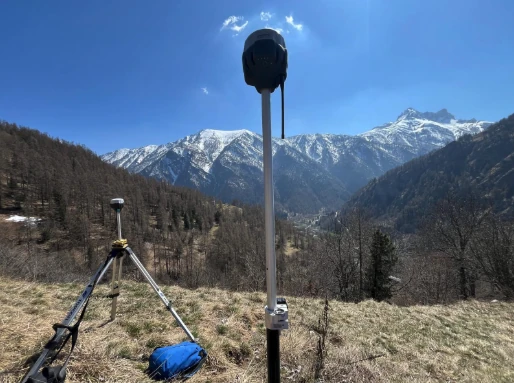
He describes the result like this:
“Today, thanks to Emlid devices, I can operate efficiently in any environment—from plains to mountains, in both summer and winter—maintaining reliability and precision in my surveys.”
He sums up the impact on his business as “greater operational flexibility, faster fieldwork, and the ability to work independently even in remote areas.”
Related reading: RTK corrections delivery method explained: how to choose the right setup?
One-person RTK instead of a total station crew
For years, Marco Bartoletti worked only with total stations on his cadastral and boundary surveys. That meant complex logistics, slow turnaround times, and a field assistant on every job.
“The constant need for a field assistant turned every survey into a logistical and financial obstacle.”
In 2023, he moved to RTK GNSS with a Reach RS3 and a Reach RX. With an RTK rover, one person can measure points without a line of sight to a total station. The kit is also much smaller than a total station setup: the Reach RX is a compact network RTK rover that receives network corrections from the Reach RS3 base through the Emlid Flow app.
In 2026, another option for RTK corrections was unlocked in Reach receivers. With built-in Emlid Corrections, Marco can survey with a single rover without the need for a base station, if the survey site has a stable internet coverage.
Related reading: Reach receivers now have built-in RTK corrections RTK corrections delivery method explained: how to choose the right setup?
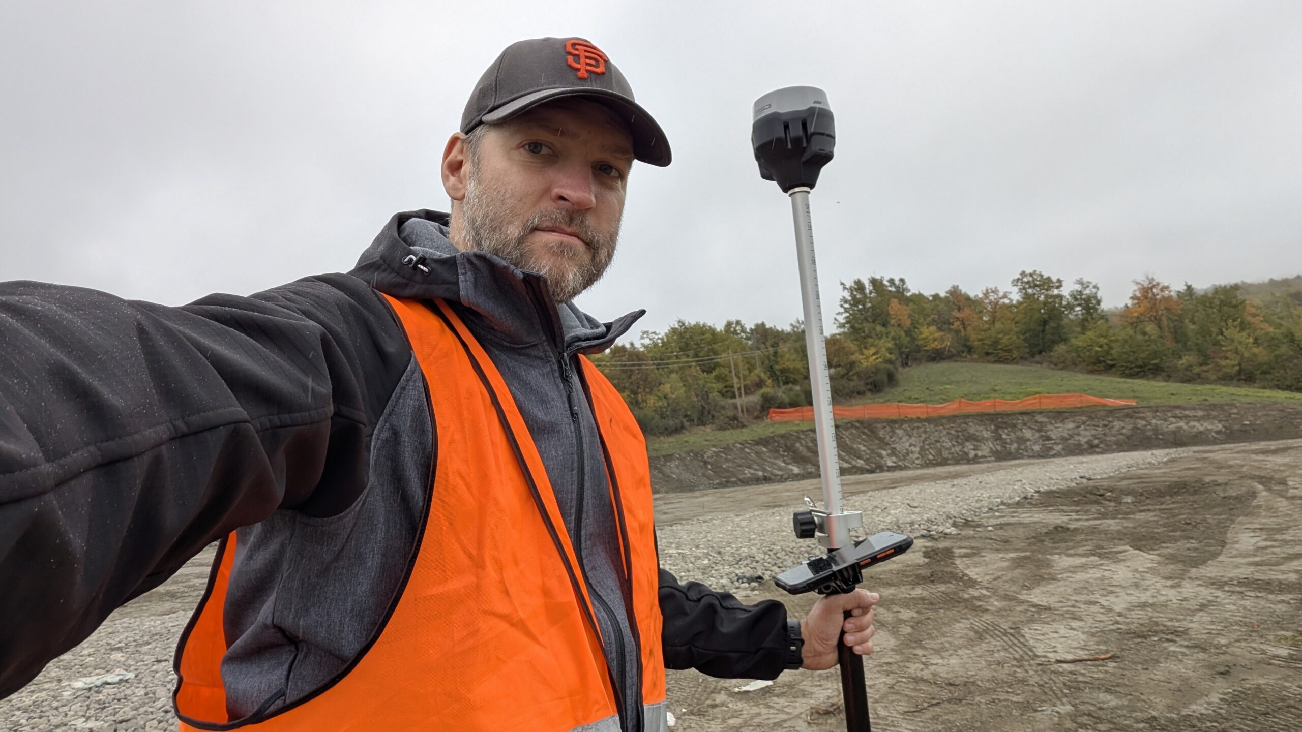
Marco now runs every survey on his own, “completely independently and with absolute simplicity,” in his words. His setup times are much shorter, and he keeps the high accuracy that cadastral work requires.
The second change was software. Marco manages his projects in Emlid Flow:
“Its comprehensive functionality allows me to manage the entire project directly in the field, eliminating the need for third-party software.“
For Marco, the main result is time saved on every project. As he puts it, “In today’s professional world, time is truly the only currency that matters.” He also values fast technical support and constant updates. That is why he calls his Emlid setup a safe, long-term investment.
Why Reach works for one-person surveys
Francesco and Marco work in different conditions, but their setups rest on the same ideas. You can apply them to your own practice.
- You choose the correction source that fits the site. Francesco runs his own base and rover over radio when mobile internet isn’t reliable. Marco works with network corrections. Reach receivers support both, so you can match the setup to each job.
- The whole project stays in one app. Marco manages his projects in Emlid Flow directly in the field, with no third-party software. Setup, measurements, and project data are all in the same place.
Find everything you need to know about GNSS for land surveying, from Reach receivers to correction options and field workflows, on our Land Surveying page:
Frequently Asked Questions
Yes. A one-person RTK survey needs a GNSS rover and a correction source, with no line of sight to a total station. That makes RTK GNSS for cadastral surveying a practical option for solo surveyors and small practices. Reach RS4, for example, delivers 7 mm + 1 ppm horizontal accuracy in RTK. Check the accuracy your local cadastral authority requires for each type of survey.
Only for network corrections. With a local base and rover, the base sends corrections to the rover over radio, so you can work on sites with no coverage at all. Reach RS4 has a ling-range UHF radio and LoRa radio with a range of up to 8 km between two Emlid receivers.
Start with RTK accuracy and the correction options. A receiver that works as both base and rover, with a built-in radio and support for NTRIP, gives you a setup for every site. For one-person work, tilt compensation also helps, because you can measure without leveling the pole. Reach RS4 has all of these and comes with the Emlid Flow app and lifetime support.
It depends on where you work. A single rover connected to an NTRIP service or Emlid Corrections is the simplest one-person setup when coverage is good. A base and rover pair gives you corrections anywhere, including remote and mountain sites.
Yes. Francesco uses GNSS and his total station side by side and picks the right tool for each site. Emlid Flow imports and exports CSV, DXF, and SHP files, so data moves easily between your instruments and office software.
Every Reach works with the Emlid Flow app for iOS and Android. You use it for data collection, stakeout, and project management in the field. Projects sync to Emlid Flow 360 in the cloud, so you always have a backup.
Francesco and Marco use Reach RS2, Reach RS3, and Reach RX. The current lineup includes Reach RS4 Pro, Reach RS4, Reach RX2, and Reach RS3. See all of them on our site.