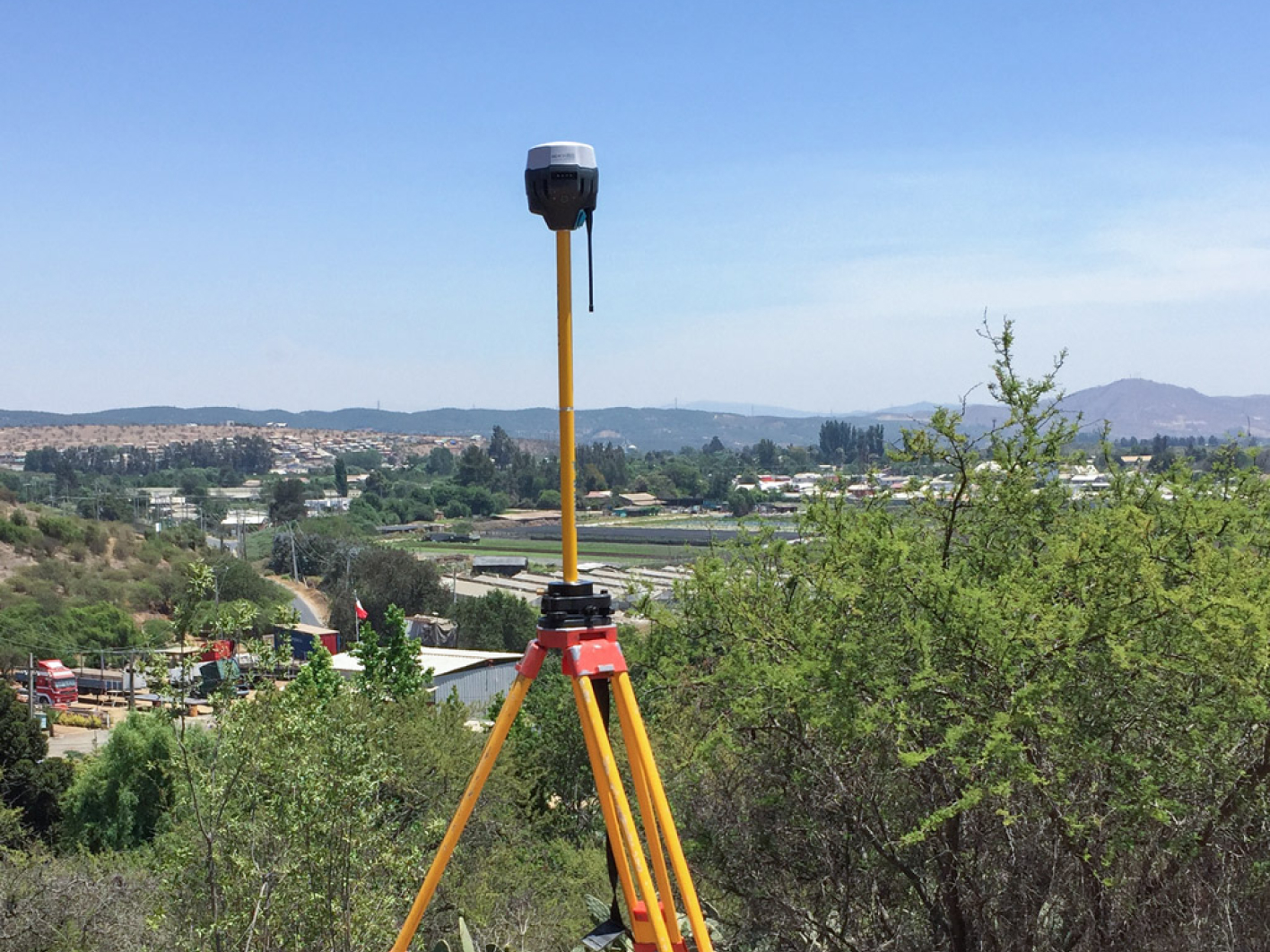
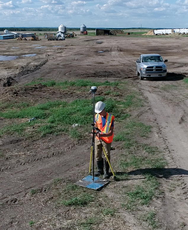
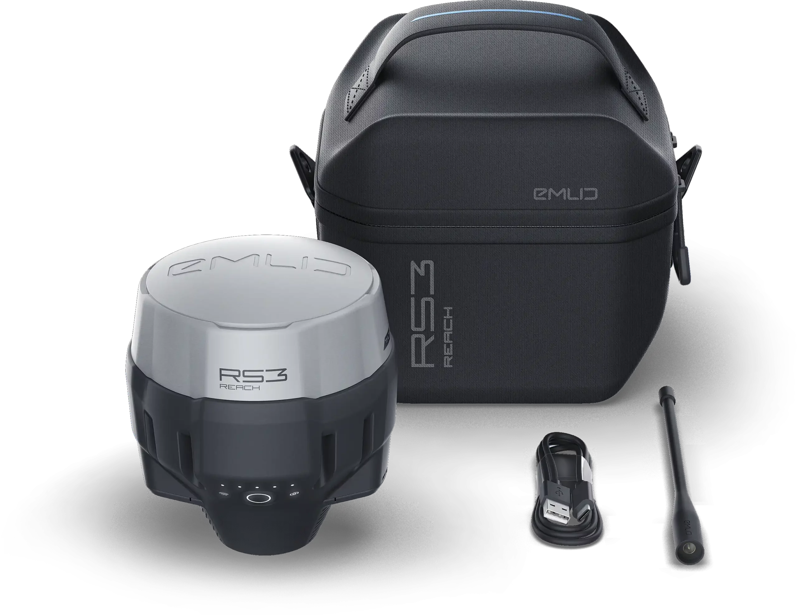
REACH RS3
Fully-featured RTK receiver for surveying
Fully-featured
RTK receiver
for surveying
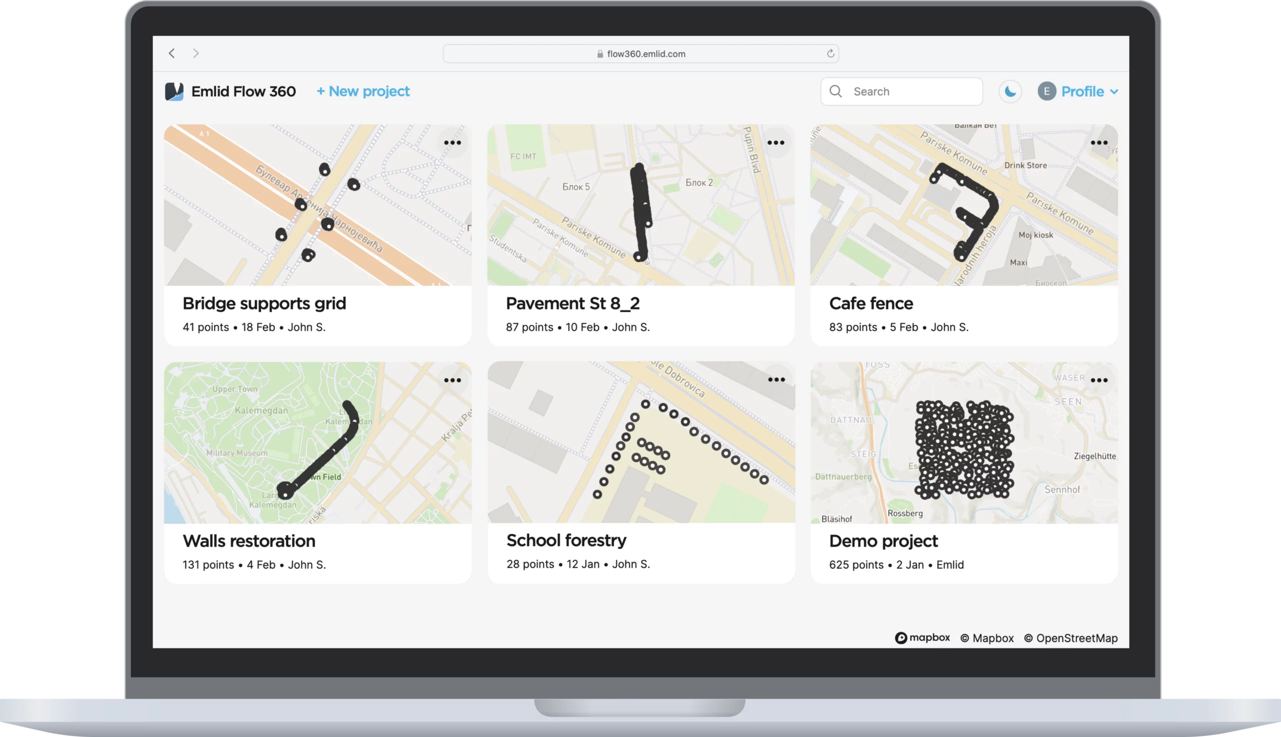
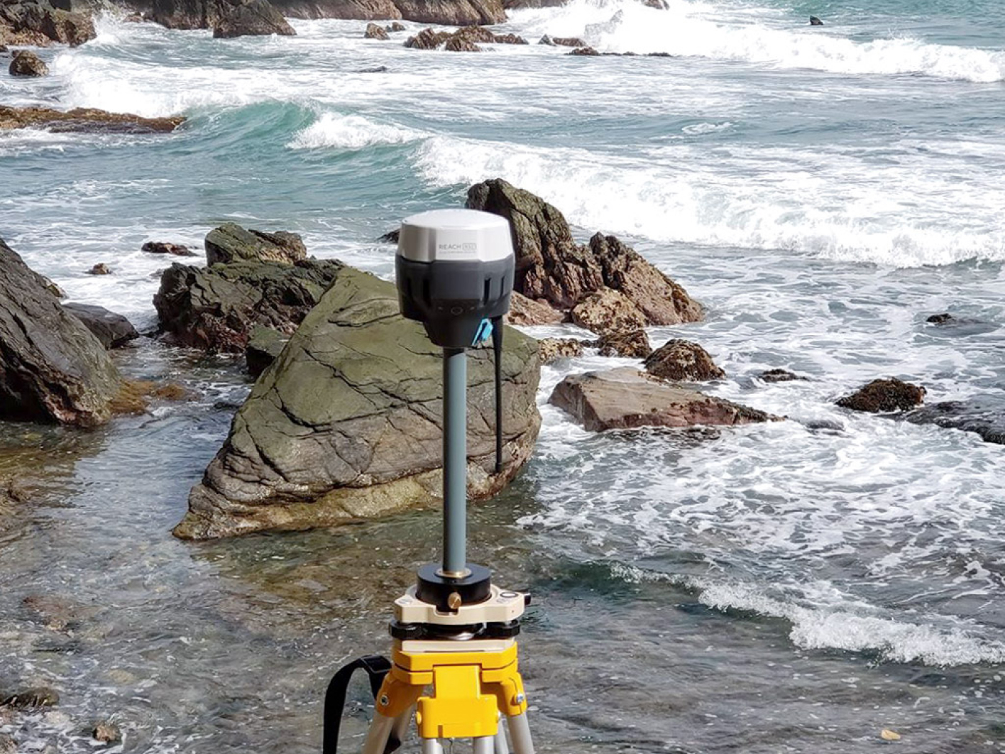
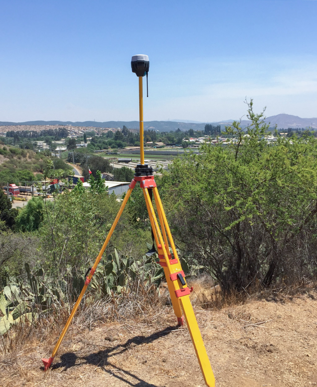
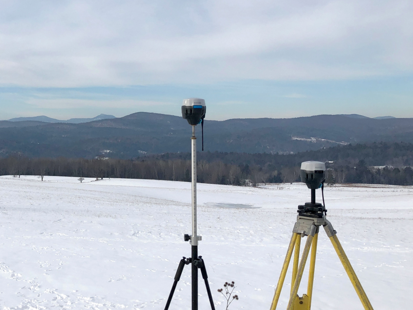
Data collection with centimeter
precision. Made for professionals.
Data collection with centimeter
precision. Made for professionals.
$2799
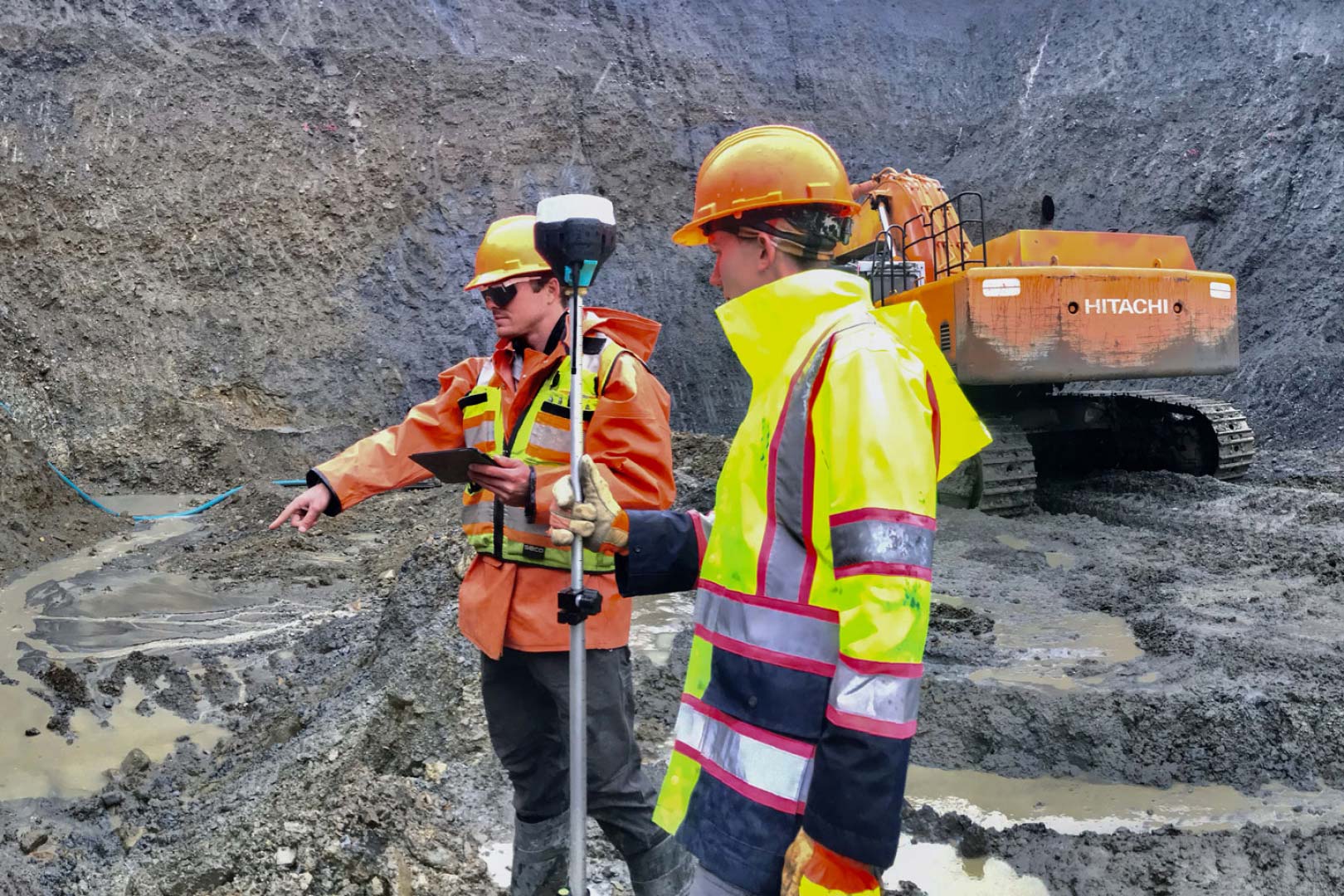
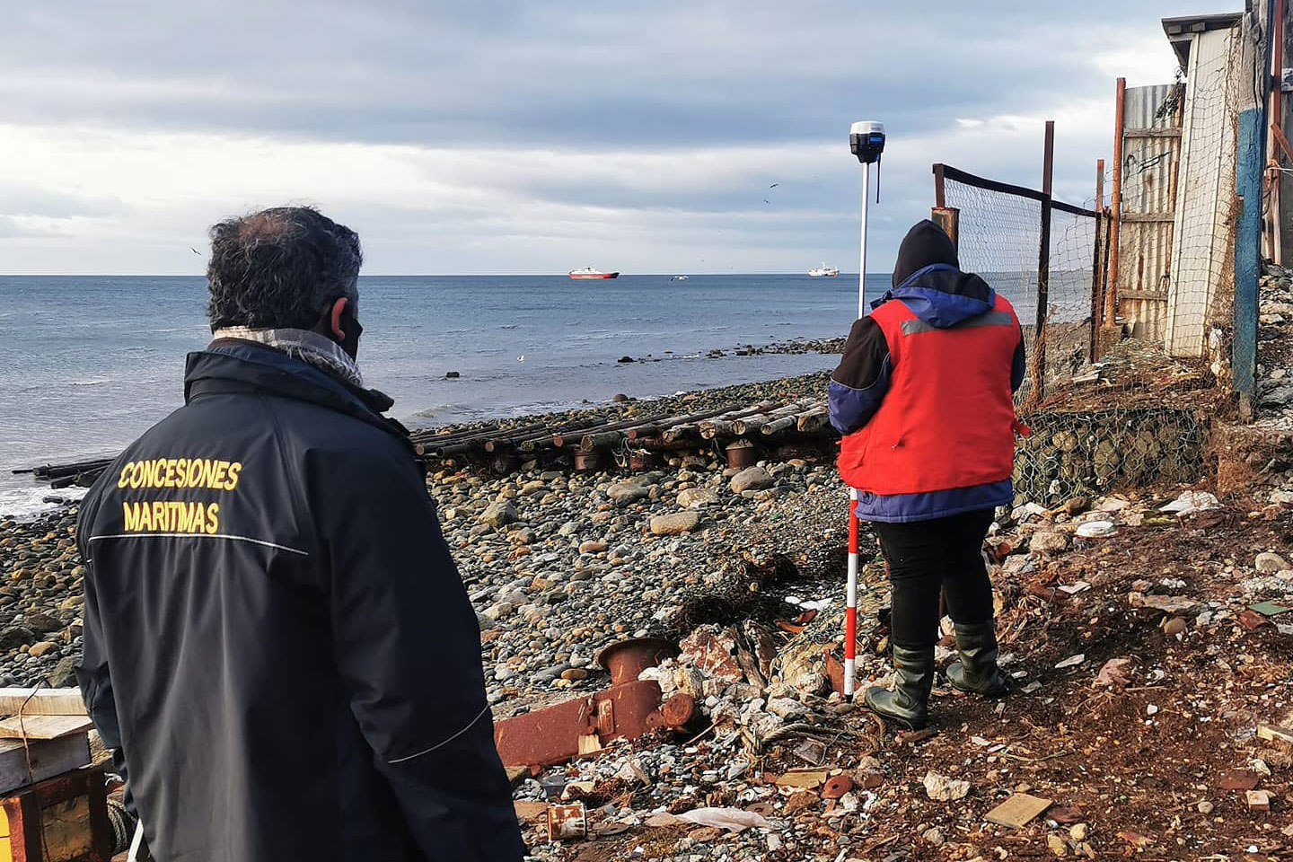
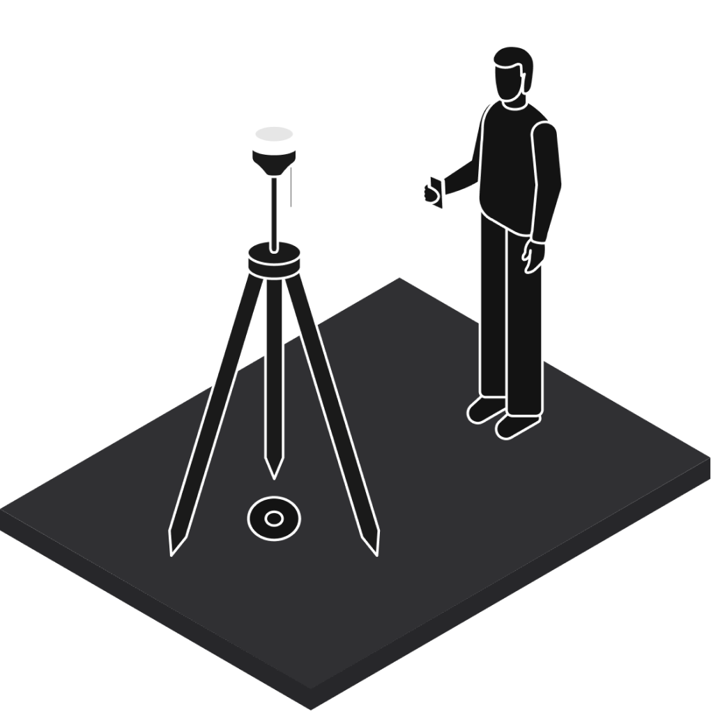
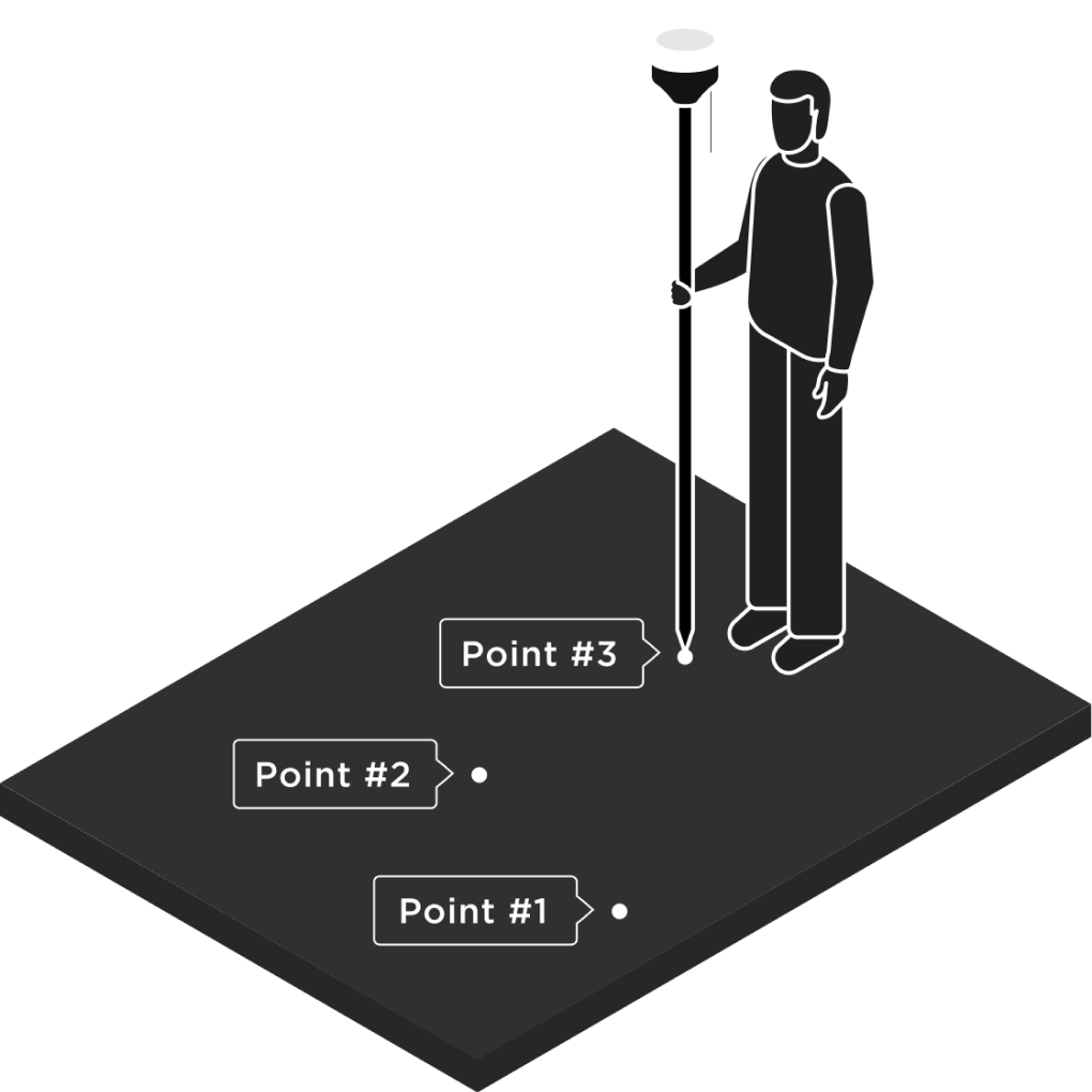
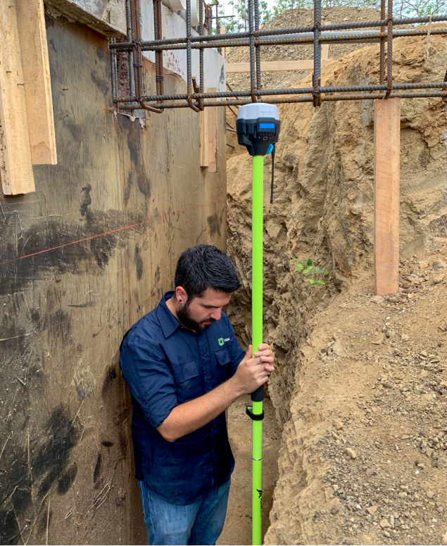
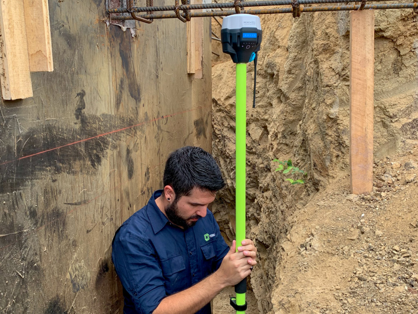
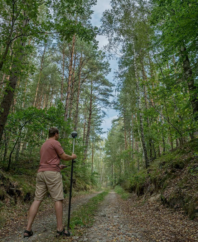
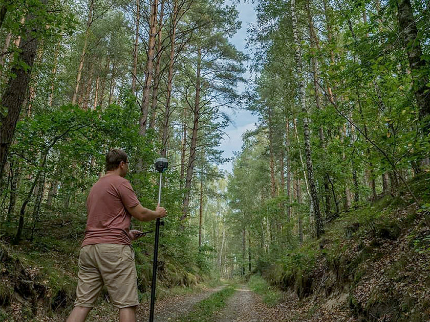
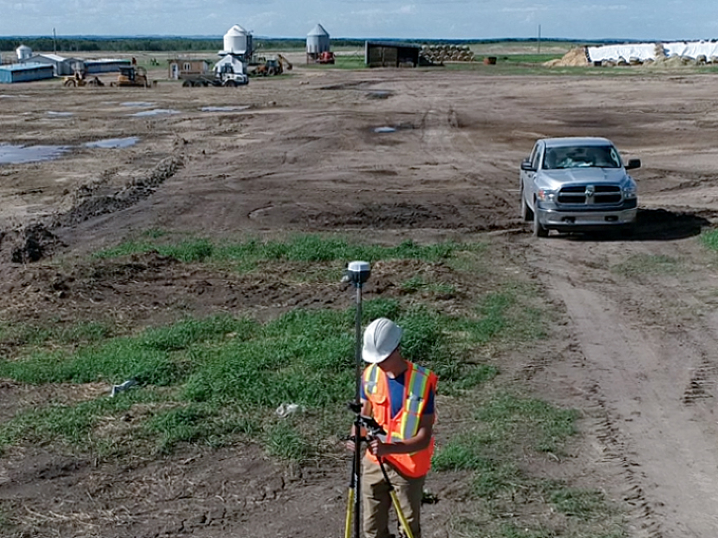
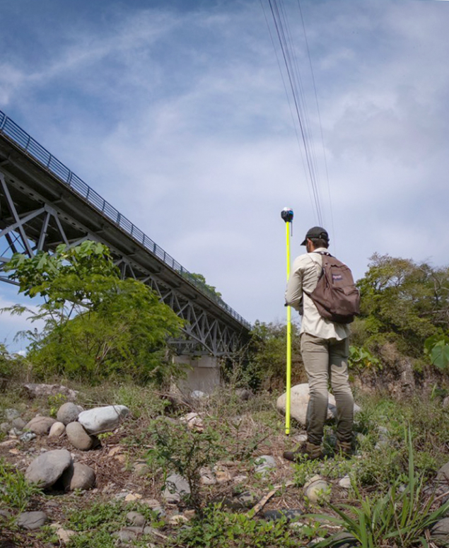
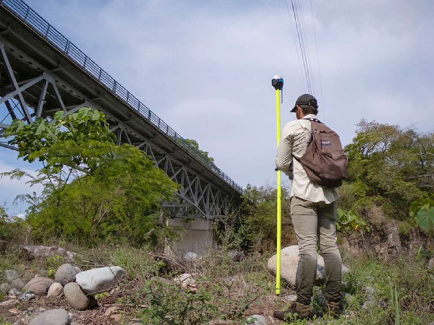
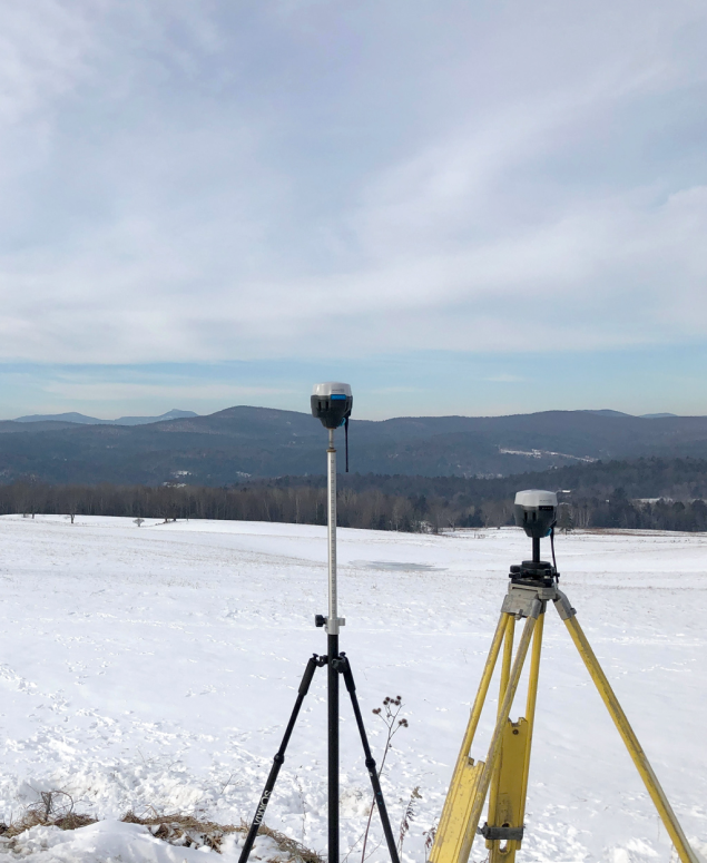
BuyGet centimeter-accurate results with tilt compensation

Rory Gillies
The Reach RS3 is a game changer for my team. The tilt compensation allows accurate surveying of hard to reach points, and building corners and walls can now be shot directly without using offsets. I am amazed at the accuracy, even with fairly large tilts! Emlid has done it again with the RS3, leading the way in affordable, accurate and versatile GNSS survey kit.
Joe Lawson
Using the RS3 was like using the RS2s for the first time, the opportunities the tilt compensation opened up for us were fantastic. Building corners and walls are now a breeze, also for recording points that are just that bit too far under cover.
If you're in the industry, tilt compensation is something you have to try. Emlid have once again brought this feature within reach for a wide audience, I can't wait to see the creative ways people will start putting this to use on the forums or user groups.