Reach in Drone Mapping Projects in Congo
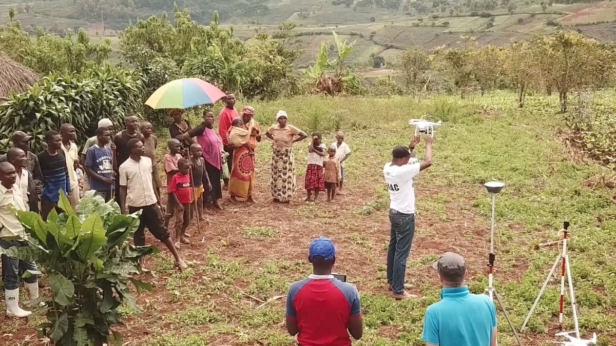
Emlid RTK GNSS receivers were recently used to carry out training and conduct UAV-based research in the Democratic Republic of the Congo (DRC). Drone mapping is no novelty for the DRC, but up to now most of the drone flying jobs are done by foreign contractors. Therefore the research groups from the Catholic University of Bukavu (UCB), Volcanic observatory of Goma (OVG) and the University of Lubumbashi (UNILU) saw the essential need for the region to have skillful people able to use drones for topographic mapping and land surveying.
With the assistance of the geography department of the UCLouvain (Belgium), the team went for support to ARES. Together, they launched a project aiming at creating a local center of excellence in UAV-based research in the DRC. The goals were to provide advanced training and to locally install a well-equipped UAV-laboratory.
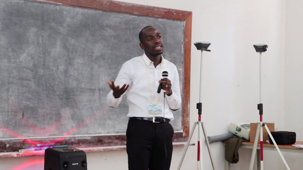
UCLouvain specialists invited three Congolese students to Belgium for three-weeks training. They mastered how to use drones and how to collect and analyze scientific data with drones.
The Congolese researchers then used Emlid products to collect centimeter-accurate 3D positional data to study soil erosion processes in Bukavu and to quantify termite mound volumes in Lubumbashi.
Using a Reach M+ RTK module and a Reach RS+ allowed to carry out efficient training and collect precise and reliable data for the research. A pair of Reach RS+ was deployed to survey ground control points, and a Reach M+ was integrated on a drone for PPK mapping.
Watch a documentary about drones and science in DRC (mostly in French)
During the research, scientists conducted numerous tests and published papers demonstrating repeatable accuracy and cost-effectiveness of Reach, read them below:
- Evaluating the Potential of PPK Direct Georeferencing for UAV-SfM Photogrammetry and Precise Topographic Mapping
- UAS-based soil carbon mapping using VIS-NIR (480–1000 nm) multispectral imaging
We want to thank our user Emilien Aldana Jague, a postdoctoral researcher from the University of Louvain, for sharing the video and the study article.
Reach RS+ for placing GCPs
With a set of Reach RS+ communicating via built-in LoRa radio, you can set as many GCPs in RTK mode as it is required. The process is quick and does not require an Internet connection. Control points locations are recorded with ReachView app available for iOS and Android. After the fieldwork is done, you can export data to your preferred mapping software in CSV, GeoJSON, DXF or ShapeFile formats.

Reach UAV Mapping Kit for PPK mapping
Set up Reach M+ on a drone and geotag photos using a camera hot shoe. With the data acquired with the Reach Mapping kit, it is possible to process maps with 2cm final accuracy. One of the advantages of this method is that you can reduce the number of ground control points thus save a lot of time when mapping for large areas. Mapping Kit containing tiny Reach M+, Reach RS+ and hot-shoe adapter for a camera is available in our online shop!

If you still have questions about RTK or don’t know where to start check out our documentation and join our community forum!