BLOG

What does it really take to launch your own surveying company? Beyond tools and technical skills, success hinges on strategy, confidence, and continuous learning. We spoke with Stefan Niculescu, a land surveyor in Scotland, and Jon Moraglia, a drone service provider from New Jersey, who both made the leap to independence.
by Anna Moroz July 10, 2025 Tags: Drone Mapping, Land Surveying, Reach RS2, Reach RS3

When accuracy matters in drone surveying, the key question is: photogrammetry or LiDAR? This article breaks down their differences, ideal use cases, and why pairing them with an RTK base station ensures reliable, high-precision results.
by Hassan Alavi June 30, 2025 Tags: Drone Mapping, GNSS, Industries, PPK, RTK
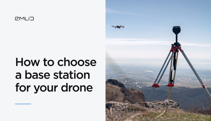
If you’re working in construction, mining, or infrastructure and aiming for centimeter-level accuracy, adding a GNSS base station to your RTK or PPK drone setup is essential. Emlid application engineer Kirill Pavlyuchuk shares expert tips on how to choose the right base station to power your high-precision mapping workflows.
by Kirill Pavlyuchuk April 30, 2025 Tags: Drone Mapping, PPK, Reach RS3, RTK
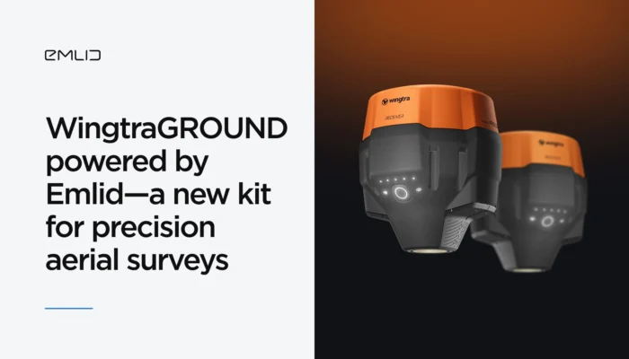
Emlid adds high precision to WingtraGROUND—the all-in-one kit for precision aerial surveys with Wingtra drones. The kit combines Emlid’s high-precision GNSS, seamless connectivity to the Wingtra ecosystem, and guided workflows via the Wingtra tablet. Explore right now.
by Olga Utiugova February 10, 2025 Tags: Drone Mapping, News, Reach RS3
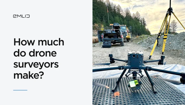
Drone mapping is a rapidly growing field, creating exciting opportunities for specialists. Read this article to discover the earning potential of US-based drone surveyors and effective pricing strategies.
by Anna Moroz February 4, 2025 Tags: Drone Mapping

In aerial mapping, your workflow mainly depends on the technology your drone employs—PPK (Post-Processing Kinematic) or RTK (Real-Time Kinematic). Understanding how each approach works will help you achieve accurate and reliable mapping results.
by Natalia Botygina December 10, 2024 Tags: Drone Mapping, GNSS, PPK, Reach RS3, RTK
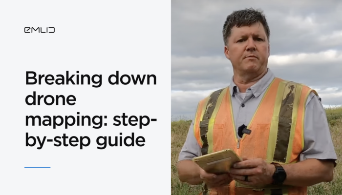
Despite the accessibility of drone photogrammetry, the technology remains a complex field with many nuances. In this blog post, we’ll walk you through the entire RTK drone mapping workflow from scratch.
by Natalia Botygina November 24, 2024 Tags: Drone Mapping, Reach RS2, Reach RS2+, Reach RS3, Reach RX, Tutorials
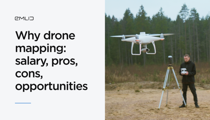
Why is drone mapping so appealing to newcomers? In this article, we’ll explore the career opportunities, income potential, and the future of drone mapping across multiple sectors.
by Anna Moroz October 24, 2024 Tags: Drone Mapping, Industries
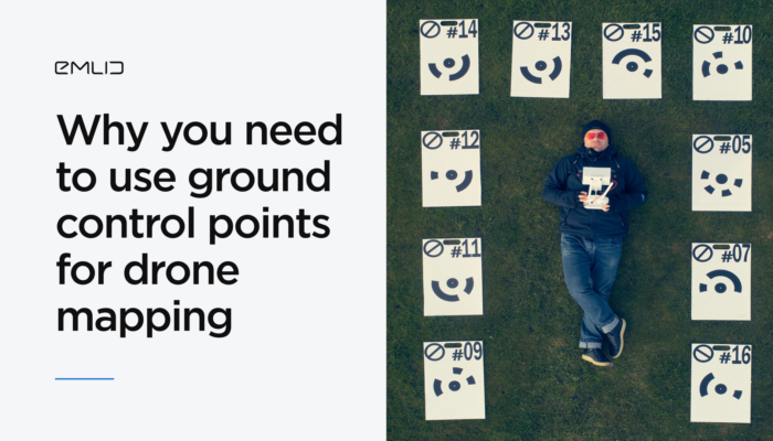
This article explains why ground control points (GCPs) are still crucial in drone mapping, how to place and collect them, and answers key questions like how many GCPs you need.
by Eric van Rees October 17, 2024 Tags: Drone Mapping, Industries
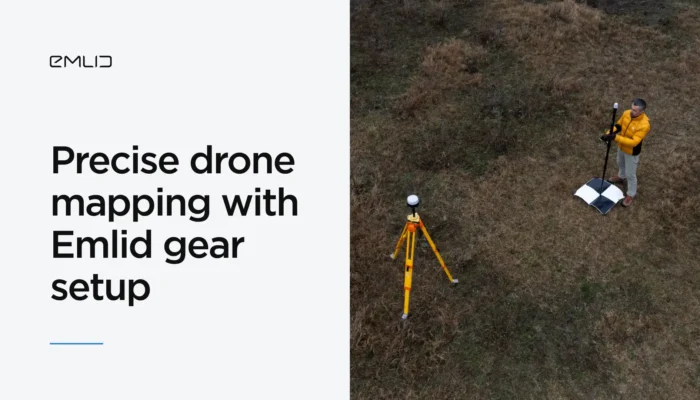
Achieve centimeter-level precision in drone mapping with Reach receivers. Explore the ultimate RTK mapping setup with a GNSS base station, ground control points, and more.
by Natalia Botygina July 26, 2024 Tags: Drone Mapping, Reach RS2+, Reach RS3, Reach RX
Get news about Emlid devices, features, events, new services, and discounts