BLOG

Reach helps farmers when it’s integrated with agricultural equipment or used for drone mapping. Check out cases of using Reach in precision agriculture.
by Valeriia Fursa May 31, 2024 Tags: Agriculture, Reach RS/RS+, Reach RS2
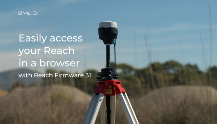
The new Reach Firmware 31 is out. Update your firmware to set a static IP address for your Reach and easily access your receiver in a browser through Reach Panel.
by Olga Utiugova August 2, 2023 Tags: News, Reach M+, Reach M2, Reach RS/RS+, Reach RS2, Reach RS2+
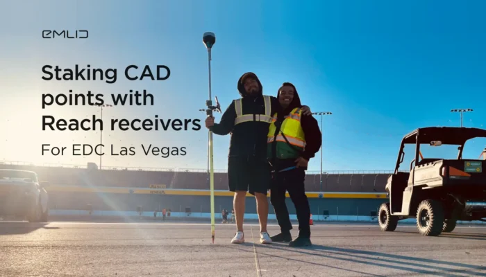
Check out how our users speeded up their workflow of staking out 4000 CAD points with Reach receivers and the Emlid Flow app.
by Olga Utiugova June 21, 2023 Tags: Construction, Reach RS/RS+, Reach RS2, Reach RS2+
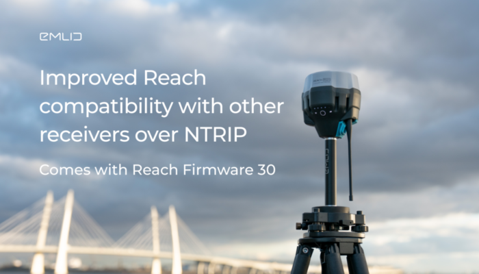
Meet Reach Firmware 30 update. With this release, we have improved Reach compatibility with third-party brands and PPK software.
by Olga Utiugova January 23, 2023 Tags: News, Reach RS/RS+, Reach RS2, Reach RS2+

La precisión es la clave para una agricultura eficiente y equilibrada. El uso inteligente de los receptores GNSS permite reducir los costes de manera considerable, facilitar el flujo de trabajo y mejorar los resultados. Los receptores GNSS de Reach ayudan a nuestros usuarios de diversas maneras, desde la colocación de los GCP para los estudios […]
by Olga Utiugova September 2, 2021 Tags: Agriculture, Reach RS/RS+, Reach RS2
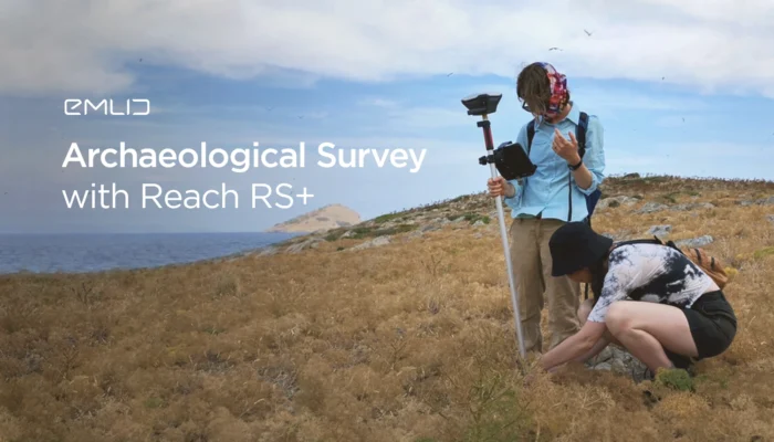
The researcher from the University of Toronto outlined why she started using Reach RS+ receivers for the archaeological survey. Read how Reach speeded up and simplified the work of her team.
by Olga Utiugova July 20, 2021 Tags: Archaeology, Reach RS/RS+
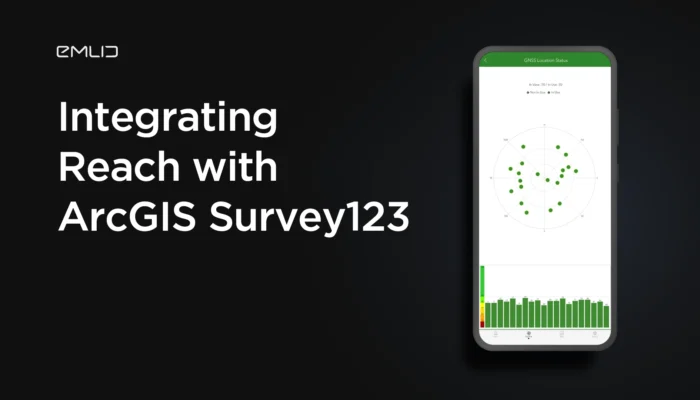
You can connect Reach receivers with the ArcGIS Survey123 app using both iOS and Android devices. Check out the detailed guide to connecting Reach with the app.
by Olga Utiugova June 4, 2021 Tags: Land Surveying, Reach RS/RS+, Reach RS2, Tutorials
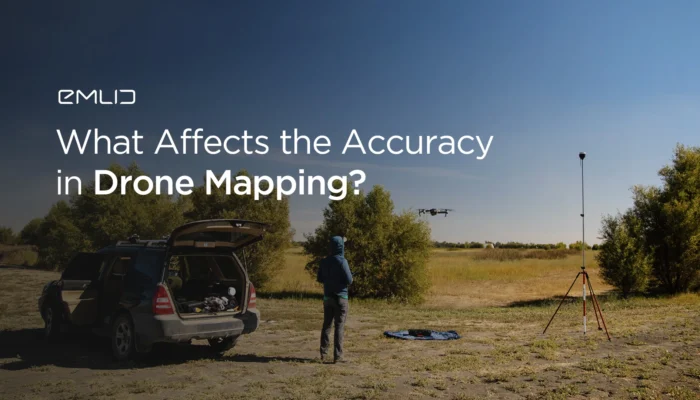
If your are getting started with drone mapping, check out our article on what factors affect data accuracy: from mission parameters to placing GCPs.
by Olga Utiugova April 29, 2021 Tags: Drone Mapping, Reach RS/RS+, Reach RS2
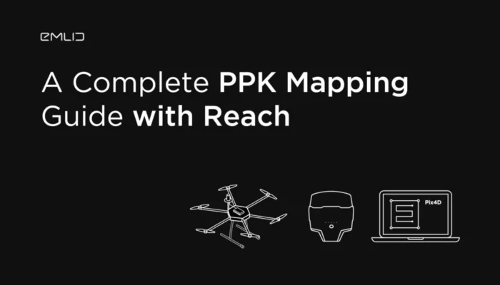
A complete guide on PPK mapping with Reach is out! We’ve gathered manuals on setting up Reach UAV kit, geotagging photos, and creating a map with Pix4Dmapper.
by Olga Utiugova February 26, 2021 Tags: Drone Mapping, Reach M+, Reach M2, Reach RS/RS+, Reach RS2, Tutorials

In this article, we’re answering some basic questions about GNSS and Reach. Types of accuracy, different heights, GCP placement, and other topics are covered here.
by Dmitriy Ershov November 9, 2020 Tags: Reach RS/RS+, Reach RS2, Tutorials
Get news about Emlid devices, features, events, new services, and discounts