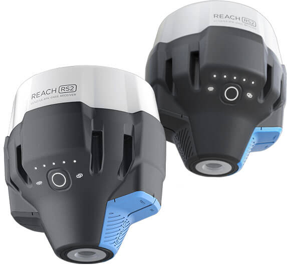
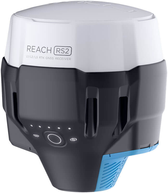
Reach RS2
Multi-band RTK base station for Phantom 4 RTK
Reach RS2 seamlessly integrates with RTK-capable drones by DJI
Works in both PPK and RTK modes

PPK survey with Phantom 4 RTK and Reach RS2
by Rory Gillies from Shetland Flyer Aerial Media
This technology is capable of providing extremely accurate mapping and surveying using RTK positioning. To demonstrate its capability, Rory, a commercial flyer, set up the Reach RS2 base station over an established benchmark point, enabled raw data logging and performed a flight. Then, back in the office, he post-processed the logs with RTKPost and Agisoft Metashape.
2D orthomosaic with Phantom 4 RTK and Reach RS2
by Fergal McCarthy from Drone Services Ireland
During the RTK survey, Phantom 4 RTK needs real-time corrections. The Drone Services Ireland team placed the base at the top of the site for the purpose. They used Emlid NTRIP Caster to transmit corrections from the base station to the Phantom 4 RTK and an additional Reach RS2 for placing GCPs.
This setup allowed the team to maintain RTK fix solutions throughout the whole mission and land the drone a few centimeters from where it took off. After the flight, the Drone Service Ireland team created a 2D orthomosaic of the Old Head of Kinsale Golf Course.
Precision landing during drone mapping in RTK mode by Drone Services Ireland
Connectivity

RTK
over NTRIP
RTK-capable drones need a base station as a source of corrections during flight. To connect your drone with the Reach base and pass RTK corrections, you can use Emlid NTRIP Caster. Set up your NTRIP credentials in ReachView 3 app by registering and creating an account. The app allows you to keep accounts for multiple NTRIP services in one place.

Logs RINEX for PPK
For PPK mapping, the Reach RS2 base station logs GNSS data in RINEX format. After the flight, you can process the RINEX files and align your photos to the coordinates.
How to set Reach RS2 as a base station for DJI Phantom 4 RTK drone
How to get started in
1.
Сreate an NTRIP mount point
Log in or create an account on the NTRIP service. You will be allocated a particular port and IP address as part of your credentials. You can then use your credentials to input your mount point’s details for both a base and a drone.

2.
Set up a base to transmit the corrections
Place your base. Set up the base coordinates for RTK mode and enable RINEX logging for PPK mode in the ReachView 3 app.

3.
Connect your base to the mount point
Insert credentials of NTRIP Caster to the Correction output settings in ReachView 3 app.

4.
Connect your Phantom
RTK drone to the same mount point
Go to the RTK Settings tab on your flight controller and insert your NTRIP credentials.

5.
Perform
a flight
Provide the Phantom 4 RTK with a clear sky view and proceed to the mission.

6.
Export
data
Download the precisely geotagged photos and use them to create orthophotos.

1.
Set up a base
Place your Reach RS2 base. Enable RINEX logging for PPK mode in the ReachView 3 app.

2.
Set up logging on your
Phantom RTK drone
On your flight controller, set up a flight in GNSS mode to record the raw position information.

3.
Perform
a flight
Provide your drone with a clear sky view and proceed to the mission.

4.
Export data
Download the RINEX files from Reach RS2, the raw positioning data, and the photos' timestamps from your drone.

5.
Process logss
Process the files in your PPK software to get an accurate position for each photo. 0000 0000

6.
Create your orthophotos
Proceed to create a map with accurately geotagged photos. 00000000


Engineered to be tough
Reach receivers are designed to work in challenging conditions
Up to 22 hours battery life
The industrial LiFePO4 battery doesn't wear out and can be charged via USB from a power bank.
IP67
All the unit’s connectors are completely sealed and protected with silicone plugs.
Functions in -20…+65ºС
It is capable of working in an incredible range of temperatures; it isn’t afraid of heat or cold.
Reach
in the Emlid Store
The ReachView 3 app and all features of Reach are included in the price and fully available.
Delivery worldwide.
2-5 days by DHL, up to 3 weeks by airpost.
Specifications
Mechanical
- Dimensions 126x126x142 mm
- Weight 950 g
- Operating tº -20…+65 ºC
- Ingress protection IP67
Electrical
-
Autonomy
16 hrs as 3.5G RTK rover,
22 hrs logging - Battery LiFePO4 6400 mAh, 6.4 V
- External power input 6–40 V
- Charging USB Type-C 5 V, 2 A
- Certification FCC, CE
Positioning
-
Static
H: 4 mm + 0.5 ppm
V: 8 mm + 1 ppm -
PPK
H: 5 mm + 0.5 ppm
V: 10 mm + 1 ppm -
RTK
H: 7 mm + 1 ppm
V: 14 mm + 1 ppm - Convergence time ~5 s typically
Connectivity
- LoRa radio
- Frequency range 868/915 MHz
- Power 0.1 W
- Distance Up to 8 km
- 3.5G modem
- Regions Global
-
Bands
Quad-band, 850/1900,
900/1800 MHz - SIM card Nano-SIM
- Wi-Fi 802.11b/g/n
- Bluetooth 4.0/2.1 EDR
- Ports RS-232, USB Type-C
Data
- Corrections NTRIP, VRS, RTCM3
- Position output NMEA, LLH/XYZ
-
Data logging
RINEX with events
with update rate up to 10 Hz -
Internal storage
16 GB
160+ days of logging at 1 Hz
GNSS
-
Signal tracked
GPS/QZSS L1C/A, L2C
GLONASS L1OF, L2OF
BeiDou B1I, B2I
Galileo E1-B/C, E5b
- Number of channels 184
- Update rates up to 10 Hz
- IMU 9DOF
Have a question?
Ask our team
Email us at info@blog.emlid.com or fill in the contact form. Our application engineers reply you within a working day (9:00-18:00 CET).


