RTK corrections: how the technology works and how accurate it can be
In the geospatial world, RTK (Real-Time Kinematic) corrections play a critical role in achieving highly accurate and precise results. In this article, we’ll explore the ins and outs of RTK corrections and answer key questions to shed light on this essential aspect of positioning.
What is RTK correction data?
RTK stands for Real-Time Kinematic. It’s a positioning technique that provides centimeter-level accuracy, enabling precise positioning of a GNSS (Global Navigation Satellite System) receiver.
RTK corrections are real-time data that allow GNSS receivers to measure the time it takes for a signal to travel from a satellite to the receiver. Because satellite signals are slowed and disturbed along the way, a stand-alone receiver can’t determine its position accurately. RTK is a technology that solves this problem.
How to receive RTK corrections?
Receiving RTK corrections requires three components: a base station, a rover, and a real-time data link between them.
A base station is a GNSS receiver placed at a known location with a stable position. It continuously tracks satellite signals and transmits data to the rover.
The rover receiver is used at the site where precise positioning is required. It receives the satellite signals and the data transmitted from the base station.
The data link establishes a communication channel between the base station and the rover to transmit correction data in real-time.
What is the RTK workflow?
Now, let’s break down the process of how RTK works:
1. RTK connection
A base station and one or more rovers can be connected over the radio or the internet in real time.
2. Base station
The base station continuously tracks satellite signals and transmits raw observations (data) and its position to the rover via the established data link.
3. Correcting rover measurements
When the base sends correction data to the rover, the latter can compute the double difference RTK algorithm and define its precise position.
4. Real-time updates
The base station continuously transmits data to the rover, ensuring real-time updates for precise positioning.
What applications require RTK positioning?
RTK is used in a wide range of applications that require exceptional accuracy.
It enables surveyors to obtain precise measurements for land surveying, mapping, and construction projects.
RTK is also essential for navigation of UAVs and other autonomous vehicles, ensuring precise positioning and real-time updates for safe and efficient operations.
In infrastructure development, RTK assists in the precise construction and alignment of infrastructure projects such as roads, bridges, and buildings.
For drone mapping and inspection, RTK supports precise flight control, enabling accurate mapping, aerial surveying, and inspection.
In addition, RTK is used in precision agriculture for accurate tractor guidance, automated crop spraying, and yield mapping to optimize farming practices.
How accurate is RTK?
RTK positioning typically achieves accuracy in the centimeter range. The accuracy of RTK surveying is affected by several factors, including the quality of the GNSS receiver, the environment in which it operates, and the availability of reliable RTK corrections. Here are some key points regarding RTK accuracy.
Baseline length
The baseline length refers to the distance between the base station and the rover’s receiver. In general, RTK achieves higher accuracy with shorter baselines. As the distance between the base and the rover increases, the GNSS accuracy may decrease slightly due to various sources of error, such as atmospheric delays.
Signal quality
The quality of the satellite signals received by the receiver affects RTK accuracy. Factors such as obstructions (buildings, trees), and satellite geometry (the number and distribution of satellites in view) can affect the quality and reliability of the signals. Higher-quality signals contribute to better accuracy.
RTK connection
A reliable communication link between the base station and the rover is critical. Delays or interruptions in the transmission of corrections can temporarily reduce accuracy.
Receivers quality
The quality and capabilities of the GNSS receivers play a role in achieving accurate RTK positioning. Receivers with advanced technology, multiple frequency support, and robust signal processing algorithms can help improve accuracy and reduce errors.
What are the benefits and limitations of the RTK technique?
RTK has become a reliable and widely used technology in various applications because of its main advantages: centimeter-level accuracy and real-time positioning. With RTK, users can access accurate and updated position information in real-time, enabling immediate position analysis and decision-making.
However, there are some limitations to consider: signal interruption and distance limitations. RTK is susceptible to signal interruption caused by environmental factors such as tall structures, dense urban environments, or tree canopies. These interruptions can temporarily degrade accuracy until a stable signal is restored. In addition, RTK corrections are typically effective within a certain radius of the base station. Beyond this range, accuracy may degrade, and additional measures may be required.
In summary, RTK enables the centimeter-level accuracy of a GNSS rover by using real-time correction data from a base station. These RTK capabilities benefit industries such as surveying, drone mapping, construction and infrastructure development, precision agriculture, and autonomous vehicles. However, despite the potential for highly accurate results, achievable accuracy may vary depending on the specific application, environmental conditions, and the specific implementation of the RTK system.
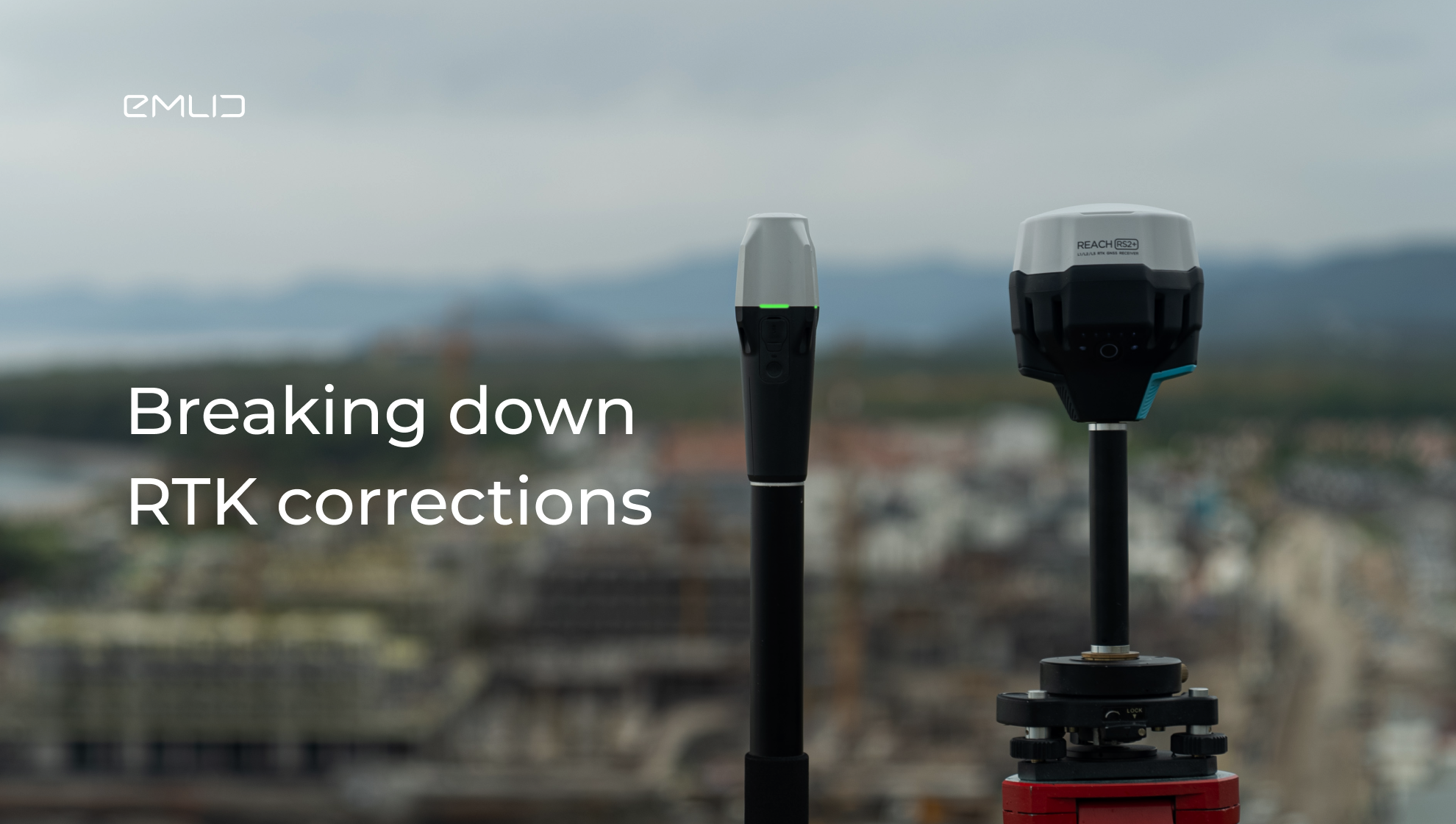
Get your Reach receivers for RTK surveying
For RTK surveys, Reach receivers is a go-to solution. They track all major satellite systems, including GPS, GLONASS, Galileo, and BeiDou, and provide reliable performance even in challenging conditions.
If you are surveying locations with stable Internet coverage, consider the Network Kit, which includes the Reach RS2+ base and the Reach RX rover. To establish the RTK connection between the receivers, use the free Emlid NTRIP Caster.
For surveying in versatile workflows, choose the Reach RS3 Survey Kit. It consists of two Reach RS3 units that can act as a base and rover. You can connect them via NTRIP or LoRa radio if you don’t have Internet access in your work area.