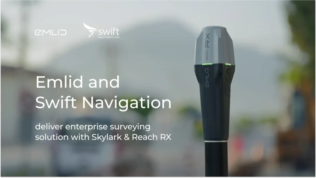
Swift Navigation and Emlid partner to deliver enterprise surveying solution with Skylark and Reach RX
Emlid has become an official partner of Swift Navigation’s SkylarkTM Precise Positioning Service. Through this collaboration, Swift and Emlid offer an easy-to-deploy and cost-effective RTK surveying solution for enterprise customers. Large project teams can now use Reach RX receivers and the Skylark subscription for precise positioning in state-wide or country-wide surveying projects.
Swift’s Skylark provides cloud-based GNSS corrections via NTRIP in the US, European countries, Australia, Japan, and South Korea. Skylark uses GNSS observations from hundreds of reference stations in its network to model corrections for entire countries and delivers them over the internet to the connected receiver.
When paired with Skylark, Emlid’s Reach RX delivers centimeter-level accuracy and a fix in seconds, even in challenging environments. Designed to make a surveying job easier, it works right out of the box and requires no configuration. It can be used by anyone on the team with no training required. The rover is lightweight and pocket-sized, allowing project teams to do the job fast and with minimum effort.
With its simple surveying workflow and highly accurate results, the Skylark and Reach RX combo provides an affordable and scalable solution for a variety of industries, including inspection, utilities, construction, mining, or research.
About Emlid
Emlid manufactures high-precision RTK GNSS receivers and software for the field and the office. Our products are used for surveying, construction, drone mapping, and more. Emlid devices are affordable, full-featured, and built to last, giving you high-precision positioning.
About Swift Navigation
Swift Navigation’s precision positioning solutions enable centimeter-level mapping, tracking, and navigation to unlock vehicle autonomy, industrial automation, and digital innovation across industries worldwide. Learn more about how Swift is building a safer, more connected future at www.swiftnav.com