BLOG
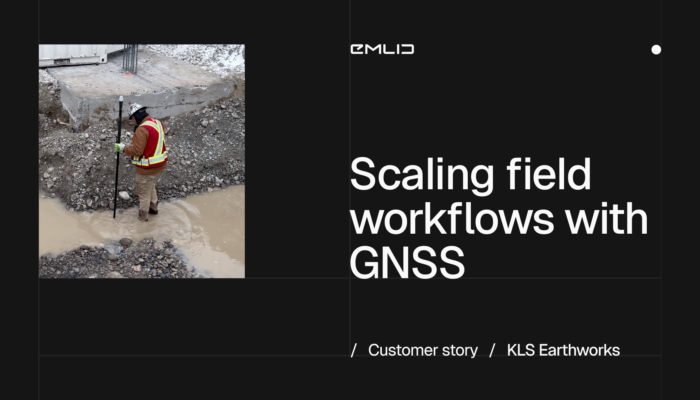
See how KLS Earthworks used GNSS for construction to scale to 60 active sites. By equipping supervisors with Emlid rovers, they eliminated layout delays and boosted field autonomy.
by Eric van Rees April 9, 2026 Tags: Construction, Customer story, Reach RX, Reach RX2

This year, Black Friday at Emlid turned into something better: a full Cyber Week of discounts on Reach devices. From December 1 to 8, get 10% off previous-gen Reach models.

Vulcan Line Tools is transforming how utility data is captured in the field. Using the Azmyth on Foot iOS app paired with Emlid’s Reach RX GNSS receiver, their team reduced survey time per pole from 20 minutes to just 30 seconds.
by Anna Moroz October 13, 2025 Tags: Customer story, Industries, Land Surveying, Mobile mapping, Products, Reach RX

Escambia County’s conservation team swapped tape measures and phone GPS for Emlid Reach receivers—boosting accuracy, saving time, and protecting wildlife.
by Sam Pepple September 29, 2025 Tags: Customer story, Environmental protection, GIS, GNSS, Reach RS2+, Reach RX

Accurate GNSS data is essential for reliable GIS results. Reach receivers bring centimeter-level precision to your GIS apps like ArcGIS, enhancing field data collection and powering smarter decisions. Learn how to integrate them and see real-world use cases in action.
by Natalia Botygina June 5, 2025 Tags: Agriculture, Construction, GIS, GNSS, Reach RS3, Reach RX
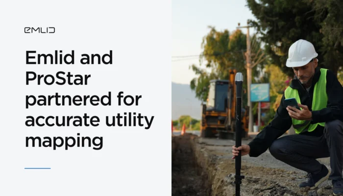
Emlid has partnered with ProStar Holdings Inc., a developer of the PointMan survey app, to provide an integrated solution for centimeter precise and cost-efficient mapping of underground utilities.
by Olga Utiugova March 31, 2025 Tags: Industries, News, Reach RS3, Reach RX
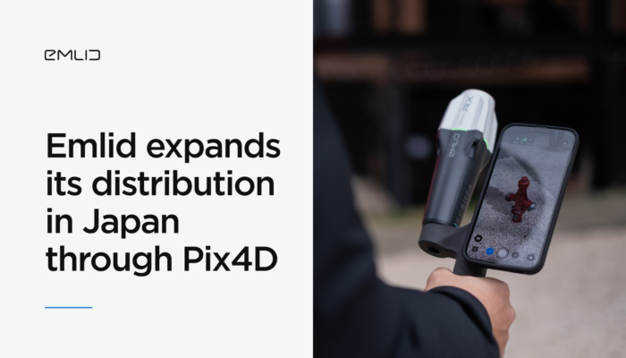
Reach GNSS receivers are now available in Japan—with local pricing, fast delivery, and expert support through Pix4D’s reseller network.
by Anna Moroz March 14, 2025 Tags: GNSS, Pix4D & Emlid Scanning kit, Reach RX
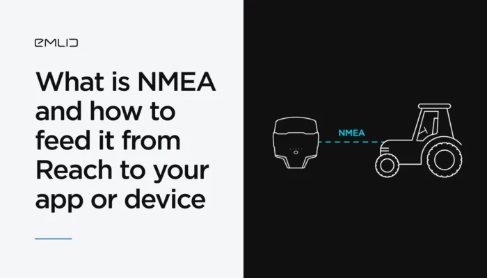
You’ve probably heard of the NMEA data format. We’ve explained what it means and how Reach receivers transmit data in NMEA format to GIS apps and various devices.
by Natalia Botygina January 23, 2025 Tags: Agriculture, Emlid Flow, GNSS, Land Surveying, Reach RS2+, Reach RS3, Reach RX, Tutorials
If you work in GIS, chances are you’re already using ArcGIS Field Maps. In this article, we’ll explain why Reach RX is the perfect choice for GIS professionals and how it integrates effortlessly with ArcGIS Field Maps for accurate survey results.
by Anna Moroz January 17, 2025 Tags: GNSS, Reach RX
Despite the accessibility of drone photogrammetry, the technology remains a complex field with many nuances. In this blog post, we’ll walk you through the entire RTK drone mapping workflow from scratch.
by Natalia Botygina November 24, 2024 Tags: Drone Mapping, Reach RS2, Reach RS2+, Reach RS3, Reach RX, Tutorials
Get news about Emlid devices, features, events, new services, and discounts