BLOG
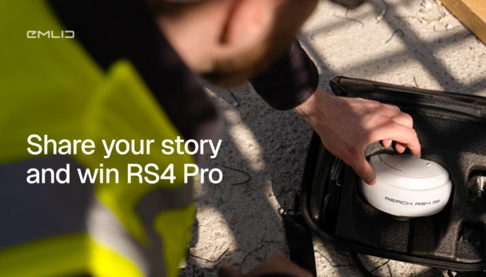
We’re giving away a Reach RS4 Pro, and all we ask in return is your real business story.
Post on LinkedIn between March 10 and 30 and share how Emlid helped your business with faster fieldwork, lower costs, better results, or more.
by Olga Utiugova March 10, 2026 Tags: News
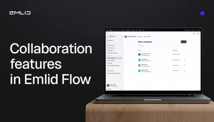
Meet the new collaboration tools in Emlid Flow and Flow 360 to bring your crew into one seamless workspace. The teamwork is available in the Free and Pro (formerly Survey) plans.
by Olga Utiugova December 4, 2025 Tags: Emlid Flow, Emlid Flow 360, News

This year, Black Friday at Emlid turned into something better: a full Cyber Week of discounts on Reach devices. From December 1 to 8, get 10% off previous-gen Reach models.
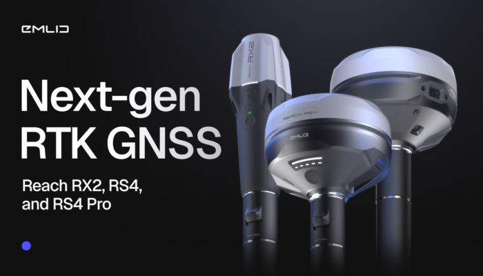
The future of RTK GNSS isn’t about complexity—it’s about simplicity, which translates into confidence. It’s about using gear that just works, everywhere, for everyone. Taking that philosophy further, we introduce the new generation of Emlid GNSS receivers.
by Anna Moroz October 6, 2025 Tags: GNSS, News, Reach RS4, Reach RS4 Pro, Reach RX2, RTK
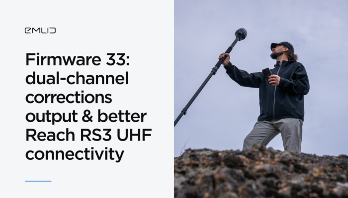
The Reach Firmware 33 introduces new features and improvements to refine Reach RS3 compatibility over UHF and allows you to stream corrections from your Reach base using two output channels at the same time. This update is available for Reach RS3, RS2/RS2+, RS+, M2, and M+ devices.
by Anna Moroz June 10, 2025 Tags: News, Reach RS3
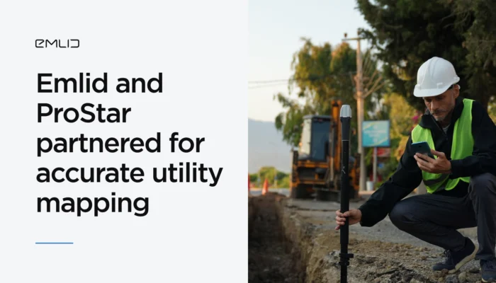
Emlid has partnered with ProStar Holdings Inc., a developer of the PointMan survey app, to provide an integrated solution for centimeter precise and cost-efficient mapping of underground utilities.
by Olga Utiugova March 31, 2025 Tags: Industries, News, Reach RS3, Reach RX
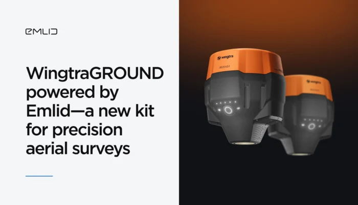
Emlid adds high precision to WingtraGROUND—the all-in-one kit for precision aerial surveys with Wingtra drones. The kit combines Emlid’s high-precision GNSS, seamless connectivity to the Wingtra ecosystem, and guided workflows via the Wingtra tablet. Explore right now.
by Olga Utiugova February 10, 2025 Tags: Drone Mapping, News, Reach RS3
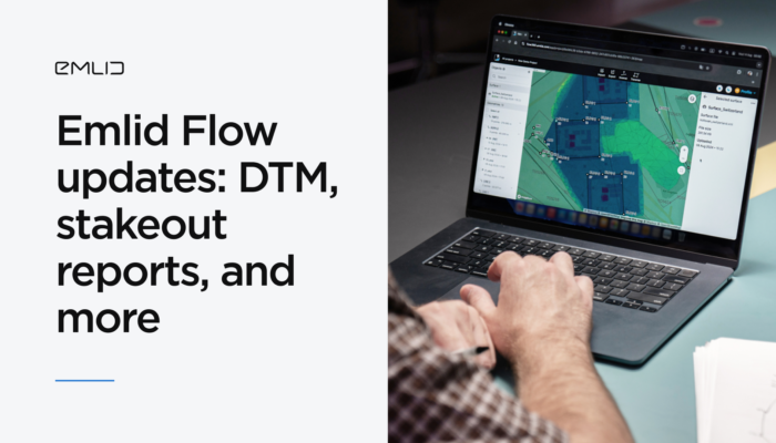
With the latest Emlid Flow and Emlid Flow 360 updates, you can perform a range of new jobs in land surveying and construction, including earthworks, topographic, and as-built surveys. Check out our brief overview, not to miss a thing.
by Anna Moroz September 20, 2024 Tags: Emlid Flow, News
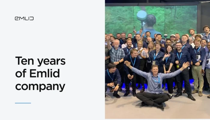
Founded in 2014, Emlid company has grown from two students working out of a kitchen to a team of over 100 employees spanning multiple disciplines and countries. Read on to learn more about Emlid’s evolution and join one of the largest geodesic communities out there.
by Anna Moroz September 5, 2024 Tags: News
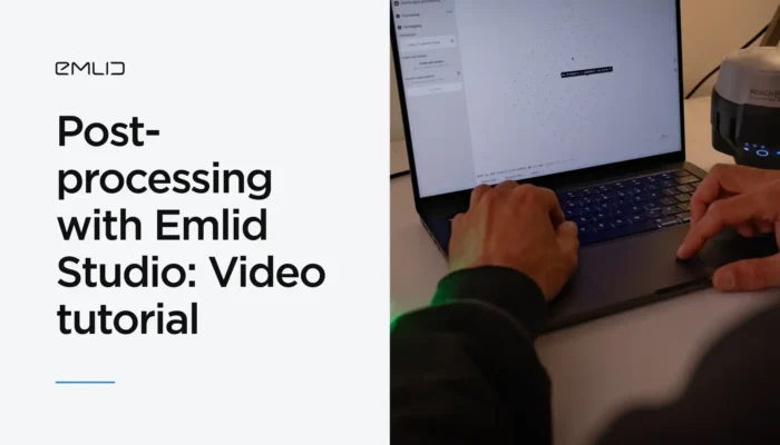
Discover Emlid’s new video course—Post-processing with Emlid Studio! Our second course is designed for those who work in PPK and aim for higher precision. You’ll learn how to prepare RINEX and drone data and post-process them using our free post-processing software, Emlid Studio.
by Natalia Botygina August 20, 2024 Tags: Emlid Studio, News, Products
Get news about Emlid devices, features, events, new services, and discounts