Reach RS2+ from a surveyor’s perspective
Recently, we launched Reach RS2+, an evolution of Reach RS2 and users have begun sharing their firsthand experience with the new Emlid receiver. Reach RS2+ was implemented into the daily routine of an architect, used as a base for RTK drones and on construction projects. We dived into our users’ workflows and want to share their impressions about Reach RS2+ performance.
Reach RS2+ for construction and topographic surveys
Armando Martinez is a Senior Architect at CEO ARQUITECTOSEM in Spain and a topographer. As an architect, he establishes the geographical coordinates of the projects. During his daily tasks, Armando locates and stakes out the property boundaries and the buildings on the lots.
One of his first projects with Reach RS2+ was projecting a two-story house and basement. The goal was to stake out points and prepare the excavation site for the placement of the new house. Usually, Armando performs such tasks using a total station or tape measure. For this project, our user staked out points using Reach RS2+ and then double-checked that everything was in place.
Armando works in RTK and passes corrections over NTRIP. He took advantage of an LTE modem so that Reach RS2+ has 4G coverage. The receiver made visits to architectural works faster and more efficient.


“Time is money, and for construction reasons, we can’t lose them in each stage of surveying. The Reach RS2+ helps us to lose less time on waiting as we obtain a FIX solution in seconds.”
Armando Martinez, Senior Architect at CEO ARQUITECTOSEM


Armando noted that Reach RS2+ has become indispensable in the team toolbox. He usually surveys with a combination of Reach RS2+ and Emlid Survey Pole, making transportation easy. Our user finds such a setup useful even to review a topographical point, saving the team doubts within their projects.
“We can review elements on-site such as the start of the ramps and building limits, the autonomy of Reach RS2+ allows me to do it alone in a few minutes,”
said Armando.
Armando had another project commissioned by a client who wanted to know the graphics distance of his terraces in Murcia plaza. It was an opportunity to certify the new modem signal coverage in the city center surrounded by buildings. He noted the improved stability and speed of receiving RTK data over network corrections service.


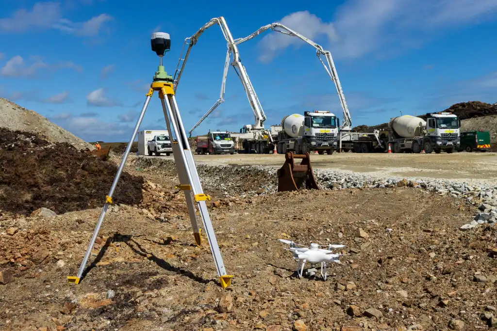
Reach RS2+ as a base station for drone mapping projects
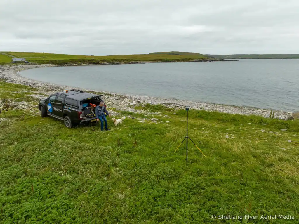
Rory Gillies, a professional drone pilot from the United Kingdom, shared how he used Reach RS2+ for several drone mapping projects. He performed an aerial mapping survey in Orkney for a 750-hectare area. The setup consists of two Phantom 4 RTK drones and Reach RS2+ as a correction source in network RTK mode. The RTK corrections were streamed from the base to the drones with Emlid NTRIP Caster. Rory observed control and checkpoints with a second Reach RS2 using the same NTRIP stream.

With the Reach RS2+, Rory achieved great accuracy and using two drones lets him capture photos for several days. The images were color-corrected prior to generating the orthomosaic to remove the banding and balance the light across the survey area.


Rory also surveyed three islands to create 3D models for the National Trust of Scotland. He used the Phantom 4 RTK for the photogrammetry images in PPK mode and Reach RS2+ as a base station. There was no cellular network at the site so PPK was the only option. Without a boat, it wasn’t possible to set any GCPs. The Reach RS2+ was logged for three hours and then processed in Emlid Studio with OS RINEX data. Once the base location was established, Rory Gillies processed the drones’ tracks for the six flights and obtained a 100% fix.
Sharing the Internet with other devices
The main advantage of Reach RS2+ compared to Reach RS2 is the 4G connection that users achieve with an LTE modem. Rory said Reach RS2+ makes a big difference because they use the receiver’s hotspot to share the Internet for their iPad Mini 5 tablets.
“We have only two iPads with cellular data, and they both are 11” iPad Pro. Using the smaller iPad Mini is much more convenient for surveying,”
said Rory.
Another user from Norway, Tore Berthelsen, also found the opportunity to access the Reach RS2+ hotspot useful for devices without a modem or a SIM card.
“We tested and compared RS2 vs RS2+ cellular network: 2G vs 4G. I have tried the new LTE within the new Reach RS2+, and I can tell you, it was spectacular. My old survey tablet shines with the shared 4G from the RS2+,”
said Tore.
Get your Reach RS2+ / RS3 from $2499
Reach RS2+ and Reach RS3 are professional GNSS receivers for land surveying. Receivers are available in the Emlid online store and ship worldwide from our warehouse. You can also buy the Reach receivers from official Emlid dealers—find your local dealer here.
To get your project featured, don’t forget to tag @Emlid in your posts on social media. We’re always glad to learn more about your work.