BLOG
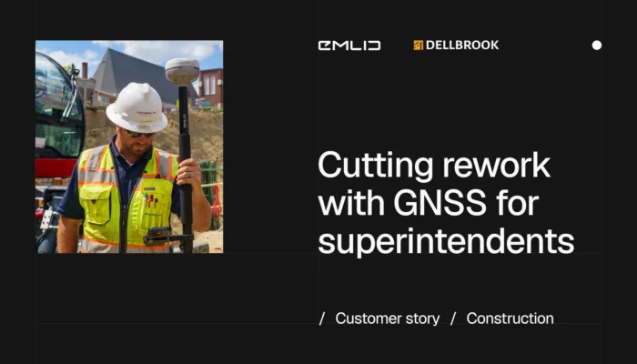
How Dellbrook, a New England construction management firm, closed the gap between subcontractor layout and verification—one job-costed Emlid receiver at a time.
by Ana Ramos July 16, 2026 Tags: Construction, Customer stories
The design said 5,000 m³. The site needed 7,000. Here’s how to set up earthworks planning and progress tracking so the gap shows up on site, not on the invoice.
by Natalia Botygina July 14, 2026 Tags: Construction, Emlid Flow, Emlid Flow 360, Reach RS4

An as-built survey records the final position, dimensions, and elevation of finished structures before they’re covered or handed over. This guide walks the full workflow with Reach receivers, Emlid Flow, and Emlid Flow 360.
by Natalia Botygina June 25, 2026 Tags: Construction, Emlid Flow, Emlid Flow 360, Emlid NTRIP Caster, Emlid Studio, GNSS, Reach RS4, Reach RX2
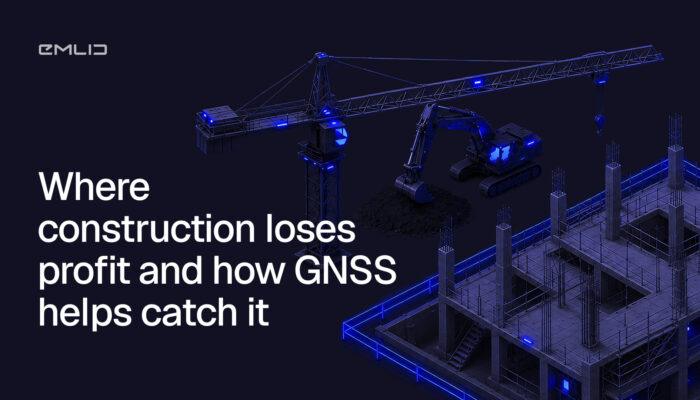
On most projects, profit doesn’t vanish in one big loss. It leaks out in small moments: a measurement that’s off, a crew standing around, a quantity you can’t prove. Here’s where it happens and how GNSS helps you catch each one before it costs you.
by Ana Ramos June 23, 2026 Tags: Construction, Emlid Flow, Emlid Flow 360, GNSS, Reach RS3, Reach RS4, Reach RS4 Pro
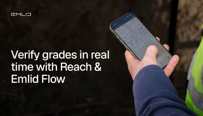
Before any structure goes up, the ground has to match the design. Here’s how crews use RTK GNSS and Emlid Flow to manage cut and fill in real time, across building pads, road alignments, utility trenches, and more.
by Natalia Botygina June 10, 2026 Tags: Construction, Emlid Flow, Emlid Flow 360, GNSS
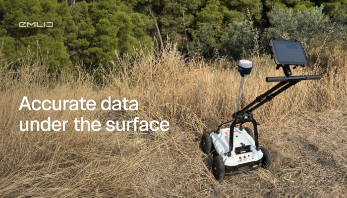
Ground-penetrating radar tells you what’s underground. But it can’t tell you where it is in real-world coordinates. Add a centimeter-accurate GNSS receiver like Emlid Reach to the workflow, and everything changes.
by Eric van Rees June 2, 2026 Tags: Archaeology, GIS, Reach RS2
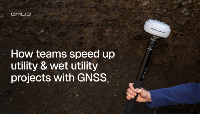
Underground utilities are the one part of a job you can’t fix without a shovel. GNSS handles stakeout, grade verification, and as-built capture on the same project—so your crew doesn’t have to choose between moving fast and getting the record right.
by Ana Ramos May 20, 2026 Tags: Construction, GNSS
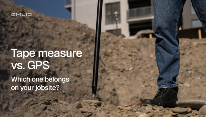
Understand tape measure vs. GPS for construction layout: four places a tape fails, and what GPS RTK does instead.
by Ana Ramos May 7, 2026 Tags: Construction, GNSS
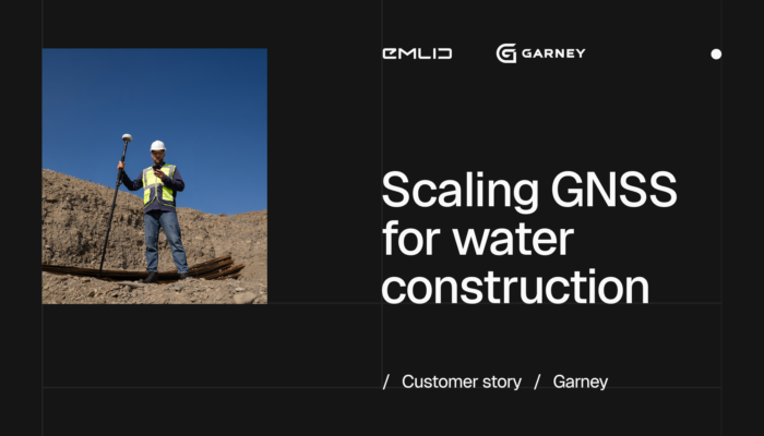
Garney Construction is rethinking field work across its US water and wastewater projects. Construction Technology Manager breaks down what’s changing: syncing the office and field, and doing fewer trips into the trench.
by Ana Ramos May 5, 2026 Tags: Construction, Customer story, Emlid Flow 360, Reach RS4 Pro, Reach RX2
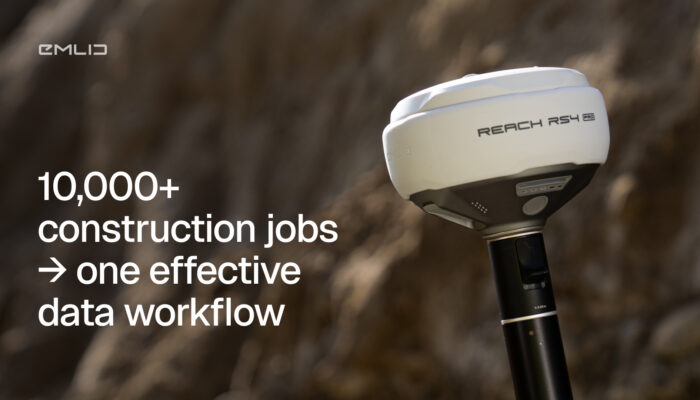
At 10,000+ construction jobs a year, manual data handoffs cost you time and accuracy. Here’s how to structure a workflow that scales.
by Ana Ramos April 16, 2026 Tags: Construction, Emlid Flow
Get news about Emlid devices, features, events, new services, and discounts