BLOG

Tilt the pole, skip the bubble level, still get the right coordinate. Here’s how IMU tilt compensation works, what affects its accuracy, and when to use it in the field.
by Eric van Rees July 23, 2026 Tags: GNSS, Land Surveying, Reach RS3, Reach RS4, Reach RS4 Pro, Reach RX

Survey data shouldn’t live only on a screen. With AR stakeout and visual data capture on the Reach RS4 Pro, you see design points in the real world and measure hard-to-reach targets.
by Natalia Botygina February 26, 2026 Tags: Construction, Industries, Land Surveying, Products, Reach RS4 Pro

Vulcan Line Tools is transforming how utility data is captured in the field. Using the Azmyth on Foot iOS app paired with Emlid’s Reach RX GNSS receiver, their team reduced survey time per pole from 20 minutes to just 30 seconds.
by Anna Moroz October 13, 2025 Tags: Customer story, Industries, Land Surveying, Mobile mapping, Products, Reach RX

How do you manage 670 garden plots when your base maps are outdated? GIS consultant Semir Kahrimanovic modernized workflows using Reach RS2 and ArcGIS Field Maps.
by Eric van Rees August 6, 2025 Tags: Customer story, GIS, Land Surveying

Environmental consultant Ryan Gay uses Emlid Reach RX and ArcGIS apps to streamline preconstruction assessments for oil and gas projects—ensuring accuracy, compliance, and time savings in every survey.
by Sam Pepple July 30, 2025 Tags: Customer story, GIS, Land Surveying

What does it really take to launch your own surveying company? Beyond tools and technical skills, success hinges on strategy, confidence, and continuous learning. We spoke with Stefan Niculescu, a land surveyor in Scotland, and Jon Moraglia, a drone service provider from New Jersey, who both made the leap to independence.
by Anna Moroz July 10, 2025 Tags: Drone Mapping, Land Surveying, Reach RS2, Reach RS3

Accurate GNSS positioning empowers GIS professionals to collect data with precision, driving smarter decisions in urban planning, agriculture, and more. This article explores key applications of centimeter-level GPS and how it enhances GIS workflows across industries.
by Sam Pepple June 18, 2025 Tags: Agriculture, Construction, GIS, GNSS, Industries, Land Surveying
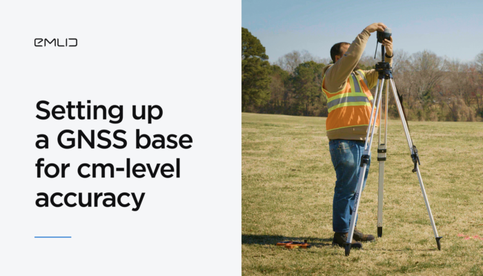
A correctly set-up base station is essential for accurate GNSS surveys in RTK. Since your rover’s coordinates are only as accurate as the base’s placement, any shift in the base will directly affect the rover’s measurements. Learn the key steps for setting up a base.
by Natalia Botygina April 15, 2025 Tags: Emlid Flow, Industries, Land Surveying, Reach RS3, RTK, Tutorials
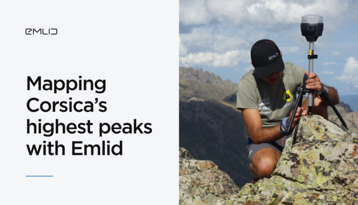
The Sostremetries team set out to fix Corsica’s outdated mountain lists using high-precision GNSS technology. By combining Emlid Reach RS2+ and RS3 receivers with LiDAR and digital terrain models, they redefined what counts as a summit.
by Anna Moroz March 31, 2025 Tags: Customer story, Industries, Land Surveying, Reach RS2+, Reach RS3
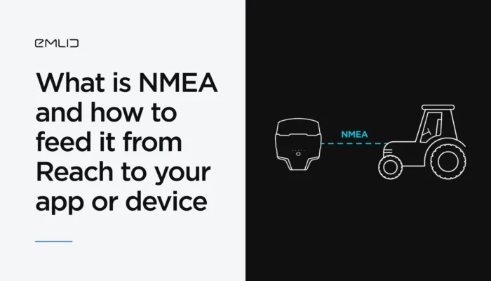
You’ve probably heard of the NMEA data format. We’ve explained what it means and how Reach receivers transmit data in NMEA format to GIS apps and various devices.
by Natalia Botygina January 23, 2025 Tags: Agriculture, Emlid Flow, GNSS, Land Surveying, Reach RS2+, Reach RS3, Reach RX, Tutorials
Get news about Emlid devices, features, events, new services, and discounts