BLOG

Long-term projects need long-term accuracy. This article explains when to use a permanent GNSS base station, how it works, and how to set it up for reliable positioning over days, weeks, or years.
by Anna Moroz January 21, 2026 Tags: GNSS, Products, Reach RS2+, Reach RS3, Reach RS4, Tutorials

This year, Black Friday at Emlid turned into something better: a full Cyber Week of discounts on Reach devices. From December 1 to 8, get 10% off previous-gen Reach models.

Escambia County’s conservation team swapped tape measures and phone GPS for Emlid Reach receivers—boosting accuracy, saving time, and protecting wildlife.
by Sam Pepple September 29, 2025 Tags: Customer story, Environmental protection, GIS, GNSS, Reach RS2+, Reach RX
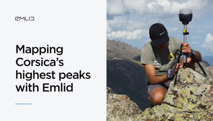
The Sostremetries team set out to fix Corsica’s outdated mountain lists using high-precision GNSS technology. By combining Emlid Reach RS2+ and RS3 receivers with LiDAR and digital terrain models, they redefined what counts as a summit.
by Anna Moroz March 31, 2025 Tags: Customer story, Industries, Land Surveying, Reach RS2+, Reach RS3
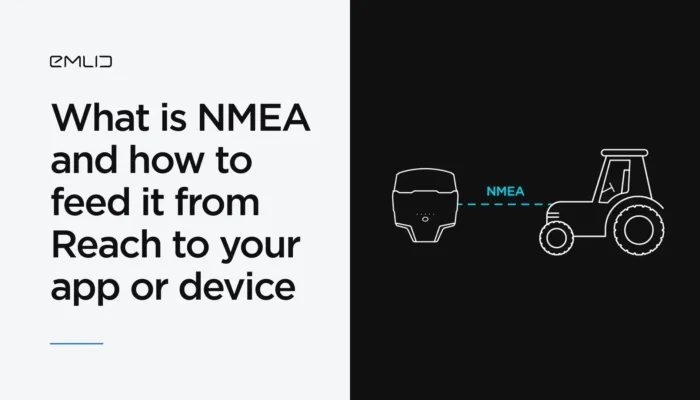
You’ve probably heard of the NMEA data format. We’ve explained what it means and how Reach receivers transmit data in NMEA format to GIS apps and various devices.
by Natalia Botygina January 23, 2025 Tags: Agriculture, Emlid Flow, GNSS, Land Surveying, Reach RS2+, Reach RS3, Reach RX, Tutorials

Mobile or robotic mapping and surveying solutions are evolving to enable rapid data collection over large areas. Read how Reach integrates seamlessly with different types of machinery, how it enables mobile mapping and robotic surveying, and how it can elevate your operations.
by Anna Moroz November 28, 2024 Tags: Construction, Land Surveying, Mobile mapping, Products, Reach RS2+, Reach RS3
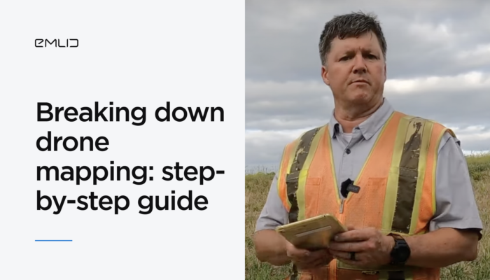
Despite the accessibility of drone photogrammetry, the technology remains a complex field with many nuances. In this blog post, we’ll walk you through the entire RTK drone mapping workflow from scratch.
by Natalia Botygina November 24, 2024 Tags: Drone Mapping, Reach RS2, Reach RS2+, Reach RS3, Reach RX, Tutorials
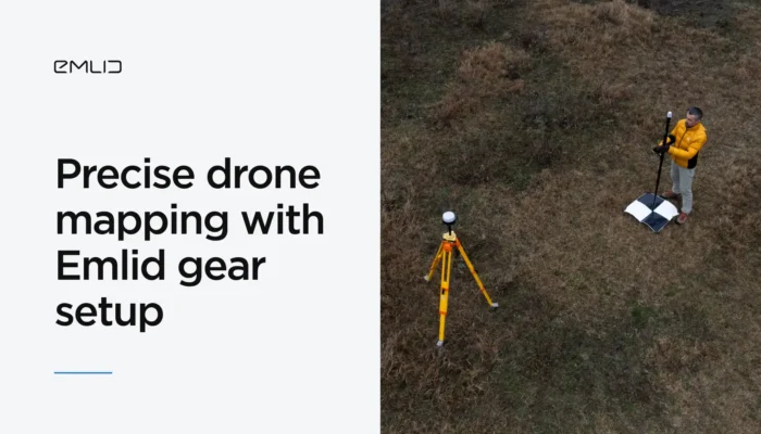
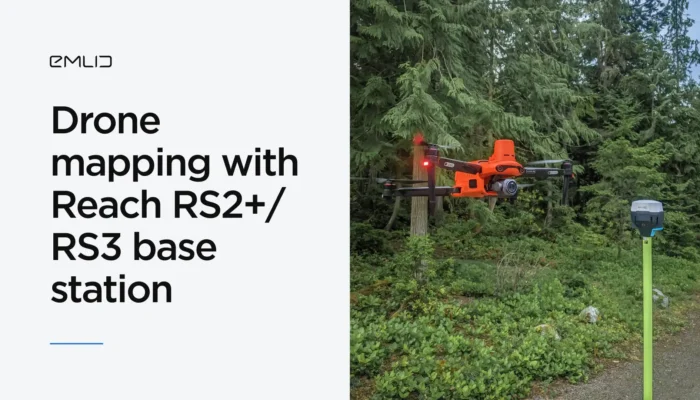
Achieve centimeter-level precision in drone mapping with Reach receivers. Explore the ultimate RTK mapping setup with a GNSS base station, ground control points, and more.
by Natalia Botygina July 26, 2024 Tags: Drone Mapping, Reach RS2+, Reach RS3, Reach RX
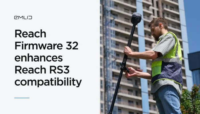
The firmware update ensures seamless integrations of Reach RS3 across various surveying apps and enhances the performance of Reach receivers.
by Anna Moroz July 19, 2024 Tags: News, Reach RS2, Reach RS2+, Reach RS3
Check out our guide on how to set up Reach RS2 / RS2+ as a base for the Autel Enterprise drone. And see how Emlid user perform drone mapping with Reach RS2 and the Autel EVO II Enterprise.
by Olga Utiugova June 19, 2024 Tags: Drone Mapping, Reach RS2, Reach RS2+
Get news about Emlid devices, features, events, new services, and discounts