
 BLOG
BLOG
RTK vs PPK: what to choose for drone mapping
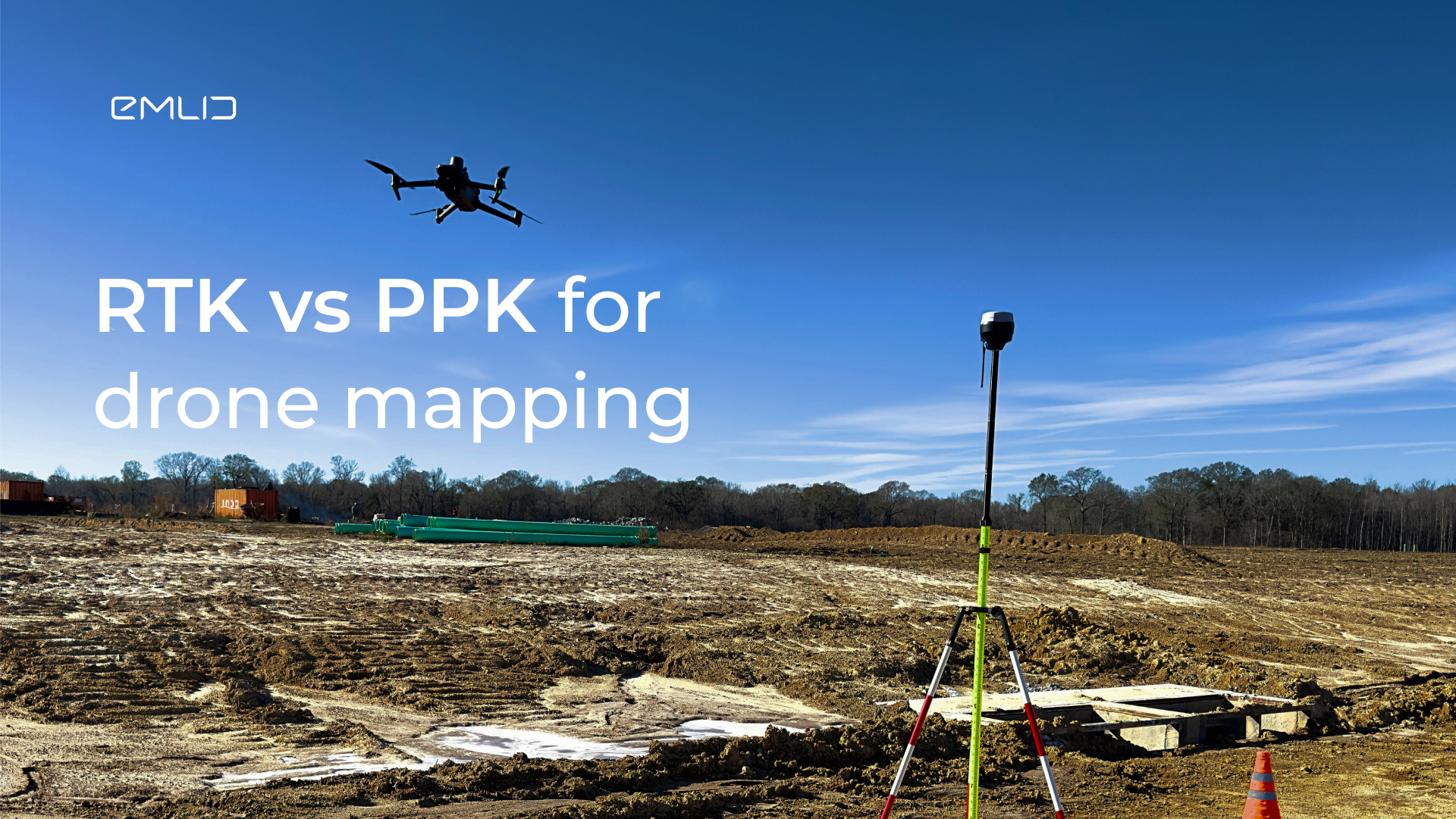
When it comes to drone surveying, there are two main workflows to consider: Real-Time Kinematic (RTK) and Post-Processing Kinematic (PPK). Both methods utilize a GNSS base station and correction data to improve the accuracy of a drone survey. But how do you decide between RTK vs PPK for drone mapping?
What is the difference between RTK and PPK?
First, let’s understand the key differences between RTK and PPK. In an RTK workflow, the base station transmits the correction data to the drone. This allows the drone to correct its position in real time and collect accurate survey data. On the other hand, in a PPK workflow, the base station and the drone don’t have a real-time connection but instead log raw GNSS data. After the UAV flight, the data collected by the base station and the drone receiver are post-processed in the PPK software, such as Emlid Studio. In this way, the accuracy of the drone’s positioning can be improved in a post-processed kinematic (PPK) survey.
For both RTK and PPK workflows, it’s recommended to place several ground control points (GCPs) throughout the survey area before the drone flight. GCPs are essential for greater mapping accuracy to properly scale and rotate your map correctly, whether you are using PPK GPS or RTK survey techniques.
Which is more accurate: PPK vs RTK?
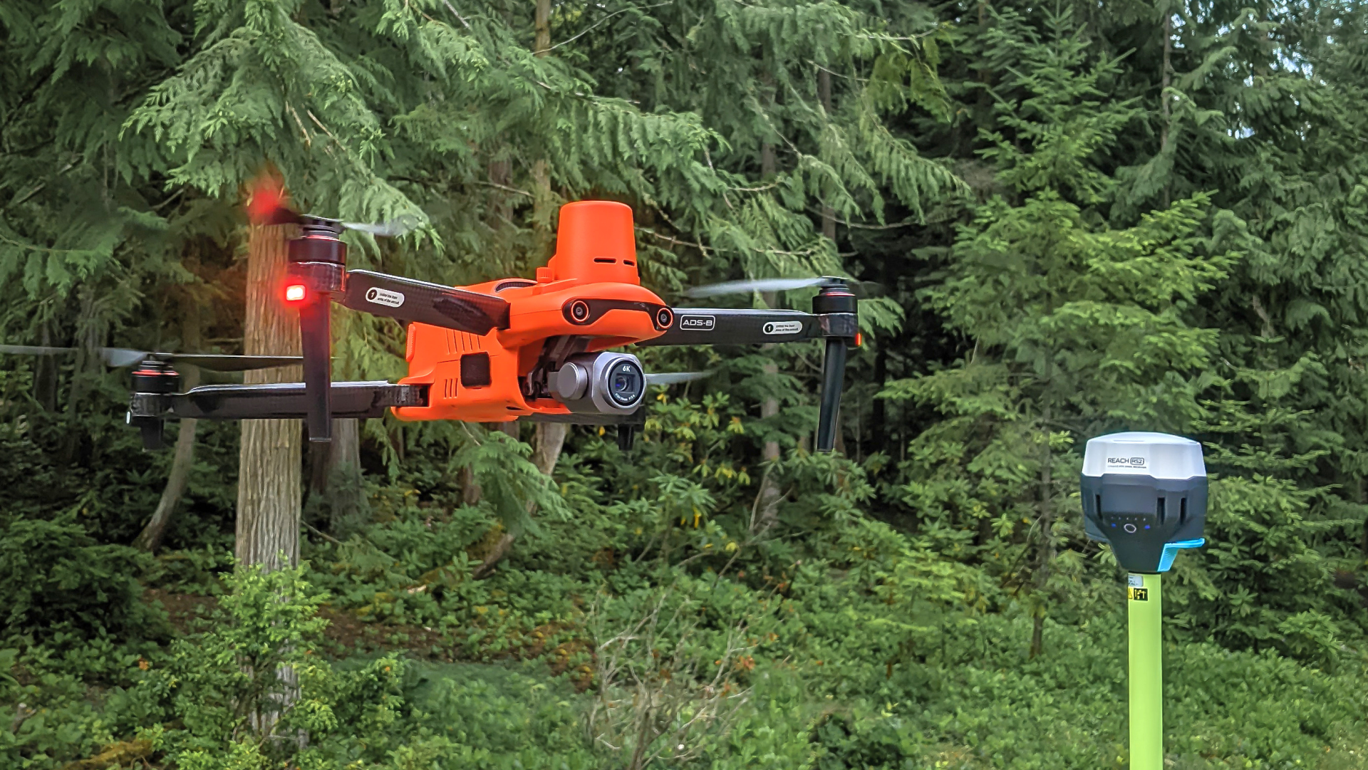
When comparing PPK and RTK survey techniques, both methods can provide highly accurate results if implemented correctly. The main factors affecting accuracy are the quality of the correction data and the equipment used. Emlid Reach receivers provide high-quality correction data to improve the accuracy of PPK drone surveys as well as RTK surveys anywhere in the world.


Overall, during a PPK survey, post-processing the collected data multiple times with different settings can help achieve the most accurate results. So if you need to ensure the highest accuracy for your RTK drone, you can use PPK as a backup for an RTK survey.
How to choose between RTK and PPK in drone mapping?
When deciding on the best approach for drone mapping, the choice between PPK and RTK depends on specific requirements and constraints.
If you have a time-sensitive project or situations where immediate feedback on survey accuracy is critical, an RTK survey is the way to go. It allows you to see accurate results directly from a flying drone in RTK, meaning you have instant feedback on whether you need additional flights or adjustments. The downside of this workflow is that it requires a constant connection between the drone and the base station. The disrupted connection will result in a signal loss.
On the other hand, a PPK survey offers greater flexibility as it doesn’t require a real-time connection between the drone and the base station. This makes mapping with a drone in PPK suitable for areas with poor network coverage or longer distances between the base and the UAV. Post-processing enables the correction of errors that may have occurred during the mission for both PPK and RTK surveys.
Reach receivers for RTK and PPK mapping
For both PPK and RTK drone surveys, the Reach RS2+ receiver is a reliable choice. It can act as a base station for PPK drones and is compatible with RTK drones from DJI, Autel, and other manufacturers. The receiver is suitable not just for GPS PPK or RTK surveys—it tracks all major satellite systems, including GLONASS, Galileo, and BeiDou. With these satellite systems tracked, Reach RS2+ gets a Fix solution in seconds and maintains robust performance even in challenging conditions.
For RTK workflows, it’s easy to connect Reach RS2+ to the drone via NTRIP using the free Emlid Caster. In cases where there is no internet coverage at the survey site, the Reach base can still connect to the drone using the Local NTRIP option. To learn more about Reach receivers for drone mapping and to get Reach RS2+ for your projects, visit this page.