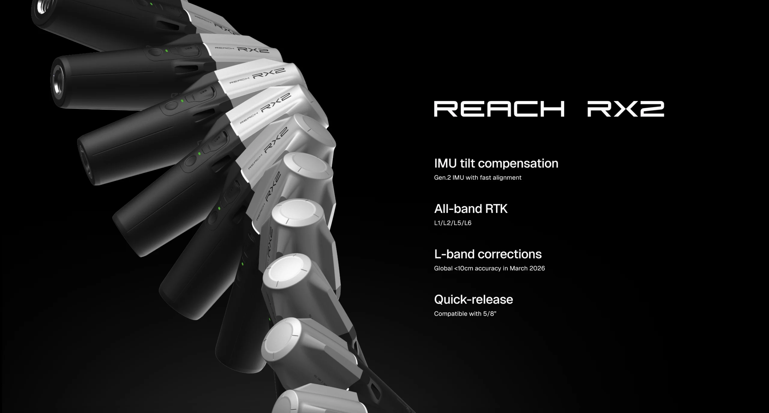
The Reach RX2 for GIS and construction teams: simple and scalable data collection
If you manage GIS or construction projects, you know that accurate location data is non-negotiable. But what if you could scale data collection across teams without the need for every team member to be a trained surveyor?
With the Reach RX2, now you can.
This compact RTK rover delivers the precision of a professional surveying tool with the simplicity your crews need to start working right out of the box. Built for real-world tasks, the RX2 helps GIS, construction, and utility teams collect accurate data faster and stay in sync from field to office.
So, let’s explore how the Reach RX2 fits into your workflows, eliminates training bottlenecks, and gets the job done, accurately and at scale.
Simple to pick up, fast to master
The Reach RX2 was built to work at the speed of your projects. It’s preconfigured and ready to go from the moment it’s powered on. Teams just connect to a CORS or NTRIP service, get a fix, and start collecting data, no complicated setup or training sessions required. This simplicity is a key reason many teams now equip field workers and supervisors, not just surveyors, with the RX2 units.
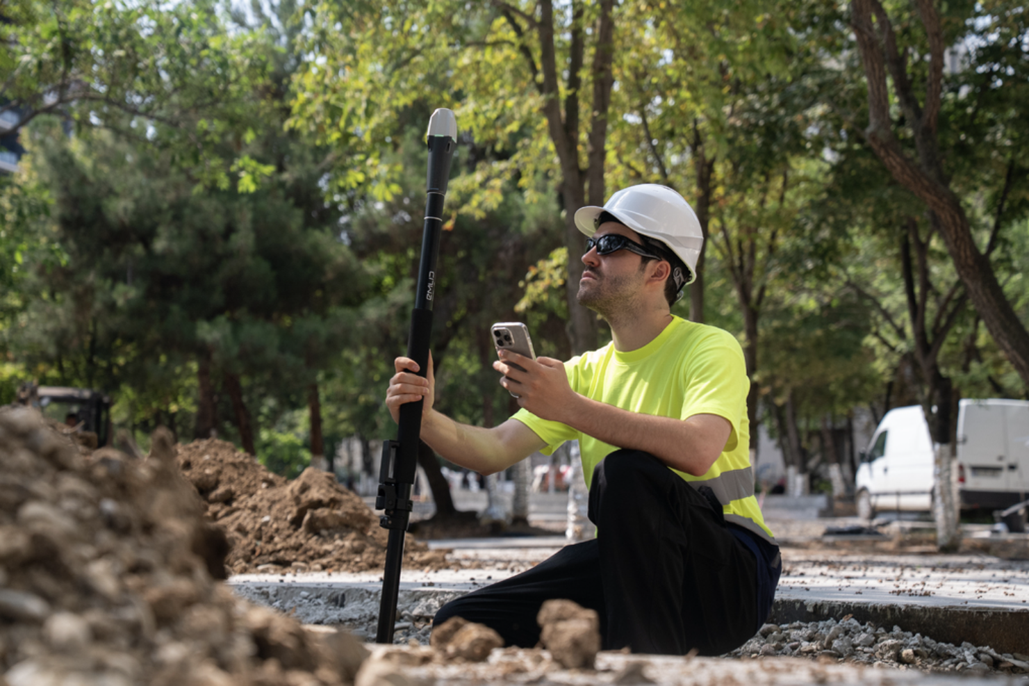
What makes the RX2 especially effective is its any-angle tilt compensation. It allows crews to take accurate measurements times faster, even when the pole can’t be perfectly vertical, like near walls, in tight corners, or under overhangs. Just get an RTK fix, rotate the pole slightly, and start measuring. The tilt engine is factory-calibrated and immune to interference from nearby metal objects like vehicles or rebar.
“One of the key benefits we’ve already seen with the Reach RX is its simplicity and ease of use. We see this being deployed to people who aren’t surveyors. Now, with tilt compensation, the Reach RX2 is going to be super helpful in urban environments where you’re up against a building. Capturing some of those sample sites without putting yourself in the danger zone can also be pretty handy.”
— Alistair Hart, Mangoesmapping, Australia.
Accuracy you can trust, even at high tilt angle
The Reach RX2 supports L1, L2, and L5 bands across all major satellite constellations, with 672 GNSS channels ensuring reliable performance under canopy, near buildings, or in urban settings. The result is fast, consistent data collection even in locations where traditional rovers struggle.
The receiver also integrates Emlid’s new-generation IMU tilt compensation to deliver survey-grade accuracy at any tilt angles: RTK + 2 mm + 0.3 mm/°. Unaffected by magnetic fields, the RX2 provides stable accuracy even in metallic environments, a common issue on construction and utility sites.
“Now users can stick the pole, stay on the top of the trench, and still get precise measurements.”
— Andreas Larsen, RTK Connect, Denmark.

Built for GIS, construction, and utility workflows
The Reach RX2 comes with Emlid Flow, our intuitive app for iOS and Android that creates an end-to-end solution for field tasks in construction, utilities, GIS, and landscaping. Your field data is instantly synced to the cloud-based Emlid Flow 360, giving your office team real-time visibility and the latest updates.
Key field tasks you can perform with the Reacg Rx2:
- Set string lines and guide points. Place reference points to guide construction and layout.
- Record existing site features. Document utilities, trees, and structures for planning or design.
- Measure slopes and grades. Check inclines for proper drainage or terrain adjustments.
- Locate property corners. Mark precise locations for building outlines or fence lines.
- Verify the placement. Confirm built elements match design plans accurately.
- Mark out DXF designs. Transfer points and lines to exact spots on site.
- Mark centerlines and offsets. Trace the exact paths for roads, pipelines, or structural elements.
- Capture elevations and identify cut/fill zones. Plan and check the earthwork.
All workflows are easily performed through a simple, clear interface.
“I think the software ecosystem is going to be extremely powerful. I love the Emlid Flow 360 and the collaboration features.”
— Maximilian Boosfeld, Wingtra, Switzerland
Compatible with your GIS apps
The Reach RX2 works seamlessly with the software tools your team already uses.
Whether you’re working in ArcGIS Field Maps, Survey123, QField, Mergin Maps, or other GIS apps, the RX2 integrates smoothly. With Apple MFi certification, RX2 connects natively and reliably to iPhones and iPads. It also works seamlessly with Android devices.
Thus, for teams working across landscaping, construction layout, utilities, or public infrastructure, this integration makes it easy to assign work, check results, and deliver consistent outcomes faster.

Designed for real-world job sites
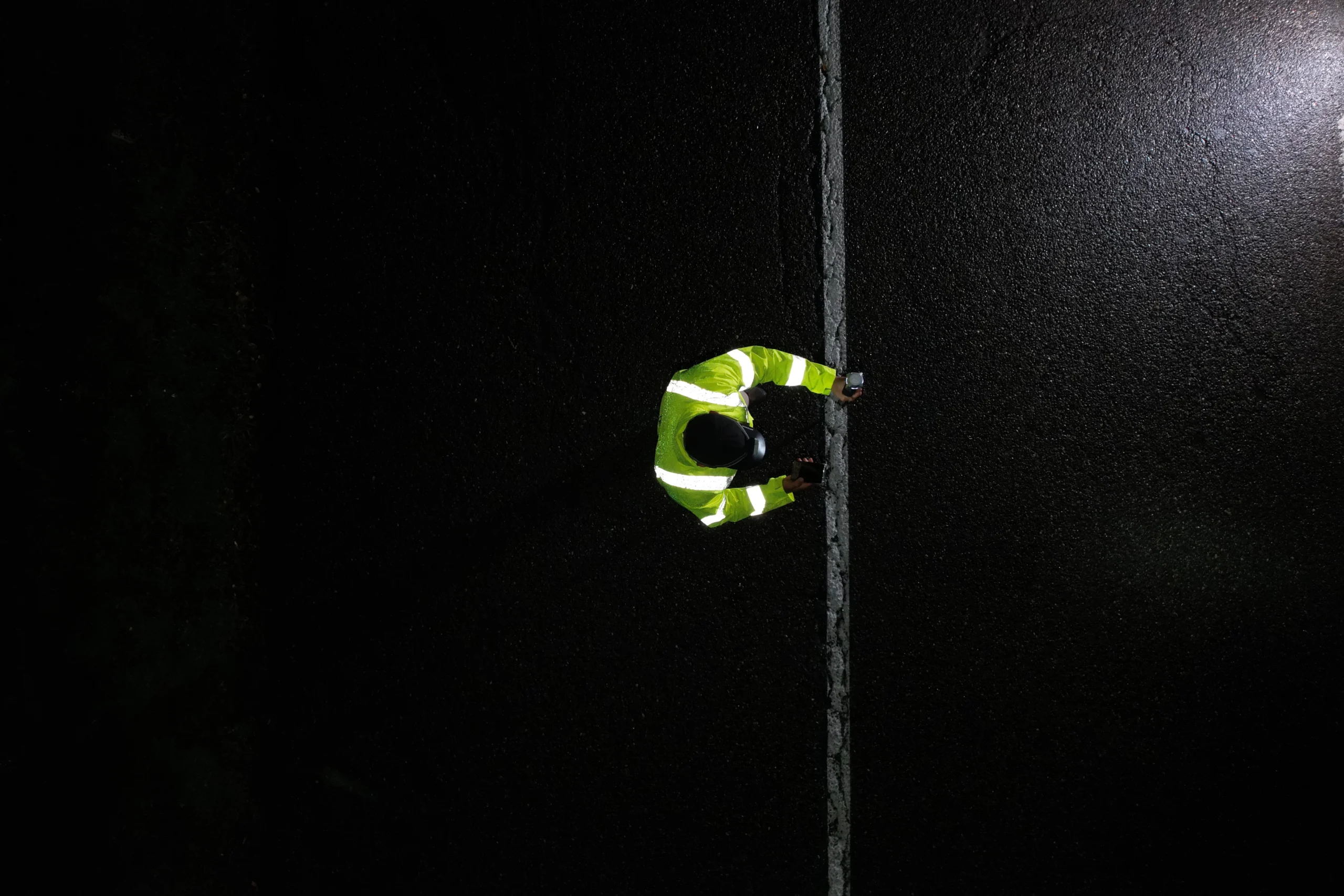
Despite its pocket-sized format, the Reach RX2 is a rugged tool built to withstand daily fieldwork. The housing is IP68-rated and weather-resistant, keeping the rover safe through mud, dust, and rain.
The rover runs for up to 16 hours on a single USB-C charge, ensuring your team stays productive through long shifts. And when it’s time to recharge, any standard USB-C power bank will do the job.
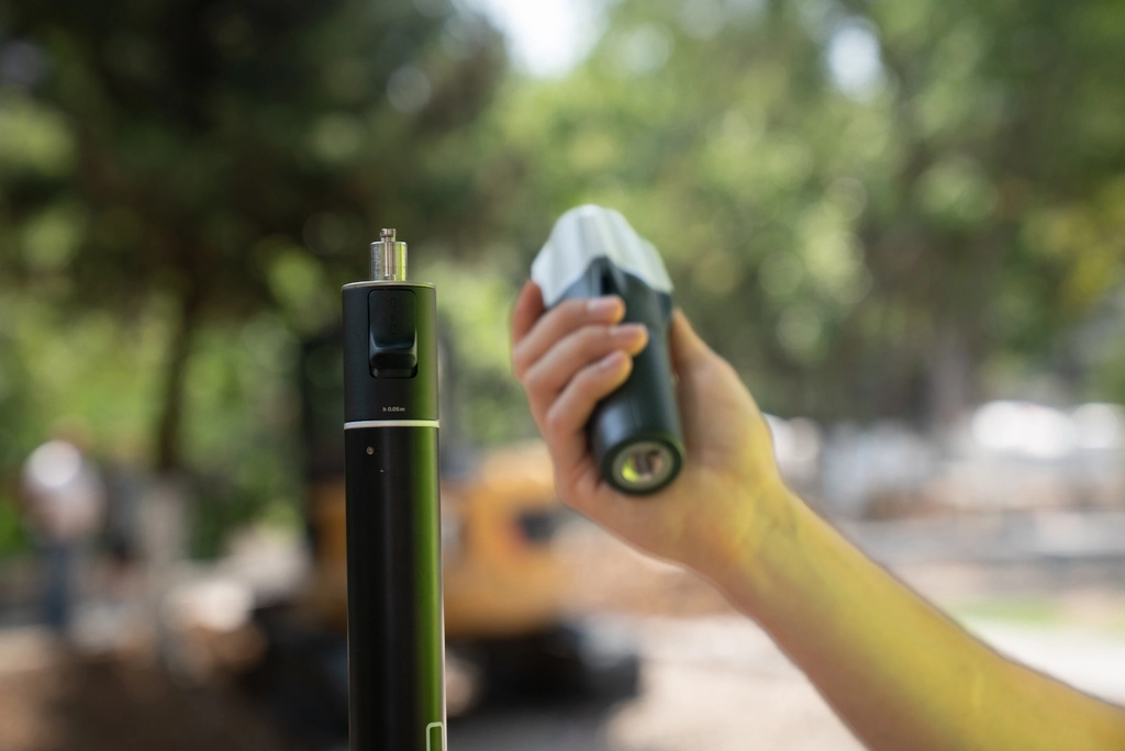
Also, the RX2 features a quick-release mount with a dedicated thread that locks securely into a pole, maintaining tilt precision. It also lets the crew attach the receiver to the pole or handle on the go and easily switch between the scanning apps and Emlid Flow.
“The quick-release is a dream come true: clip it on a pole, attach/remove in seconds, and switch seamlessly between Pix4D Capture and Emlid Flow for a fast dual workflow”.
— Mateo Gismondi, Pix4D Japan
Ready to scale with the Reach RX2?
The Reach RX2 is built with scalability in mind. Thus, as your projects grow, you can deploy more units across crews and expect the same performance and predictable workflows. Even teammates who don’t survey daily can collect dependable data with minimal guidance.
“It’s perfect for any kind of utility surveying because of the ease of use and the very short learning curve.”
— Tamás Körösvölgyi, RoaData Consulting, Hungary
So, if you need a reliable, scalable, survey-grade rover that’s simple enough for anyone on your team to use without compromising on precision, the Reach RX2 is your straightforward choice.
Pre-order now at the Emlid Store or contact your official Emlid dealer.