BLOG
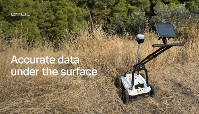
Ground-penetrating radar tells you what’s underground. But it can’t tell you where it is in real-world coordinates. Add a centimeter-accurate GNSS receiver like Emlid Reach to the workflow, and everything changes.
by Eric van Rees June 2, 2026 Tags: Archaeology, GIS, Reach RS2
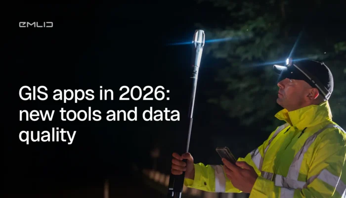
GIS apps are moving faster than ever, but data quality still starts at the GNSS level. We broke down what changed in 2026 and what actually matters for your data accuracy.
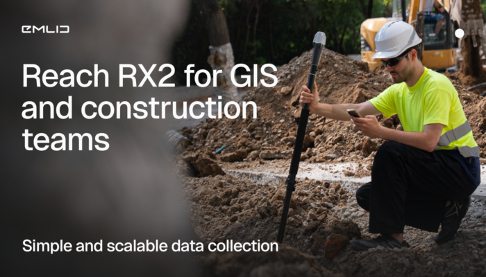
The Reach RX2 is a compact RTK rover with tilt compensation, built for GIS and construction teams. Simple to use, accurate, and ready for real job sites.
by Anna Moroz October 22, 2025 Tags: Construction, GIS, Reach RX2

How do you manage 670 garden plots when your base maps are outdated? GIS consultant Semir Kahrimanovic modernized workflows using Reach RS2 and ArcGIS Field Maps.
by Eric van Rees August 6, 2025 Tags: Customer story, GIS, Land Surveying

Environmental consultant Ryan Gay uses Emlid Reach RX and ArcGIS apps to streamline preconstruction assessments for oil and gas projects—ensuring accuracy, compliance, and time savings in every survey.
by Sam Pepple July 30, 2025 Tags: Customer story, GIS, Land Surveying

Accurate GNSS positioning empowers GIS professionals to collect data with precision, driving smarter decisions in urban planning, agriculture, and more. This article explores key applications of centimeter-level GPS and how it enhances GIS workflows across industries.
by Sam Pepple June 18, 2025 Tags: Agriculture, Construction, GIS, GNSS, Industries, Land Surveying

Accurate GNSS data is essential for reliable GIS results. Reach receivers bring centimeter-level precision to your GIS apps like ArcGIS, enhancing field data collection and powering smarter decisions. Learn how to integrate them and see real-world use cases in action.
by Natalia Botygina June 5, 2025 Tags: Agriculture, Construction, GIS, GNSS, Reach RS3, Reach RX
Get news about Emlid devices, features, events, new services, and discounts