
 BLOG
BLOG
The utility trench as-built survey checklist: what reviewers look for before they approve
An utility trench as-built survey is the permanent record of what got built and where: reviewers hold it to a strict standard before it becomes that record.
These surveys can be rejected for a short, predictable list of reasons. Passing review on the first submission comes down to matching the reviewer’s checklist before the crew leaves the site, whether the work is a sanitary sewer line or a dry utility conduit run. Our guide to GNSS for wet and dry utility work covers what sets each apart.
Most rejections trace back to one of these:
- The datum or coordinate system doesn’t match what the reviewing agency requires.
- The survey happened after backfill, so nothing can be verified.
- Required attributes or file formats are missing from the deliverable.
- The record reads like relabeled design plans instead of measured field data.
- No licensed surveyor has certified the submission.
This article covers the utility as-built survey requirements that actually determine a first pass. For the field workflow itself, see our guide to running an as-built survey with GNSS.
- Key takeaways
- What does a utility as-built survey actually need to include?
- Why do utility as-built surveys get rejected?
- Who reviews and accepts a utility as-built, and what are they checking?
- How do you submit a utility as-built that passes the first time?
- How does the right GNSS workflow reduce rejection risk?
- Frequently asked questions
Key takeaways
- Utility as-builts can be rejected for a small set of recurring reasons: datum mismatches, missing attributes, late capture, and missing certification.
- The reviewing agency or utility owner sets the required datum, coordinate system, and content list. Confirm it before you’re in the field, not after.
- A record that looks copied from design plans instead of measured on-site is one of the fastest ways to get sent back.
- Certification by a licensed surveyor is typically non-negotiable, even when field crews collect the data.
- The right GNSS workflow, tilt-compensated capture, on-site coordinate setup, and same-day sync, as with the Reach RS4 Pro and Emlid Flow, heads off most of these issues before the crew leaves the site.
What does a utility as-built survey actually need to include?
A utility as-built survey records the exact horizontal and vertical position of installed pipes, conduits, and structures as they sit in the ground, not as they appear on the design plan. The finished record has to let a reviewer confirm what was actually built and where.
Municipal as-built requirements vary by jurisdiction and utility owner, but most acceptance checklists ask for:
- Horizontal position of each utility segment.
- Invert and rim elevations.
- Pipe size and material.
- Depth of cover.
- Fittings, valves, and service laterals.
- Stationing along the alignment.
- The declared datum and coordinate system.
- Reference photos.
- Surveyor certification.
The City of Cumming, Georgia, for example, requires as-builts to be signed and sealed by a Georgia State Registered Professional, and it wants survey-grade electronic drawing files delivered to its geographic information system (GIS) department in CAD, DXF, or shapefile format, with coordinates on the Georgia West State Plane system.
Rutgers University’s utility standards go further on timing and format: survey must happen before backfill, drawings need sign-off from both a licensed New Jersey land surveyor and a licensed professional engineer, and no altered coordinate systems are accepted outside the New Jersey state plane system on NAD 83 and NAVD 88.
Confirm the exact list with the reviewing agency and the utility owner before the crew mobilizes. A checklist that satisfies one city’s utilities department won’t necessarily satisfy the next city’s review process.
Why do utility as-built surveys get rejected?
Every rejection reason below traces back to as-built survey acceptance criteria that show up repeatedly across municipal review comments and utility owner feedback.
Here’s what causes each one, and how to avoid it.
The datum or coordinate system doesn’t match what the agency requires
This is one of the most common rejection triggers, and one of the easiest to prevent. If the submission arrives in the wrong state plane zone, the wrong vertical datum, or an undocumented local grid, the reviewer can’t compare it against their base records.
The fix is simple: confirm the required horizontal and vertical datum before the survey starts, and declare it explicitly on every deliverable.
See our guide to coordinate systems in GIS and surveying if you need a refresher on how projected systems work.
The survey was done too late, after backfill
Once a trench is backfilled, the actual position of the pipe or conduit can no longer be verified. A survey run from memory, from marks on the surface, or from the contractor’s stakes isn’t an as-built. Reviewers reject these records as unreliable, regardless of how carefully they were prepared. The utility has to be measured while it’s still exposed.
Required attributes or deliverable formats are missing
A missing invert elevation, an unlabeled pipe material, or a lateral left off the drawing can stop a review on its own. The same goes for file formats: a CAD file in the wrong coordinate system, or a deliverable missing the GIS attributes the utility owner needs for their asset management system. One missing mandatory item is enough to trigger a resubmittal.
The record looks relabeled, not measured
Reviewers know the difference between a survey and a set of design plans with new labels. They check for measured points that don’t align with a plausible field pattern, and for data that matches the design file too closely to be independent measurement. An as-built has to reflect what a crew actually captured on site.
The as-built isn’t certified by a licensed surveyor
Most jurisdictions require a licensed surveyor’s seal and signature before an as-built is accepted. Even where a state licensing board permits a digital seal, the city, county, or utility office that actually reviews the submission can still require a wet stamp or embosser, or accept only a specific third-party-verified digital signature rather than a standard PDF signature block.
Confirm the certification and seal requirements for the specific jurisdiction before submission. Treat this as a requirement to plan around, not one to work around.
Who reviews and accepts a utility as-built, and what are they checking?
Two reviewers typically look at a utility as-built: the municipality or authority having jurisdiction (AHJ) through its public works department, and the utility owner. Downstream, a GIS or records team often pulls the accepted data into their asset management system, which is part of why attribute completeness matters as much as geometry.
The stakes go beyond a clean file. In many jurisdictions, bond release and, in some cases, the certificate of occupancy depend on an accepted as-built. A rejected submission doesn’t just cost a resubmittal cycle. It can hold up the project.
How do you submit a utility as-built that passes the first time?
Treat this as a pre-submission checklist:
- Confirm and declare the required datum and coordinate system before the crew mobilizes.
- Capture every utility feature before backfill.
- Verify each required attribute against the owner’s checklist before leaving the site.
- QA the deliverable formats: CAD projection, GIS attributes, file naming, all matched to what the reviewer asked for.
- Line up certification early so a licensed surveyor isn’t a bottleneck at the end.
Our guide to QA/QC workflows in construction covers how to build this kind of verification into a daily field routine.
How does the right GNSS workflow reduce rejection risk?
Every rejection cause above traces back to a decision made in the field: which datum gets set, when the crew captures each point, and how thoroughly the deliverable gets checked before submission. Reach RS4 Pro and Emlid Flow map onto those same decision points.
Accuracy rarely causes a rejection on its own, since municipal specs typically call for centimeter-level tolerances and RTK GNSS clears that bar by design. The RS4 Pro’s baseline RTK accuracy is 7 mm + 1 ppm horizontal and 14 mm + 1 ppm vertical.
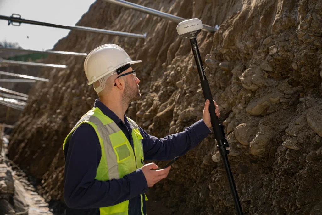
Late capture is harder to avoid when invert and trench-edge points require the crew to work at an angle, since standing directly over an open trench isn’t practical. IMU tilt compensation holds accuracy through that tilt: at 30°, the RS4 Pro still delivers 18 mm precision, without recalibration during the job.
Missing points and documentation often come down to access: a point behind a fence or across an active roadway gets skipped when it’s inconvenient to reach with a pole. Measuring from images instead, using the RS4 Pro’s dual Full HD cameras, covers that point, and the same photos serve as the reference documentation reviewers ask for.
Datum mismatches usually happen because the coordinate system gets set after the data is already collected, not before. Emlid Flow lets the crew set the required coordinate system before the first shot, which avoids that mismatch at the point it would otherwise occur.
A slow handoff to QA delays certification without adding any value to the record. Emlid Flow 360 syncs measured data to the office the same day, so the record can move into QA and certification while the trench is still fresh in everyone’s memory, rather than sitting in a logger for a week. Our guide to building a complete field-to-office survey workflow covers that handoff in more detail. Garney Construction’s water infrastructure crews run this same pattern on live utility sites.
Missing certification isn’t something a workflow change can fix. Field crews capture certification-ready data, and a licensed surveyor still certifies it wherever the jurisdiction requires a seal.
A utility as-built that passes review comes down to the same habits every time: confirm the datum, capture before backfill, verify the checklist, and line up certification early.
Want to see how this fits into a broader construction workflow?
Frequently asked questions
What is the difference between an as-built and a record drawing?
An as-built survey is the measured field data of what was actually constructed. A record drawing is the finished plan set produced from that data, usually in CAD. Reviewers expect the as-built to reflect real measurements taken in the field, not the original design plans relabeled after construction.
Can a contractor do a utility as-built survey, or does it need a licensed surveyor?
Field crews can capture the measured data, but many jurisdictions and contracts require a licensed land surveyor to supervise the work and certify the final deliverable. Confirm the local rules and contract requirements before submission. The certification step generally can’t be skipped, regardless of who runs the field survey.
What datum and coordinate system should a utility as-built be in?
It has to match the system the reviewing agency specifies, most commonly a state plane coordinate system on a defined horizontal and vertical datum, such as NAD 83 and NAVD 88. The exact requirement varies by jurisdiction, so confirm it against the agency’s own specification rather than assuming a default.
When does a utility as-built survey need to be done?
Before backfill, while the utility is still exposed. Once the line is covered, its exact position can no longer be verified, and the record becomes unreliable to reviewers. Coordinate the survey with the installation schedule so the crew is on site before the trench closes.
How accurate does a utility as-built survey need to be?
The required tolerance comes from the project specification or the reviewing agency, so check the stated horizontal and vertical accuracy before starting. RTK GNSS comfortably meets typical municipal tolerances, but confirm the specific figure in the spec rather than assuming a standard number applies.