
BLOG
Fyfe’s registered surveyors supervise a team of 40 field surveyors working on remote sites. With Emlid Flow 360, each point taken in the field reaches the office almost straight away, so they can check the work without driving hours to site.
by Ana Ramos October 12, 2026 Tags: Construction, Customer story, Emlid Flow 360, Reach RS4, Reach RS4 Pro
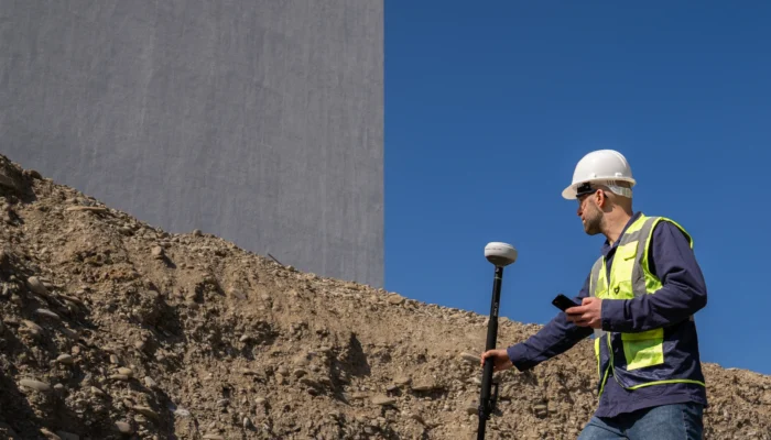
See where GNSS fits across a residential build, from land acquisition to final grade and warranty claims, and which phases still need a licensed professional.
by Natalia Botygina September 29, 2026 Tags: Construction, Reach RS4 Pro
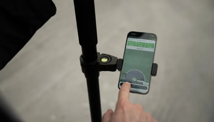
The engineer who built AR stakeout on the Reach RS4 Pro explains how it stays accurate, from the camera sensor to factory calibration.
by Ana Ramos September 24, 2026 Tags: Reach RS4 Pro
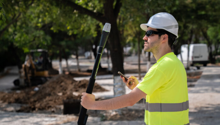
ASCE 38 defines four Quality Levels for documenting existing underground utilities, from existing records to physical exposure. This guide breaks down what each level means.
by Natalia Botygina September 1, 2026 Tags: Construction, GIS, GNSS, Reach RS4 Pro
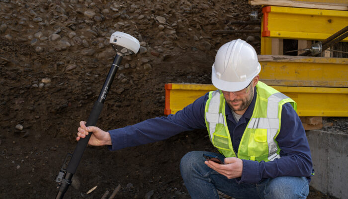
A short, predictable list of reasons gets most utility as-built surveys rejected. Here’s the checklist reviewers use, and how to pass on the first try.
by Ana Ramos August 19, 2026 Tags: Construction, Emlid Flow, Reach RS4 Pro
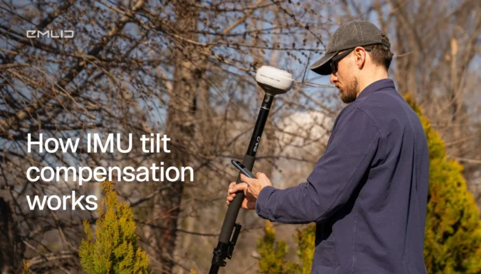
Tilt the pole, skip the bubble level, still get the right coordinate. Here’s how IMU tilt compensation works, what affects its accuracy, and when to use it in the field.
by Eric van Rees July 23, 2026 Tags: GNSS, Land Surveying, Reach RS3, Reach RS4, Reach RS4 Pro, Reach RX
On most projects, profit doesn’t vanish in one big loss. It leaks out in small moments: a measurement that’s off, a crew standing around, a quantity you can’t prove. Here’s where it happens and how GNSS helps you catch each one before it costs you.
by Ana Ramos June 23, 2026 Tags: Construction, Emlid Flow, Emlid Flow 360, GNSS, Reach RS3, Reach RS4, Reach RS4 Pro
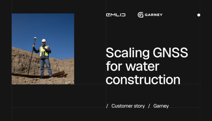
Garney Construction is rethinking field work across its US water and wastewater projects. Construction Technology Manager breaks down what’s changing: syncing the office and field, and doing fewer trips into the trench.
by Ana Ramos May 5, 2026 Tags: Construction, Customer story, Emlid Flow 360, Reach RS4 Pro, Reach RX2
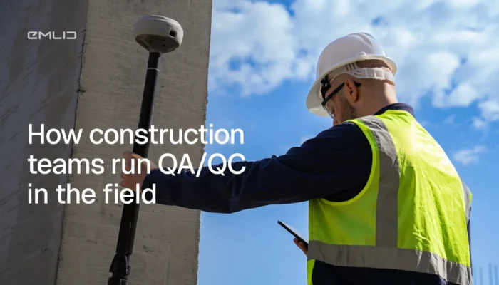
Catching errors early is what separates efficient construction projects from costly rework. This guide breaks down how field crews can take control of QA/QC workflows—and keep projects moving without delays.
by Natalia Botygina April 8, 2026 Tags: Construction, Emlid Flow, Emlid Flow 360, GNSS, Reach RS4, Reach RS4 Pro
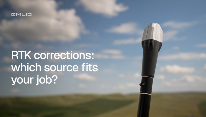
Choosing the right RTK correction delivery method affects your accuracy, reliability, and workflow. This guide breaks down radio, NTRIP, and CORS options to help you find the best setup for your field conditions.
by Natalia Botygina March 24, 2026 Tags: GNSS, Reach RS4, Reach RS4 Pro, RTK, Tutorials
Get news about Emlid devices, features, events, new services, and discounts