
BLOG
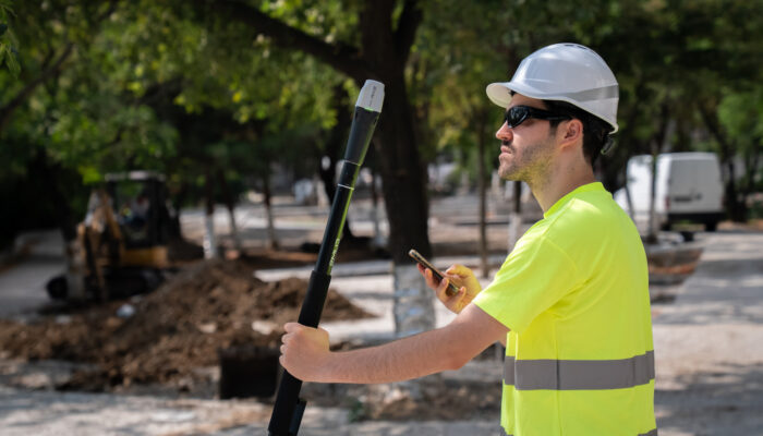
ASCE 38 defines four Quality Levels for documenting existing underground utilities, from existing records to physical exposure. This guide breaks down what each level means.
by Natalia Botygina September 1, 2026 Tags: Construction, GIS, GNSS, Reach RS4 Pro

Escambia County’s conservation team swapped tape measures and phone GPS for Emlid Reach receivers—boosting accuracy, saving time, and protecting wildlife.
by Sam Pepple September 29, 2025 Tags: Customer story, Environmental protection, GIS, GNSS, Reach RS2+, Reach RX
Get news about Emlid devices, features, events, new services, and discounts