
BLOG
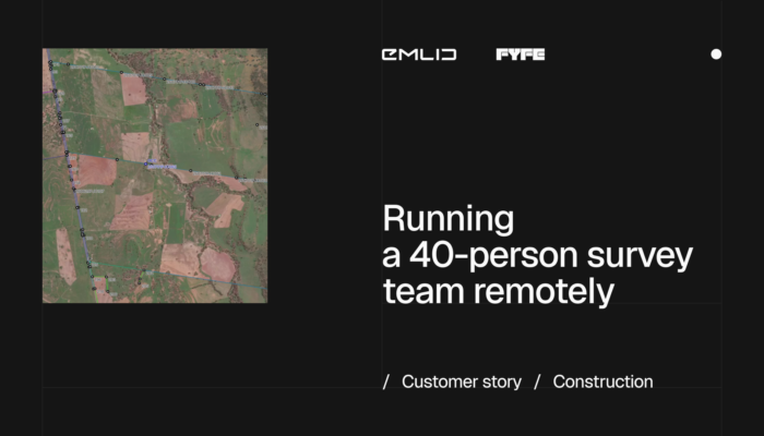
Fyfe’s registered surveyors supervise a team of 40 field surveyors working on remote sites. With Emlid Flow 360, each point taken in the field reaches the office almost straight away, so they can check the work without driving hours to site.
by Ana Ramos October 12, 2026 Tags: Construction, Customer story, Emlid Flow 360, Reach RS4, Reach RS4 Pro
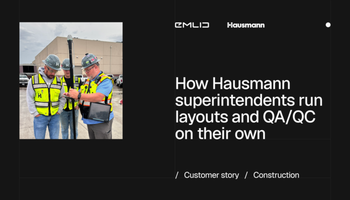
Hausmann Construction has 40–50 active projects and no surveyors on staff. See how its superintendents now handle layout themselves with the Reach RX2.
by Ana Ramos October 7, 2026 Tags: Construction, Customer story, Emlid Flow, Emlid Flow 360, Reach RX2
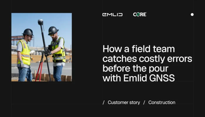
CORE Construction hands GNSS receivers straight to superintendents, letting them verify layouts on-site before problems turn into rework.
by Ana Ramos July 29, 2026 Tags: Construction, Customer story
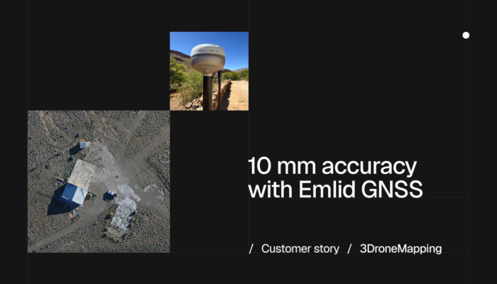
3DroneMapping’s BESSIE VTOL drone was built for the kind of missions most platforms can’t handle — vast, remote, and unforgiving terrain across Africa. To match that ambition, they needed a GNSS setup that wouldn’t let them down.
by Eric van Rees May 12, 2026 Tags: Customer story, GNSS
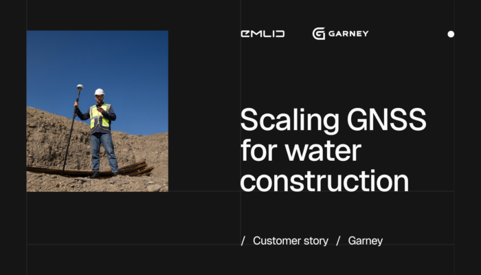
Garney Construction is rethinking field work across its US water and wastewater projects. Construction Technology Manager breaks down what’s changing: syncing the office and field, and doing fewer trips into the trench.
by Ana Ramos May 5, 2026 Tags: Construction, Customer story, Emlid Flow 360, Reach RS4 Pro, Reach RX2
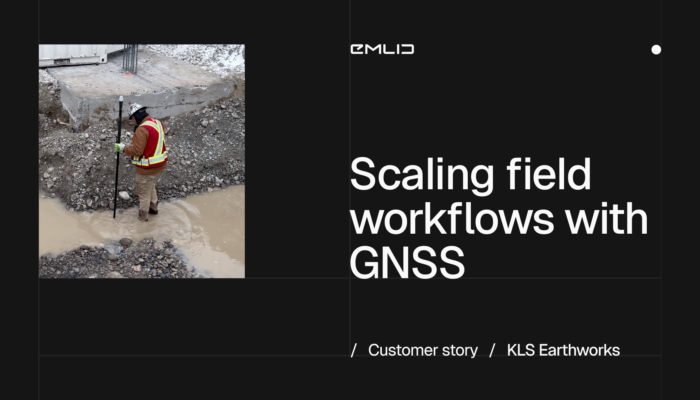
See how KLS Earthworks used GNSS for construction to scale to 60 active sites. By equipping supervisors with Emlid rovers, they eliminated layout delays and boosted field autonomy.
by Eric van Rees April 9, 2026 Tags: Construction, Customer story, Reach RX, Reach RX2

Vulcan Line Tools is transforming how utility data is captured in the field. Using the Azmyth on Foot iOS app paired with Emlid’s Reach RX GNSS receiver, their team reduced survey time per pole from 20 minutes to just 30 seconds.
by Anna Moroz October 13, 2025 Tags: Customer story, Industries, Land Surveying, Mobile mapping, Products, Reach RX

Escambia County’s conservation team swapped tape measures and phone GPS for Emlid Reach receivers—boosting accuracy, saving time, and protecting wildlife.
by Sam Pepple September 29, 2025 Tags: Customer story, Environmental protection, GIS, GNSS, Reach RS2+, Reach RX

How do you manage 670 garden plots when your base maps are outdated? GIS consultant Semir Kahrimanovic modernized workflows using Reach RS2 and ArcGIS Field Maps.
by Eric van Rees August 6, 2025 Tags: Customer story, GIS, Land Surveying

Environmental consultant Ryan Gay uses Emlid Reach RX and ArcGIS apps to streamline preconstruction assessments for oil and gas projects—ensuring accuracy, compliance, and time savings in every survey.
by Sam Pepple July 30, 2025 Tags: Customer story, GIS, Land Surveying
Get news about Emlid devices, features, events, new services, and discounts