BLOG

Keeping your GNSS receiver current isn’t just about the latest tech—it impacts field efficiency and integration with modern tools like drones and laser scanners. The right receiver is an investment in productivity, seamless workflows, and long-term project success.
by Anna Moroz August 27, 2025 Tags: GNSS, PPK, Reach RS3, RTK

When accuracy matters in drone surveying, the key question is: photogrammetry or LiDAR? This article breaks down their differences, ideal use cases, and why pairing them with an RTK base station ensures reliable, high-precision results.
by Hassan Alavi June 30, 2025 Tags: Drone Mapping, GNSS, Industries, PPK, RTK
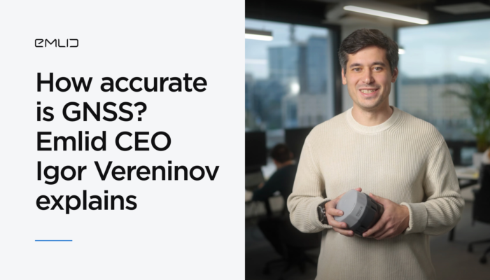
Igor Vereninov, CEO of Emlid, unpacks how high-precision GNSS has evolved from a niche to everyday technology, reveals what powers today’s compact receivers, and explores where GNSS is headed next.
by Anna Moroz May 29, 2025 Tags: GNSS, PPK, RTK
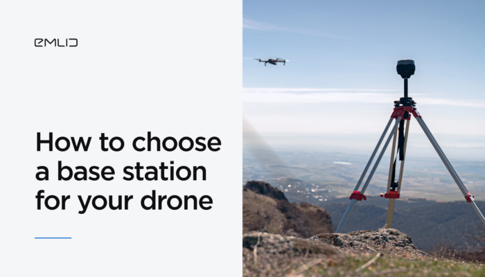
If you’re working in construction, mining, or infrastructure and aiming for centimeter-level accuracy, adding a GNSS base station to your RTK or PPK drone setup is essential. Emlid application engineer Kirill Pavlyuchuk shares expert tips on how to choose the right base station to power your high-precision mapping workflows.
by Kirill Pavlyuchuk April 30, 2025 Tags: Drone Mapping, PPK, Reach RS3, RTK
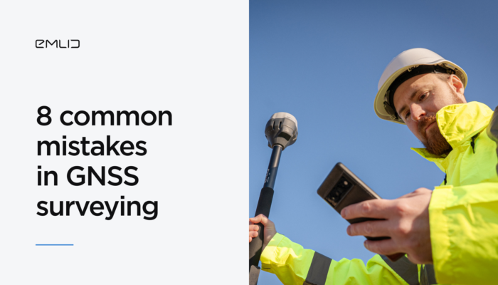
Modern GNSS surveying equipment goes a long way in helping you achieve high-accuracy data collection, but the human factor still plays a role. This article will walk you through eight GNSS surveying mistakes that can easily trip you up.
by Sam Pepple April 23, 2025 Tags: GNSS, PPK, RTK, Tutorials
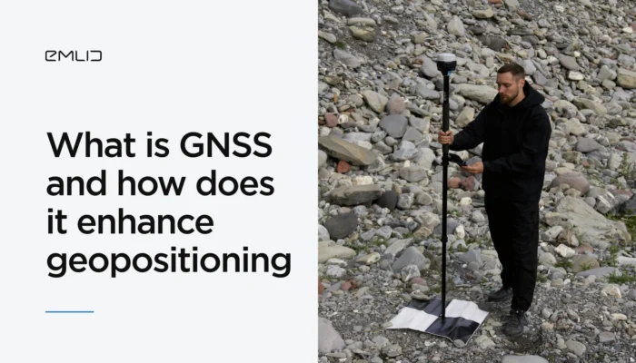
Wondering how to improve the precision of your mapping project with GNSS? Let’s explore what GNSS is and how it works to provide you with precise geopositioning data.
by Eric van Rees January 29, 2025 Tags: GNSS, PPK, RTK

In aerial mapping, your workflow mainly depends on the technology your drone employs—PPK (Post-Processing Kinematic) or RTK (Real-Time Kinematic). Understanding how each approach works will help you achieve accurate and reliable mapping results.
by Natalia Botygina December 10, 2024 Tags: Drone Mapping, GNSS, PPK, Reach RS3, RTK
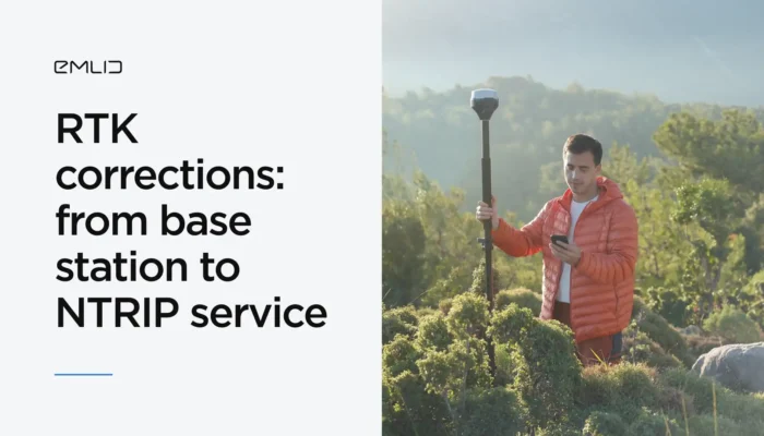
Learn two methods for obtaining RTK corrections for surveying workflows: using an NTRIP service or your own base station. This information will help you choose the best method for your application.
by Eric van Rees August 23, 2024 Tags: Emlid NTRIP Caster, Industries, Land Surveying, PPK, RTK
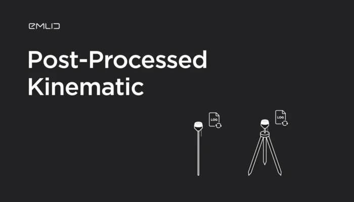
Brush up on the PPK basics! We prepared a new educational video explaining how Post-Processed Kinematic works and what are the features of this technique.
by Olga Utiugova March 23, 2021 Tags: PPK, Tutorials
Get news about Emlid devices, features, events, new services, and discounts