
BLOG
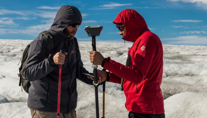
A set of Reach RS was recently used in a challenging remote sensing project in Iceland by researchers from the University of Latvia.
by Dmitriy Ershov November 6, 2018 Tags: Drone Mapping, Education, Reach RS/RS+
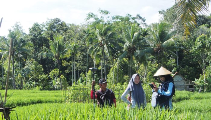
We have already written about Landmapp from the Netherlands helping to unlock land value in Ghana. Now they are helping the Indonesian government to find an efficient way to map the whole country. During the pilot stage of the project, Meridia (former Landmapp) will survey 4500 hectares in 5 weeks. This stage involves delivering land rights documentation to […]
by Dmitriy Ershov August 7, 2018 Tags: Land Surveying, Reach RS/RS+
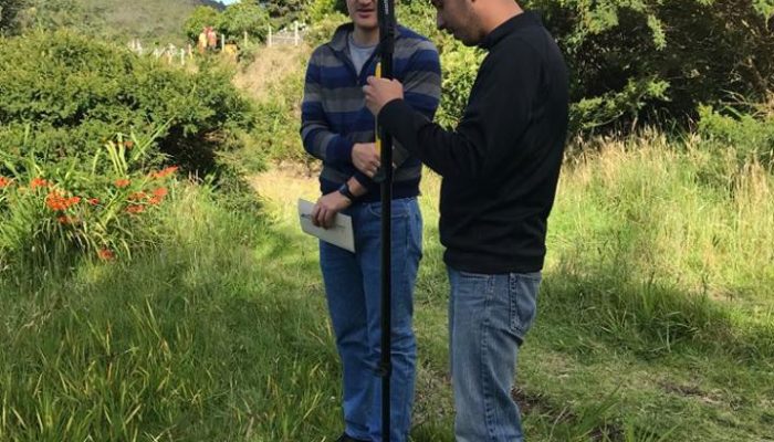
Colombian KiteMap uses Emlid Reach RS to set GCPs accurately and in a cost-effective way.
by Dmitriy Ershov May 24, 2018 Tags: Drone Mapping, Reach RS/RS+
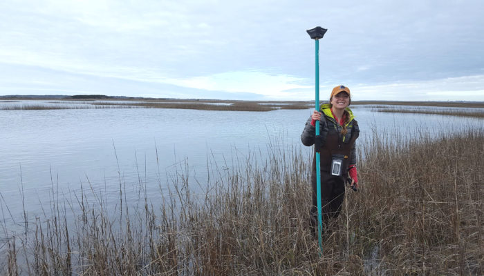
Researchers at the Duke University Marine Lab assessed and conserved local wetland and oyster habitats along the coast of North Carolina with the immense help of the Emlid Reach RS.
by Dmitriy Ershov May 7, 2018 Tags: Drone Mapping, Education, Reach RS/RS+

Read how Allesbeste team staked out trees positions with Reach RS at their new avocado orchard in South Africa
by Dmitriy Ershov April 3, 2018 Tags: Drone Mapping, Land Surveying, Reach RS/RS+
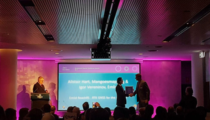
We are thrilled to announce that Emlid Reach RS recently received a “Highly Commended” at Queensland Spatial Excellence Award in Innovation and Commercialisation category!
by Dmitriy Ershov December 13, 2017 Tags: News
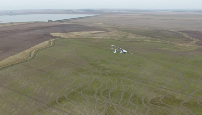
Brazilian ArnsTronic designs and manufactures UAVs and provides a complete crop monitoring plan to customers. To get the precise maps they equip a fleet with the centimeter-accurate Reach RTK and use Reach RS as a base station. The method saves a lot of time and allows to survey large areas where the conventional approach is unfeasible.
by Dmitriy Ershov October 11, 2017 Tags: Agriculture, Drone Mapping, Reach RS/RS+
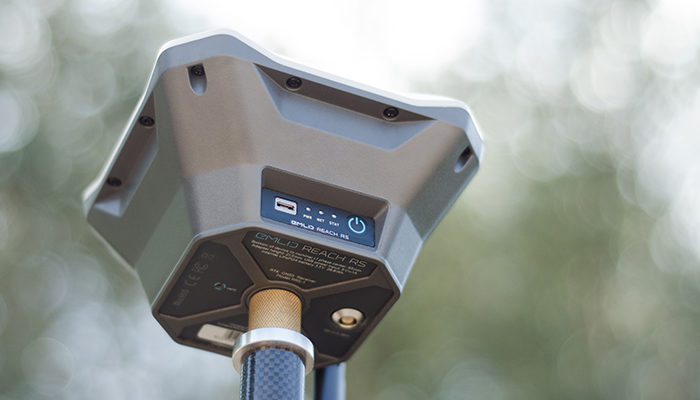
SurvCE starting from version 5.06 supports Reach. In this post, you’ll find the information on how to set up the data collector running SurvCE/SurvPC with Reach via Bluetooth.
by Dmitriy Ershov October 5, 2017 Tags: News, Reach RS/RS+
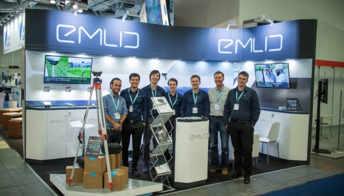
Last week we’ve exhibited at Intergeo 2017 and just recently returned from Berlin! It was an amazing show, thanks to everyone who visited our booth during the event! Reach RS was of great interest to hundreds of Intergeo participants and it was thrilling to see the warm reception of Emlid receiver by the geospatial community! […]
by Dmitriy Ershov October 4, 2017 Tags: Events
Using standalone GPS geotagging on drones may lead to significant deviations between processed maps and reality. Placing ground control points with well-known coordinates on site is crucial to achieve high accuracy of the final maps. Reach RS fits perfect for this kind of application and recently was used by DroneDeploy Team in a new study comparing how […]
by Dmitriy Ershov September 8, 2017 Tags: Drone Mapping, Reach RS/RS+
Get news about Emlid devices, features, events, new services, and discounts