BLOG

Accurate GNSS positioning empowers GIS professionals to collect data with precision, driving smarter decisions in urban planning, agriculture, and more. This article explores key applications of centimeter-level GPS and how it enhances GIS workflows across industries.
by Sam Pepple June 18, 2025 Tags: Agriculture, Construction, GIS, GNSS, Industries, Land Surveying

Accurate GNSS data is essential for reliable GIS results. Reach receivers bring centimeter-level precision to your GIS apps like ArcGIS, enhancing field data collection and powering smarter decisions. Learn how to integrate them and see real-world use cases in action.
by Natalia Botygina June 5, 2025 Tags: Agriculture, Construction, GIS, GNSS, Reach RS3, Reach RX
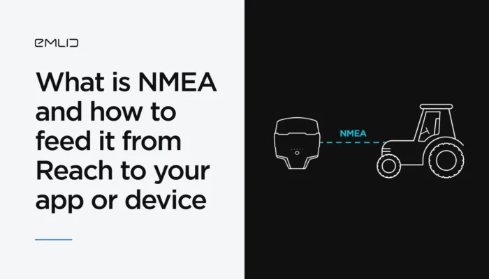
You’ve probably heard of the NMEA data format. We’ve explained what it means and how Reach receivers transmit data in NMEA format to GIS apps and various devices.
by Natalia Botygina January 23, 2025 Tags: Agriculture, Emlid Flow, GNSS, Land Surveying, Reach RS2+, Reach RS3, Reach RX, Tutorials

Reach helps farmers when it’s integrated with agricultural equipment or used for drone mapping. Check out cases of using Reach in precision agriculture.
by Valeriia Fursa May 31, 2024 Tags: Agriculture, Reach RS/RS+, Reach RS2

La precisión es la clave para una agricultura eficiente y equilibrada. El uso inteligente de los receptores GNSS permite reducir los costes de manera considerable, facilitar el flujo de trabajo y mejorar los resultados. Los receptores GNSS de Reach ayudan a nuestros usuarios de diversas maneras, desde la colocación de los GCP para los estudios […]
by Olga Utiugova September 2, 2021 Tags: Agriculture, Reach RS/RS+, Reach RS2
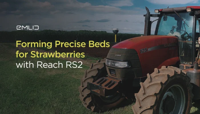
This is the story from Alistair Hart, our official Australian dealer. The project was a four-hectare strawberry farm that needed machinery guidance on a budget for creating precise strawberry beds.
by Kseniia Volodina July 28, 2020 Tags: Agriculture, Reach RS2
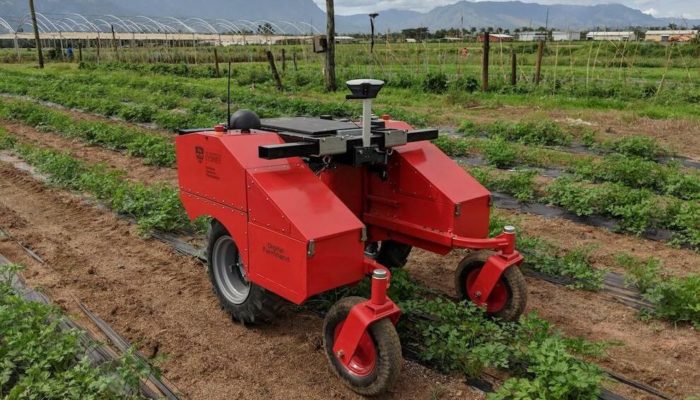
Agricultural robot powered with Reach RS+ aims to help smallholder farmers in the Pacific region to increase food production and maximize nutrition security.
by Dmitriy Ershov October 10, 2019 Tags: Agriculture, Reach RS/RS+
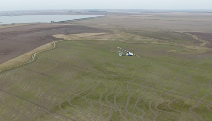
Brazilian ArnsTronic designs and manufactures UAVs and provides a complete crop monitoring plan to customers. To get the precise maps they equip a fleet with the centimeter-accurate Reach RTK and use Reach RS as a base station. The method saves a lot of time and allows to survey large areas where the conventional approach is unfeasible.
by Dmitriy Ershov October 11, 2017 Tags: Agriculture, Drone Mapping, Reach RS/RS+
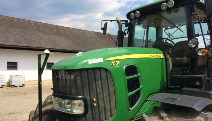
Our user Andreas Ortner utilizes Reach and Reach RS with an auto-steering system on John Deere tractors on his farm in Austria. He equipped the tractor fleet with Reach RTK Kit and an auto-steering system made from standard components. Such a set up doesn’t require complicated integration and may be used on any machinery.
by Dmitriy Ershov June 29, 2017 Tags: Agriculture, Reach RS/RS+
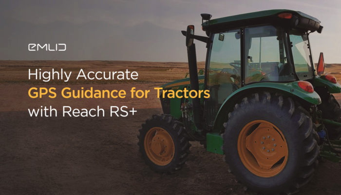
Our user Joseph paired Reach RS with one of the many Android smartphone/tablet GPS guidance applications that can deliver GPS precision to farming. The centimeter-accurate positioning reduces overlaps and missed zones and this helps to save time and increase yield potential.
by Dmitriy Ershov April 20, 2017 Tags: Agriculture, Reach RS/RS+
Get news about Emlid devices, features, events, new services, and discounts