BLOG

A GNSS receiver is just the beginning. Emlid delivers a full ecosystem that connects your tools, data, and team—from setting up a permanent base station to cloud syncing and post-processing.
by Anna Moroz September 10, 2025 Tags: Archaeology, Architecture, Emlid Flow, Emlid Flow 360, Emlid Studio, GNSS, Pix4D & Emlid Scanning kit
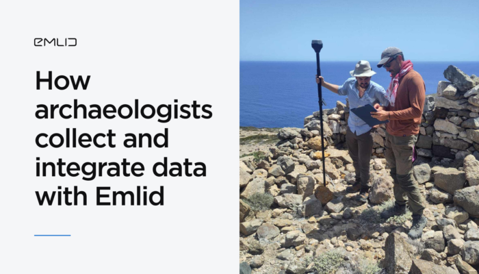
Archaeologists from the University of Copenhagen streamlined their workflow with the Emlid ecosystem, integrating multiple data layers with the Reach RS3 receivers and the Emlid Flow app.
by Anna Moroz March 20, 2025 Tags: Archaeology, Customer story, Emlid Flow, Emlid Studio, Industries, Pix4D & Emlid Scanning kit, Reach RS3
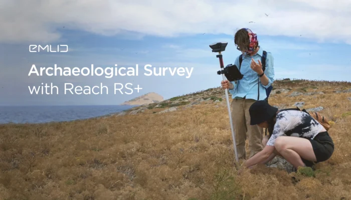
The researcher from the University of Toronto outlined why she started using Reach RS+ receivers for the archaeological survey. Read how Reach speeded up and simplified the work of her team.
by Olga Utiugova July 20, 2021 Tags: Archaeology, Reach RS/RS+

Read about Shetland Flyer Aerial Media building a 3D model of the mysterious Kame of Isbister with the help of Reach RS+ and a drone.
by Kseniia Volodina April 21, 2020 Tags: Archaeology, Drone Mapping, Reach RS/RS+
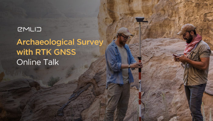
Check out Emlid’s online talk about RTK technologies in archaeological fieldwork. Two professional archaeologists sharing their best practices.
by Kseniia Volodina April 10, 2020 Tags: Archaeology, Reach RS/RS+
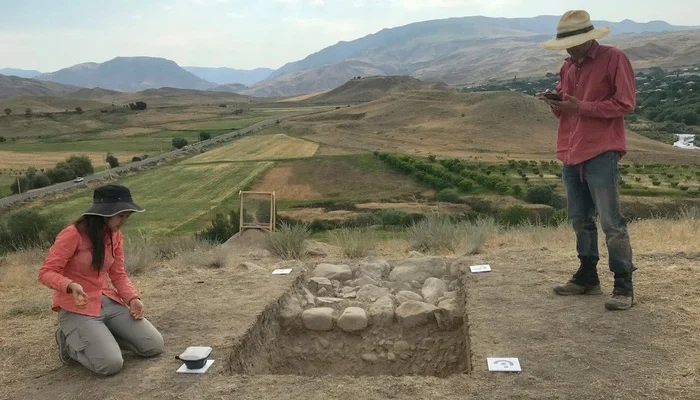
Check out archaeological survey conducted in Armenia. One of the goals of this research was the evaluation of usability and reliability of Reach for archaeological projects
by Dmitriy Ershov September 20, 2019 Tags: Archaeology, Reach RS/RS+

Today we tell a story behind the photo that won Emlid Photo Contest 2018: The photo was captured at the archaeological site called Mothia (or Mozia). The site is approximately 45-hectare large and is located a few kilometers west of Sicily. Mothia was settled in the 8th century BC and was surveyed with Reach RS […]
by Dmitriy Ershov November 21, 2018 Tags: Archaeology, Reach RS/RS+
Get news about Emlid devices, features, events, new services, and discounts