BLOG

Accurate GNSS data is essential for reliable GIS results. Reach receivers bring centimeter-level precision to your GIS apps like ArcGIS, enhancing field data collection and powering smarter decisions. Learn how to integrate them and see real-world use cases in action.
by Natalia Botygina June 5, 2025 Tags: Agriculture, Construction, GIS, GNSS, Reach RS3, Reach RX

Igor Vereninov, CEO of Emlid, unpacks how high-precision GNSS has evolved from a niche to everyday technology, reveals what powers today’s compact receivers, and explores where GNSS is headed next.
by Anna Moroz May 29, 2025 Tags: GNSS, PPK, RTK
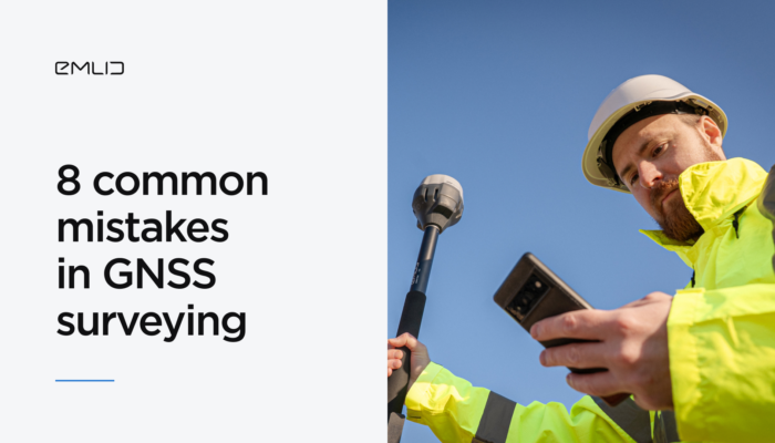
Modern GNSS surveying equipment goes a long way in helping you achieve high-accuracy data collection, but the human factor still plays a role. This article will walk you through eight GNSS surveying mistakes that can easily trip you up.
by Sam Pepple April 23, 2025 Tags: GNSS, PPK, RTK, Tutorials
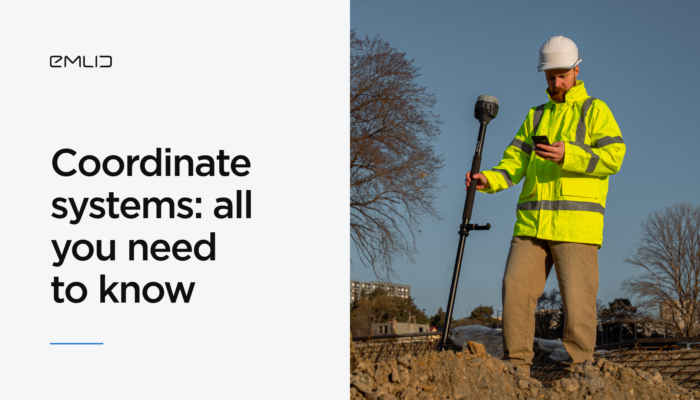
Mismatched coordinate systems between rover, base, or NTRIP service are a common source of errors in surveying, so understanding how geographic and projected systems work together is essential.
by Sam Pepple April 8, 2025 Tags: Emlid Flow, GNSS, Tutorials
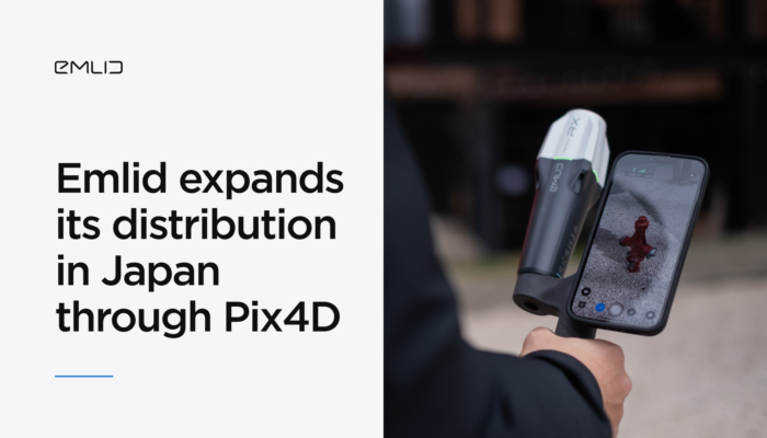
Reach GNSS receivers are now available in Japan—with local pricing, fast delivery, and expert support through Pix4D’s reseller network.
by Anna Moroz March 14, 2025 Tags: GNSS, Pix4D & Emlid Scanning kit, Reach RX
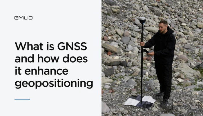
Wondering how to improve the precision of your mapping project with GNSS? Let’s explore what GNSS is and how it works to provide you with precise geopositioning data.
by Eric van Rees January 29, 2025 Tags: GNSS, PPK, RTK
You’ve probably heard of the NMEA data format. We’ve explained what it means and how Reach receivers transmit data in NMEA format to GIS apps and various devices.
by Natalia Botygina January 23, 2025 Tags: Agriculture, Emlid Flow, GNSS, Land Surveying, Reach RS2+, Reach RS3, Reach RX, Tutorials
If you work in GIS, chances are you’re already using ArcGIS Field Maps. In this article, we’ll explain why Reach RX is the perfect choice for GIS professionals and how it integrates effortlessly with ArcGIS Field Maps for accurate survey results.
by Anna Moroz January 17, 2025 Tags: GNSS, Reach RX

In aerial mapping, your workflow mainly depends on the technology your drone employs—PPK (Post-Processing Kinematic) or RTK (Real-Time Kinematic). Understanding how each approach works will help you achieve accurate and reliable mapping results.
by Natalia Botygina December 10, 2024 Tags: Drone Mapping, GNSS, PPK, Reach RS3, RTK
Accuracy of your projects starts with understanding the technology that makes it possible. In this article, we’ll dive into GNSS, how GPS fits into the picture, and why GNSS is a game changer for surveyors.
by Natalia Botygina September 10, 2024 Tags: GNSS, Reach RS3
Get news about Emlid devices, features, events, new services, and discounts