BLOG

A GNSS receiver is just the beginning. Emlid delivers a full ecosystem that connects your tools, data, and team—from setting up a permanent base station to cloud syncing and post-processing.
by Anna Moroz September 10, 2025 Tags: Archaeology, Architecture, Emlid Flow, Emlid Flow 360, Emlid Studio, GNSS, Pix4D & Emlid Scanning kit
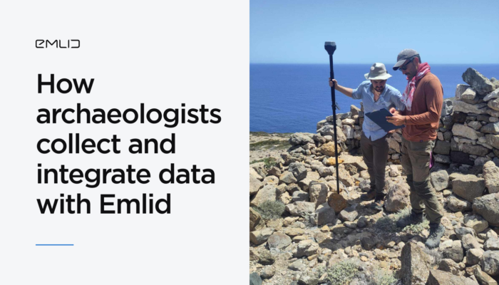
Archaeologists from the University of Copenhagen streamlined their workflow with the Emlid ecosystem, integrating multiple data layers with the Reach RS3 receivers and the Emlid Flow app.
by Anna Moroz March 20, 2025 Tags: Archaeology, Customer story, Emlid Flow, Emlid Studio, Industries, Pix4D & Emlid Scanning kit, Reach RS3
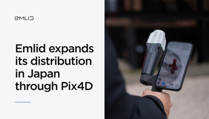
Reach GNSS receivers are now available in Japan—with local pricing, fast delivery, and expert support through Pix4D’s reseller network.
by Anna Moroz March 14, 2025 Tags: GNSS, Pix4D & Emlid Scanning kit, Reach RX
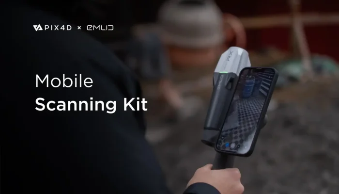
Meet the Pix4D & Emlid Scanning kit that is designed to quickly capture accurate digital models when documenting trenches and as-builts, performing volumetric measurements, and enriching aerial data with terrestrial scans.
by Olga Utiugova May 2, 2024 Tags: News, Pix4D & Emlid Scanning kit, Reach RX
Get news about Emlid devices, features, events, new services, and discounts