BLOG
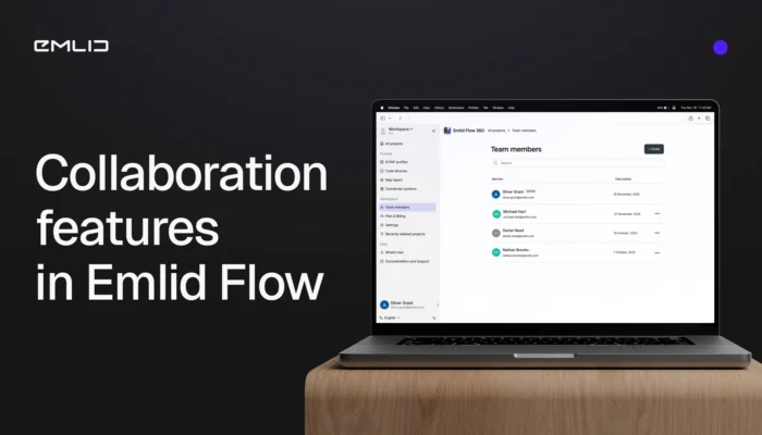
Meet the new collaboration tools in Emlid Flow and Flow 360 to bring your crew into one seamless workspace. The teamwork is available in the Free and Pro (formerly Survey) plans.
by Olga Utiugova December 4, 2025 Tags: Emlid Flow, Emlid Flow 360, News

A GNSS receiver is just the beginning. Emlid delivers a full ecosystem that connects your tools, data, and team—from setting up a permanent base station to cloud syncing and post-processing.
by Anna Moroz September 10, 2025 Tags: Archaeology, Architecture, Emlid Flow, Emlid Flow 360, Emlid Studio, GNSS, Pix4D & Emlid Scanning kit
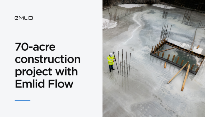
Discover how ADM Geomatics used the Emlid Flow site survey app to streamline every stage of a multi-building development from topographic survey and clash detection to final as-built verification, with precise tools and real-time collaboration.
by Natalia Botygina May 12, 2025 Tags: Construction, Emlid Flow, Emlid Flow 360
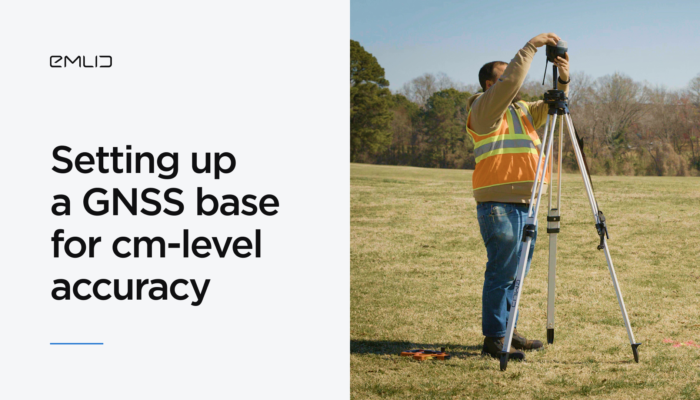
A correctly set-up base station is essential for accurate GNSS surveys in RTK. Since your rover’s coordinates are only as accurate as the base’s placement, any shift in the base will directly affect the rover’s measurements. Learn the key steps for setting up a base.
by Natalia Botygina April 15, 2025 Tags: Emlid Flow, Industries, Land Surveying, Reach RS3, RTK, Tutorials
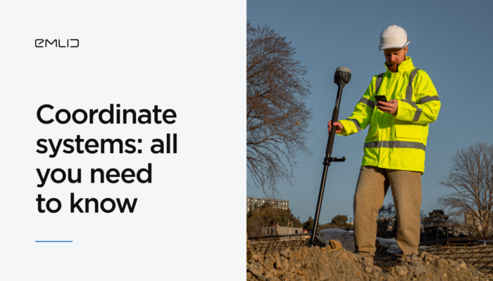
Mismatched coordinate systems between rover, base, or NTRIP service are a common source of errors in surveying, so understanding how geographic and projected systems work together is essential.
by Sam Pepple April 8, 2025 Tags: Emlid Flow, GNSS, Tutorials
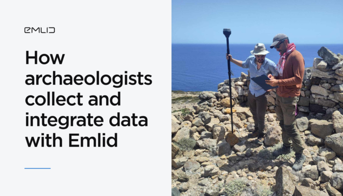
Archaeologists from the University of Copenhagen streamlined their workflow with the Emlid ecosystem, integrating multiple data layers with the Reach RS3 receivers and the Emlid Flow app.
by Anna Moroz March 20, 2025 Tags: Archaeology, Customer story, Emlid Flow, Emlid Studio, Industries, Pix4D & Emlid Scanning kit, Reach RS3
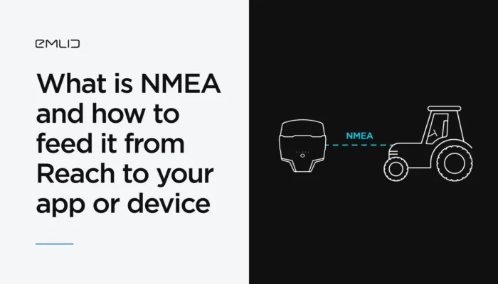
You’ve probably heard of the NMEA data format. We’ve explained what it means and how Reach receivers transmit data in NMEA format to GIS apps and various devices.
by Natalia Botygina January 23, 2025 Tags: Agriculture, Emlid Flow, GNSS, Land Surveying, Reach RS2+, Reach RS3, Reach RX, Tutorials
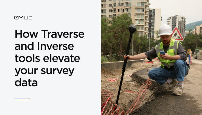
Discover how new features in Emlid Flow and Emlid Flow 360 can save time and increase accuracy of your projects. Using Traverse and Inverse tools, you can quickly validate data, create new points, and adjust for field conditions.
by Natalia Botygina October 28, 2024 Tags: Emlid Flow
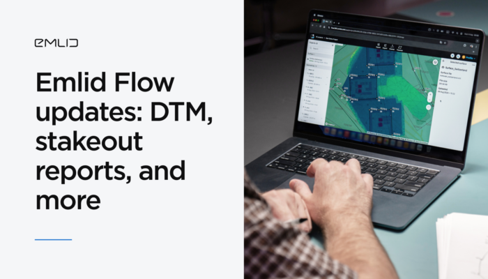
With the latest Emlid Flow and Emlid Flow 360 updates, you can perform a range of new jobs in land surveying and construction, including earthworks, topographic, and as-built surveys. Check out our brief overview, not to miss a thing.
by Anna Moroz September 20, 2024 Tags: Emlid Flow, News
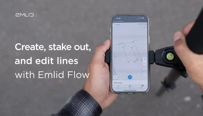
Explore how the Emlid Flow app allows you to create, stake out, and edit lines for your survey projects, and export or import them in CAD and similar software.
by Natalia Botygina February 16, 2024 Tags: Emlid Flow, Tutorials
Get news about Emlid devices, features, events, new services, and discounts