
BLOG

Emlid RTK GNSS receivers were recently used to carry out training and conduct UAV-based research in the Democratic Republic of the Congo (DRC).
by Dmitriy Ershov February 28, 2019 Tags: Drone Mapping, Reach RS/RS+
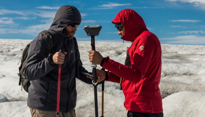
A set of Reach RS was recently used in a challenging remote sensing project in Iceland by researchers from the University of Latvia.
by Dmitriy Ershov November 6, 2018 Tags: Drone Mapping, Education, Reach RS/RS+
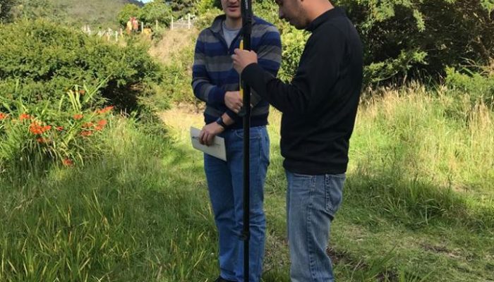
Colombian KiteMap uses Emlid Reach RS to set GCPs accurately and in a cost-effective way.
by Dmitriy Ershov May 24, 2018 Tags: Drone Mapping, Reach RS/RS+
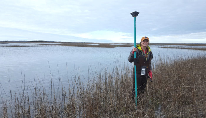
Researchers at the Duke University Marine Lab assessed and conserved local wetland and oyster habitats along the coast of North Carolina with the immense help of the Emlid Reach RS.
by Dmitriy Ershov May 7, 2018 Tags: Drone Mapping, Education, Reach RS/RS+

Read how Allesbeste team staked out trees positions with Reach RS at their new avocado orchard in South Africa
by Dmitriy Ershov April 3, 2018 Tags: Drone Mapping, Land Surveying, Reach RS/RS+
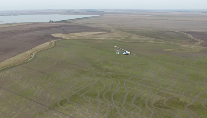
Brazilian ArnsTronic designs and manufactures UAVs and provides a complete crop monitoring plan to customers. To get the precise maps they equip a fleet with the centimeter-accurate Reach RTK and use Reach RS as a base station. The method saves a lot of time and allows to survey large areas where the conventional approach is unfeasible.
by Dmitriy Ershov October 11, 2017 Tags: Agriculture, Drone Mapping, Reach RS/RS+
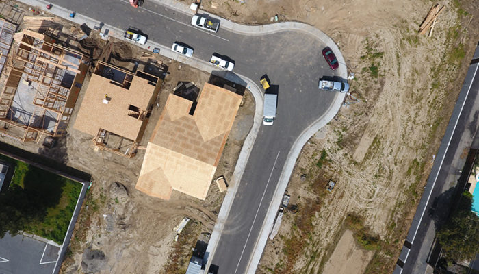
Using standalone GPS geotagging on drones may lead to significant deviations between processed maps and reality. Placing ground control points with well-known coordinates on site is crucial to achieve high accuracy of the final maps. Reach RS fits perfect for this kind of application and recently was used by DroneDeploy Team in a new study comparing how […]
by Dmitriy Ershov September 8, 2017 Tags: Drone Mapping, Reach RS/RS+
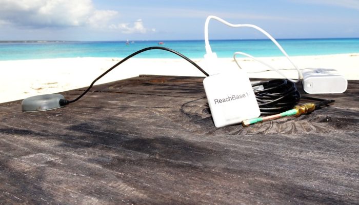
3DroneMapping is offering mapping services all over the Africa and recently had the privilege of mapping a tiny private island in the Indian ocean just 9 km off the Zanzibar coast. Luke Wijnberg, surveyor and CEO of 3DroneMapping shared a great story about the resort and its mapping with the Reach modules. The tiny (15ha) island is […]
by Dmitriy Ershov December 21, 2016 Tags: Drone Mapping, Reach M+
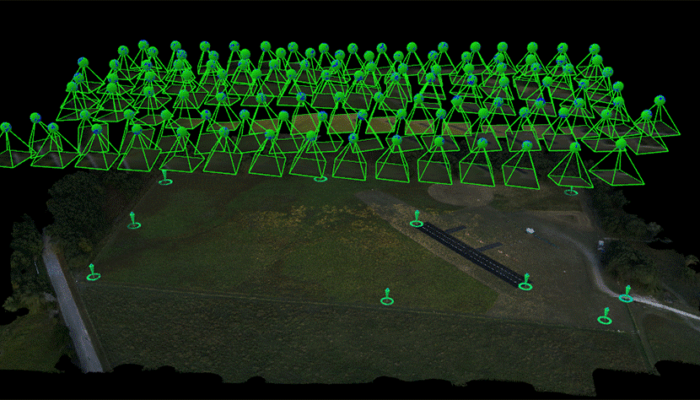
Tuffwing, a manufacturer of affordable aerial mapping systems recently performed integration of Emlid Reach RTK to enable making precision maps without use of ground control points. The system was benchmarked by comparing direct georeferenced model with a set of GCPs, used solely for error detection purposes. Achieved lateral RMS error is just 4cm according to […]
by Dmitriy Ershov October 28, 2016 Tags: Drone Mapping, Reach M+
Get news about Emlid devices, features, events, new services, and discounts