BLOG
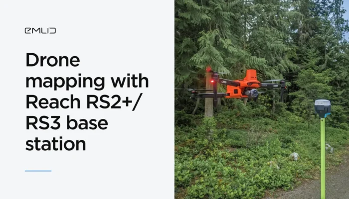
Check out our guide on how to set up Reach RS2 / RS2+ as a base for the Autel Enterprise drone. And see how Emlid user perform drone mapping with Reach RS2 and the Autel EVO II Enterprise.
by Olga Utiugova June 19, 2024 Tags: Drone Mapping, Reach RS2, Reach RS2+
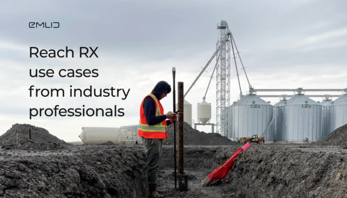
Check out the first-hand experience of industry professionals with the Reach RX in construction and drone mapping.
by Natalia Botygina May 30, 2024 Tags: Construction, Drone Mapping, Reach RX
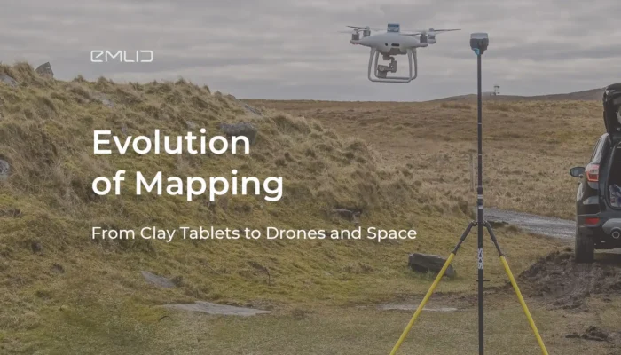
A detailed article on the development of mapping technology is out! Check it to get to know the milestones before the GNSS receivers were used in modern mapping.
by Emlid May 20, 2024 Tags: Drone Mapping, Land Surveying

When it comes to drone surveying, there are two main workflows to consider: Real-Time Kinematic (RTK) and Post-Processing Kinematic (PPK). Both methods utilize a GNSS base station and correction data to improve the accuracy of a drone survey. But how do you decide between RTK vs PPK for drone mapping? What is the difference […]
by Olga Utiugova September 4, 2023 Tags: Drone Mapping, Tutorials
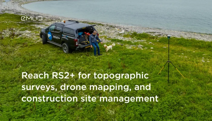
The first Reach RS2+ users shared how they implemented the receiver into an architect’s daily routine, construction site management and used it as a base for drones.
by Anna Gordeichuk October 6, 2022 Tags: Construction, Drone Mapping, Land Surveying, Reach RS2+
Our user performed an aerial survey in areas with unavailable connectivity. Read how he got a stable Internet connection using Starlink.
by Anna Gordeichuk July 7, 2022 Tags: Drone Mapping

Watch the new Emlid online talk with a proficient drone pilot! You’ll find lots of tips for PPK and RTK mapping with Reach RS2 and DJI P4RTK.
by Olga Utiugova May 17, 2021 Tags: Drone Mapping, Reach RS2
If your are getting started with drone mapping, check out our article on what factors affect data accuracy: from mission parameters to placing GCPs.
by Olga Utiugova April 29, 2021 Tags: Drone Mapping, Reach RS/RS+, Reach RS2
A complete guide on PPK mapping with Reach is out! We’ve gathered manuals on setting up Reach UAV kit, geotagging photos, and creating a map with Pix4Dmapper.
by Olga Utiugova February 26, 2021 Tags: Drone Mapping, Reach M+, Reach M2, Reach RS/RS+, Reach RS2, Tutorials
Watch our new video tutorial for drone pilots. It shows how to connect Reach RS2 base station to Phantom 4 RTK via Emlid Caster.
by Olga Utiugova February 24, 2021 Tags: Drone Mapping, Emlid NTRIP Caster, Reach RS2, Tutorials
Get news about Emlid devices, features, events, new services, and discounts