BLOG
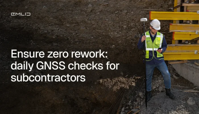
More subcontractors are picking up RTK GNSS receivers and doing positioning work in-house. Not to replace their surveyor—but to stop depending on them for every routine check. Here’s what that looks like across five trades.
by Ana Ramos March 19, 2026 Tags: Construction, Emlid Flow, GNSS, Reach RS4 Pro, Reach RX2
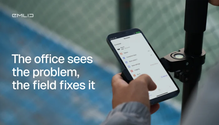
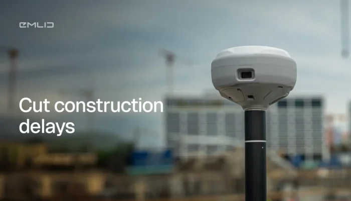
Construction teams often lose hours driving to site for questions that take minutes to answer. See how Emlid Flow and Flow 360 connect field crews and office teams in real time to reduce site visits and speed up decisions.
by Ana Ramos March 16, 2026 Tags: Construction, Emlid Flow, Emlid Flow 360, GNSS
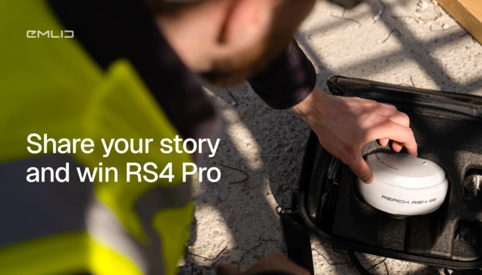
We’re giving away a Reach RS4 Pro, and all we ask in return is your real business story.
Post on LinkedIn between March 10 and 30 and share how Emlid helped your business with faster fieldwork, lower costs, better results, or more.
by Olga Utiugova March 10, 2026 Tags: News
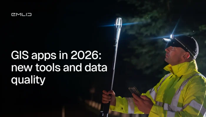
GIS apps are moving faster than ever, but data quality still starts at the GNSS level. We broke down what changed in 2026 and what actually matters for your data accuracy.

Survey data shouldn’t live only on a screen. With AR stakeout and visual data capture on the Reach RS4 Pro, you see design points in the real world and measure hard-to-reach targets.
by Natalia Botygina February 26, 2026 Tags: Construction, Industries, Land Surveying, Products, Reach RS4 Pro
Waiting for surveyors slows jobs down. Learn the GNSS workflows your crew can run in-house to verify work, catch errors early, and keep machines moving without losing accuracy.
by Ana Ramos February 9, 2026 Tags: Construction, Emlid Flow, GNSS, Industries, Reach RS4, Reach RS4 Pro, Reach RX2

Long-term projects need long-term accuracy. This article explains when to use a permanent GNSS base station, how it works, and how to set it up for reliable positioning over days, weeks, or years.
by Anna Moroz January 21, 2026 Tags: GNSS, Products, Reach RS2+, Reach RS3, Reach RS4, Tutorials
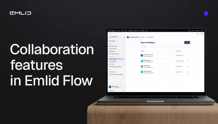
Meet the new collaboration tools in Emlid Flow and Flow 360 to bring your crew into one seamless workspace. The teamwork is available in the Free and Pro (formerly Survey) plans.
by Olga Utiugova December 4, 2025 Tags: Emlid Flow, Emlid Flow 360, News

This year, Black Friday at Emlid turned into something better: a full Cyber Week of discounts on Reach devices. From December 1 to 8, get 10% off previous-gen Reach models.

Every survey team has a different idea of the perfect setup. Let’s compare the Reach RS4, Reach RS4 Pro, Reach RX2, and Reach RS3 receivers—what’s new, what they share, and how to choose the one that fits your workflow best.
by Natalia Botygina November 20, 2025 Tags: GNSS, Reach RS3, Reach RS4, Reach RS4 Pro, Reach RX2, RTK, Tutorials
Get news about Emlid devices, features, events, new services, and discounts