BLOG
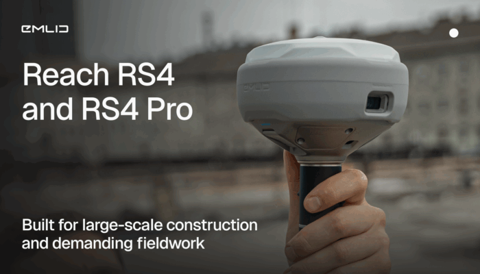
Meet the new Reach RS4 and RS4 Pro: high-performance GNSS receivers designed for demanding construction projects.
by Anna Moroz October 29, 2025 Tags: Construction, GNSS, Reach RS4, Reach RS4 Pro
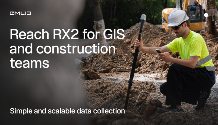
The Reach RX2 is a compact RTK rover with tilt compensation, built for GIS and construction teams. Simple to use, accurate, and ready for real job sites.
by Anna Moroz October 22, 2025 Tags: Construction, GIS, Reach RX2

Vulcan Line Tools is transforming how utility data is captured in the field. Using the Azmyth on Foot iOS app paired with Emlid’s Reach RX GNSS receiver, their team reduced survey time per pole from 20 minutes to just 30 seconds.
by Anna Moroz October 13, 2025 Tags: Customer story, Industries, Land Surveying, Mobile mapping, Products, Reach RX
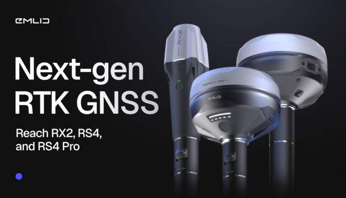
The future of RTK GNSS isn’t about complexity—it’s about simplicity, which translates into confidence. It’s about using gear that just works, everywhere, for everyone. Taking that philosophy further, we introduce the new generation of Emlid GNSS receivers.
by Anna Moroz October 6, 2025 Tags: GNSS, News, Reach RS4, Reach RS4 Pro, Reach RX2, RTK

Escambia County’s conservation team swapped tape measures and phone GPS for Emlid Reach receivers—boosting accuracy, saving time, and protecting wildlife.
by Sam Pepple September 29, 2025 Tags: Customer story, Environmental protection, GIS, GNSS, Reach RS2+, Reach RX

A GNSS receiver is just the beginning. Emlid delivers a full ecosystem that connects your tools, data, and team—from setting up a permanent base station to cloud syncing and post-processing.
by Anna Moroz September 10, 2025 Tags: Archaeology, Architecture, Emlid Flow, Emlid Flow 360, Emlid Studio, GNSS, Pix4D & Emlid Scanning kit

Keeping your GNSS receiver current isn’t just about the latest tech—it impacts field efficiency and integration with modern tools like drones and laser scanners. The right receiver is an investment in productivity, seamless workflows, and long-term project success.
by Anna Moroz August 27, 2025 Tags: GNSS, PPK, Reach RS3, RTK

How do you manage 670 garden plots when your base maps are outdated? GIS consultant Semir Kahrimanovic modernized workflows using Reach RS2 and ArcGIS Field Maps.
by Eric van Rees August 6, 2025 Tags: Customer story, GIS, Land Surveying

Environmental consultant Ryan Gay uses Emlid Reach RX and ArcGIS apps to streamline preconstruction assessments for oil and gas projects—ensuring accuracy, compliance, and time savings in every survey.
by Sam Pepple July 30, 2025 Tags: Customer story, GIS, Land Surveying

What does it really take to launch your own surveying company? Beyond tools and technical skills, success hinges on strategy, confidence, and continuous learning. We spoke with Stefan Niculescu, a land surveyor in Scotland, and Jon Moraglia, a drone service provider from New Jersey, who both made the leap to independence.
by Anna Moroz July 10, 2025 Tags: Drone Mapping, Land Surveying, Reach RS2, Reach RS3
Get news about Emlid devices, features, events, new services, and discounts