
BLOG
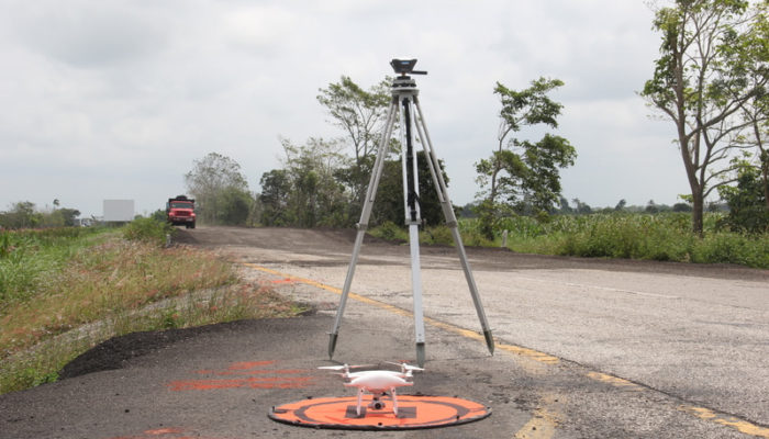
In March 2019, Mexican CoatzaDrone conducted a topographic survey of the “Las Choapas-Cárdenas” road section in Tabasco, Mexico using Reach RS+. The goal was to create a detailed 3D model and an orthomosaic as part of the road maintenance project.
by Dmitriy Ershov June 13, 2019 Tags: Construction, Drone Mapping, Land Surveying, Reach RS/RS+
Get news about Emlid devices, features, events, new services, and discounts