BLOG
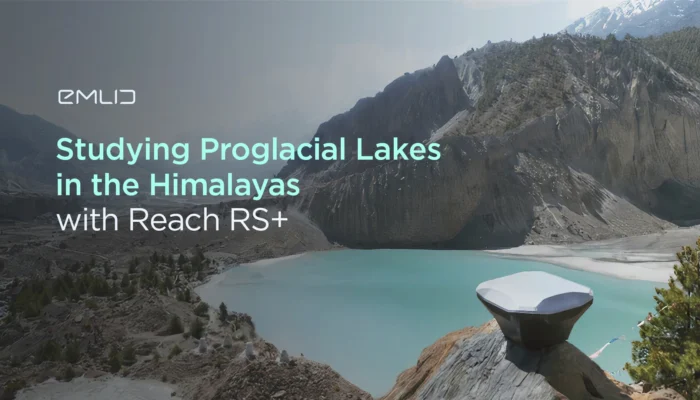
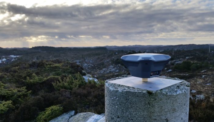
Compact and rugged, Reach receivers can unlock centimeter precision even in the difficult terrain. A team of scientists went to the Himalayas to study proglacial lakes, causing catastrophic floods.
by Kseniia Volodina August 27, 2020 Tags: Drone Mapping, Education, Reach RS/RS+
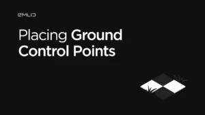
This video is an ultimate guide for GCPs. Learn how to place them correctly, how to survey them, and how to improve the accuracy of your final project.
by Kseniia Volodina August 4, 2020 Tags: Reach RS/RS+, Reach RS2, Tutorials

Read about our user Brent Wiebe building a 3D model of a new school in Canada. With the help of Reach RS+, he incorporated the new building in the existing architectural group.
by Kseniia Volodina May 6, 2020 Tags: Architecture, Drone Mapping, Reach RS/RS+
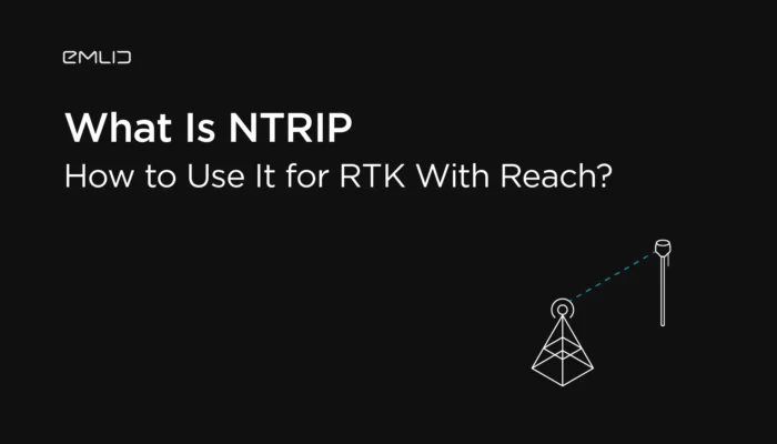
NTRIP is a very handful technology for land surveyors. It allows you to perform RTK with only one rover. Learn more about NTRIP in the new article.
by Kseniia Volodina April 28, 2020 Tags: Emlid NTRIP Caster, Reach RS/RS+, Reach RS2, Tutorials
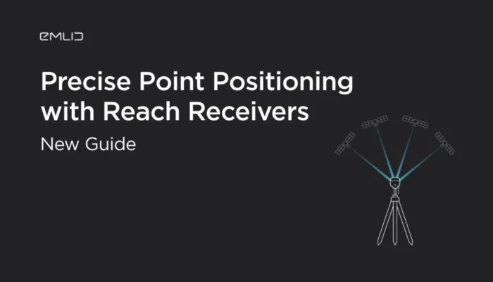
We prepared a tutorial on how to perform Precise Point Positioning with Emlid receivers.
by Kseniia Volodina April 23, 2020 Tags: Reach RS/RS+, Reach RS2, Tutorials
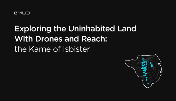
Read about Shetland Flyer Aerial Media building a 3D model of the mysterious Kame of Isbister with the help of Reach RS+ and a drone.
by Kseniia Volodina April 21, 2020 Tags: Archaeology, Drone Mapping, Reach RS/RS+
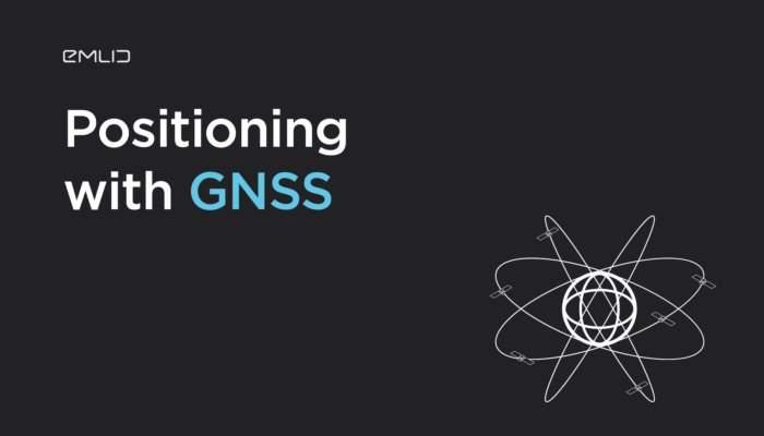
Learn more about how GNSS receivers determine your location on Earth. A detailed explanation in new Emlid video tutorial.
by Kseniia Volodina April 13, 2020 Tags: Reach RS/RS+, Reach RS2, Tutorials
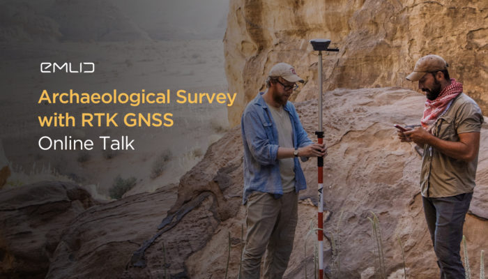
Check out Emlid’s online talk about RTK technologies in archaeological fieldwork. Two professional archaeologists sharing their best practices.
by Kseniia Volodina April 10, 2020 Tags: Archaeology, Reach RS/RS+
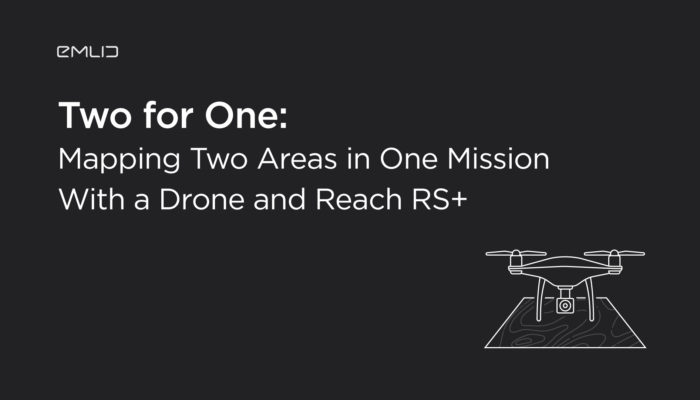
3D mapping helps assess a place’s potential. Topodrone SA created a 3D model of two areas at nearby Lake Geneva with the help of Reach RS+ and drone. Read more about this case in our article.
by Kseniia Volodina February 25, 2020 Tags: Drone Mapping, Reach RS/RS+
Survey marks are certain points with known geographical coordinates. Usually, these points are marked with metal disks. Learn how to use them in your data collection to improve its accuracy.
by Dmitriy Ershov January 15, 2020 Tags: Reach RS/RS+, Reach RS2, Tutorials
Get news about Emlid devices, features, events, new services, and discounts