BLOG
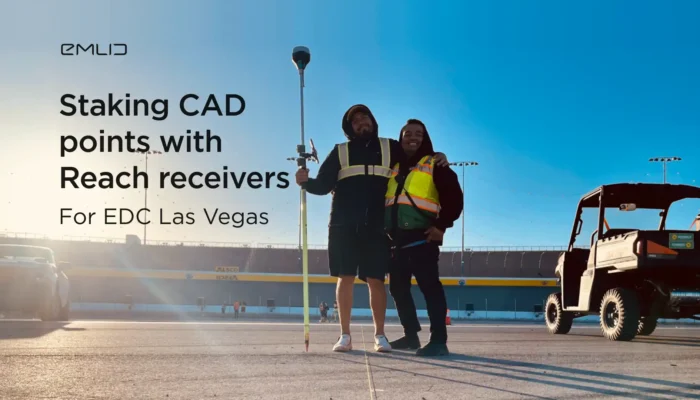
Check out how our users speeded up their workflow of staking out 4000 CAD points with Reach receivers and the Emlid Flow app.
by Olga Utiugova June 21, 2023 Tags: Construction, Reach RS/RS+, Reach RS2, Reach RS2+
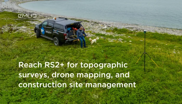
The first Reach RS2+ users shared how they implemented the receiver into an architect’s daily routine, construction site management and used it as a base for drones.
by Anna Gordeichuk October 6, 2022 Tags: Construction, Drone Mapping, Land Surveying, Reach RS2+
Our user performed an aerial survey in areas with unavailable connectivity. Read how he got a stable Internet connection using Starlink.
by Anna Gordeichuk July 7, 2022 Tags: Drone Mapping

La precisión es la clave para una agricultura eficiente y equilibrada. El uso inteligente de los receptores GNSS permite reducir los costes de manera considerable, facilitar el flujo de trabajo y mejorar los resultados. Los receptores GNSS de Reach ayudan a nuestros usuarios de diversas maneras, desde la colocación de los GCP para los estudios […]
by Olga Utiugova September 2, 2021 Tags: Agriculture, Reach RS/RS+, Reach RS2
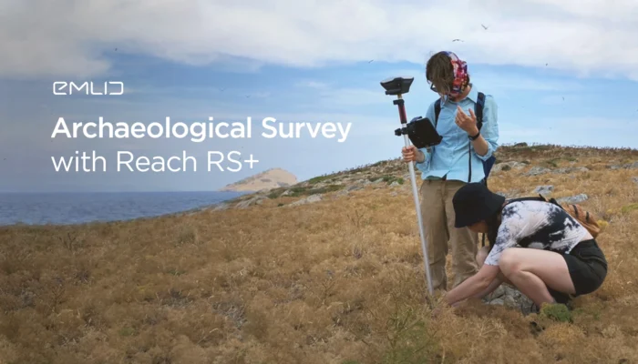
The researcher from the University of Toronto outlined why she started using Reach RS+ receivers for the archaeological survey. Read how Reach speeded up and simplified the work of her team.
by Olga Utiugova July 20, 2021 Tags: Archaeology, Reach RS/RS+
Discover how to benefit from Reach in land surveying. Our user from Ohio, USA, shared his experience of implementing Reach RS2 with FieldGenius for a mortgage surveying business.
by Olga Utiugova July 5, 2021 Tags: Land Surveying, Reach RS2
You can connect Reach receivers with the ArcGIS Survey123 app using both iOS and Android devices. Check out the detailed guide to connecting Reach with the app.
by Olga Utiugova June 4, 2021 Tags: Land Surveying, Reach RS/RS+, Reach RS2, Tutorials
The new tool in the ReachView 3 app enables you to manually set up the parameters of your local coordinate system.
by Olga Utiugova May 27, 2021 Tags: Emlid Flow, Land Surveying, News

Watch the new Emlid online talk with a proficient drone pilot! You’ll find lots of tips for PPK and RTK mapping with Reach RS2 and DJI P4RTK.
by Olga Utiugova May 17, 2021 Tags: Drone Mapping, Reach RS2
If your are getting started with drone mapping, check out our article on what factors affect data accuracy: from mission parameters to placing GCPs.
by Olga Utiugova April 29, 2021 Tags: Drone Mapping, Reach RS/RS+, Reach RS2
Get news about Emlid devices, features, events, new services, and discounts