BLOG
Brush up on the PPK basics! We prepared a new educational video explaining how Post-Processed Kinematic works and what are the features of this technique.
by Olga Utiugova March 23, 2021 Tags: PPK, Tutorials
A complete guide on PPK mapping with Reach is out! We’ve gathered manuals on setting up Reach UAV kit, geotagging photos, and creating a map with Pix4Dmapper.
by Olga Utiugova February 26, 2021 Tags: Drone Mapping, Reach M+, Reach M2, Reach RS/RS+, Reach RS2, Tutorials
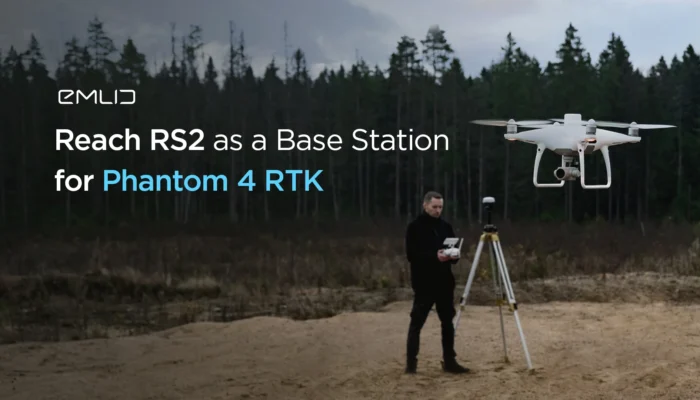
Watch our new video tutorial for drone pilots. It shows how to connect Reach RS2 base station to Phantom 4 RTK via Emlid Caster.
by Olga Utiugova February 24, 2021 Tags: Drone Mapping, Emlid NTRIP Caster, Reach RS2, Tutorials

In this article, we’re answering some basic questions about GNSS and Reach. Types of accuracy, different heights, GCP placement, and other topics are covered here.
by Dmitriy Ershov November 9, 2020 Tags: Reach RS/RS+, Reach RS2, Tutorials
This video is an ultimate guide for GCPs. Learn how to place them correctly, how to survey them, and how to improve the accuracy of your final project.
by Kseniia Volodina August 4, 2020 Tags: Reach RS/RS+, Reach RS2, Tutorials
NTRIP is a very handful technology for land surveyors. It allows you to perform RTK with only one rover. Learn more about NTRIP in the new article.
by Kseniia Volodina April 28, 2020 Tags: Emlid NTRIP Caster, Reach RS/RS+, Reach RS2, Tutorials
We prepared a tutorial on how to perform Precise Point Positioning with Emlid receivers.
by Kseniia Volodina April 23, 2020 Tags: Reach RS/RS+, Reach RS2, Tutorials
Learn more about how GNSS receivers determine your location on Earth. A detailed explanation in new Emlid video tutorial.
by Kseniia Volodina April 13, 2020 Tags: Reach RS/RS+, Reach RS2, Tutorials
Survey marks are certain points with known geographical coordinates. Usually, these points are marked with metal disks. Learn how to use them in your data collection to improve its accuracy.
by Dmitriy Ershov January 15, 2020 Tags: Reach RS/RS+, Reach RS2, Tutorials
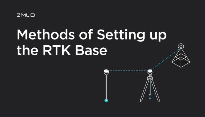
When you use Reach as a local base station, you should set it up first so it can transmit the corrections to the rover. ReachView app offers several ways on how to do that. These approaches may seem not so trivial when you just get started with RTK.
by Valeriia Fursa December 19, 2019 Tags: Reach RS/RS+, Reach RS2, Tutorials
Get news about Emlid devices, features, events, new services, and discounts