BLOG
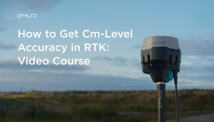
Meet a series of videos to get started with Reach. In the first course, our application engineer shows how to set up two Reach RS2 to work in RTK over LoRa radio and get cm-accuracy.
by Natalia Botygina May 30, 2024 Tags: Tutorials
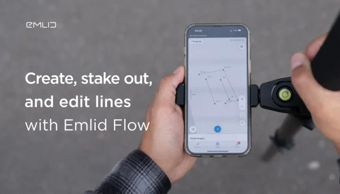
Explore how the Emlid Flow app allows you to create, stake out, and edit lines for your survey projects, and export or import them in CAD and similar software.
by Natalia Botygina February 16, 2024 Tags: Emlid Flow, Tutorials
In the geospatial world, RTK (Real-Time Kinematic) corrections play a critical role in achieving highly accurate and precise results. In this article, we’ll explore the ins and outs of RTK corrections and answer key questions to shed light on this essential aspect of positioning. What is RTK correction data? RTK stands for Real-Time Kinematic. It’s […]
by Olga Utiugova January 9, 2024 Tags: Tutorials
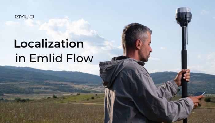
Localization is helpful when you need to survey a site without accurate CS parameters or with none at all. Read our blog article to know how you can benefit from localization and how it works in Emlid Flow.
by Natalia Botygina October 11, 2023 Tags: Emlid Flow, Tutorials
In surveying, accurate measurements are essential for reliable data collection and precise mapping. One technology that has enhanced the surveying industry is IMU tilt compensation. In this article, we will explore what IMU stands for, how it is used in surveying, and the advantages and limitations of IMU tilt compensation in GNSS receivers. What is […]
by Olga Utiugova September 28, 2023 Tags: Tutorials
When it comes to drone surveying, there are two main workflows to consider: Real-Time Kinematic (RTK) and Post-Processing Kinematic (PPK). Both methods utilize a GNSS base station and correction data to improve the accuracy of a drone survey. But how do you decide between RTK vs PPK for drone mapping? What is the difference […]
by Olga Utiugova September 4, 2023 Tags: Drone Mapping, Tutorials
Check out the capabilities of a useful bundle including Reach RX receiver and Global Mapper app that is perfect for all GIS applications.
Emlid NTRIP Caster and an NTRIP service might sound similar, but they are entirely different. Read our article to find out how both of them work and which one to choose depending on your gear setup.
by Valeriia Fursa July 12, 2021 Tags: Emlid NTRIP Caster, Tutorials
Switch from ReachView 2 to the ReachView 3 app and transfer your projects. Check out a brief guide on how to import your survey data from ReachView 2 to the new app just in a few steps.
by Olga Utiugova June 9, 2021 Tags: Emlid Flow, Tutorials
You can connect Reach receivers with the ArcGIS Survey123 app using both iOS and Android devices. Check out the detailed guide to connecting Reach with the app.
by Olga Utiugova June 4, 2021 Tags: Land Surveying, Reach RS/RS+, Reach RS2, Tutorials
Get news about Emlid devices, features, events, new services, and discounts