BLOG
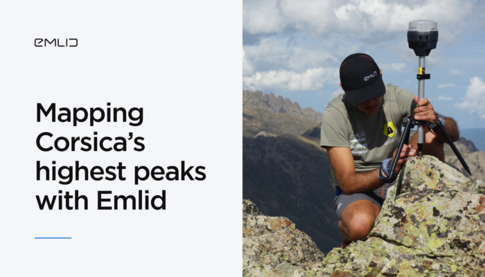
The Sostremetries team set out to fix Corsica’s outdated mountain lists using high-precision GNSS technology. By combining Emlid Reach RS2+ and RS3 receivers with LiDAR and digital terrain models, they redefined what counts as a summit.
by Anna Moroz March 31, 2025 Tags: Customer story, Industries, Land Surveying, Reach RS2+, Reach RS3
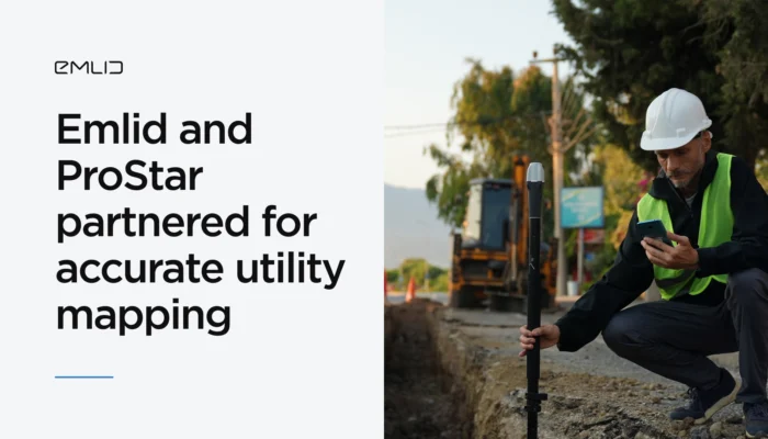
Emlid has partnered with ProStar Holdings Inc., a developer of the PointMan survey app, to provide an integrated solution for centimeter precise and cost-efficient mapping of underground utilities.
by Olga Utiugova March 31, 2025 Tags: Industries, News, Reach RS3, Reach RX
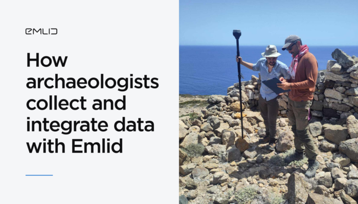
Archaeologists from the University of Copenhagen streamlined their workflow with the Emlid ecosystem, integrating multiple data layers with the Reach RS3 receivers and the Emlid Flow app.
by Anna Moroz March 20, 2025 Tags: Archaeology, Customer story, Emlid Flow, Emlid Studio, Industries, Pix4D & Emlid Scanning kit, Reach RS3
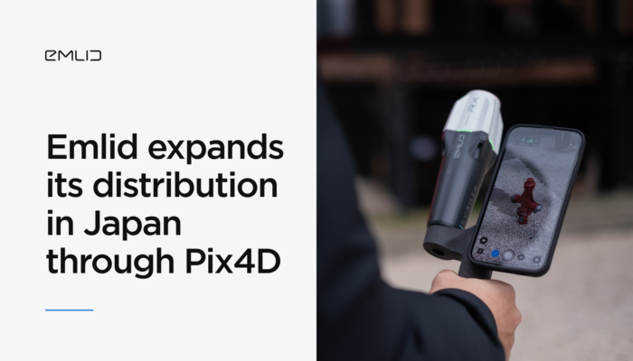
Reach GNSS receivers are now available in Japan—with local pricing, fast delivery, and expert support through Pix4D’s reseller network.
by Anna Moroz March 14, 2025 Tags: GNSS, Pix4D & Emlid Scanning kit, Reach RX
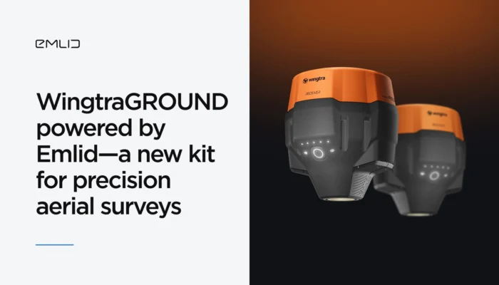
Emlid adds high precision to WingtraGROUND—the all-in-one kit for precision aerial surveys with Wingtra drones. The kit combines Emlid’s high-precision GNSS, seamless connectivity to the Wingtra ecosystem, and guided workflows via the Wingtra tablet. Explore right now.
by Olga Utiugova February 10, 2025 Tags: Drone Mapping, News, Reach RS3
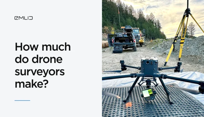
Drone mapping is a rapidly growing field, creating exciting opportunities for specialists. Read this article to discover the earning potential of US-based drone surveyors and effective pricing strategies.
by Anna Moroz February 4, 2025 Tags: Drone Mapping
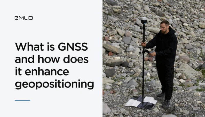
Wondering how to improve the precision of your mapping project with GNSS? Let’s explore what GNSS is and how it works to provide you with precise geopositioning data.
by Eric van Rees January 29, 2025 Tags: GNSS, PPK, RTK
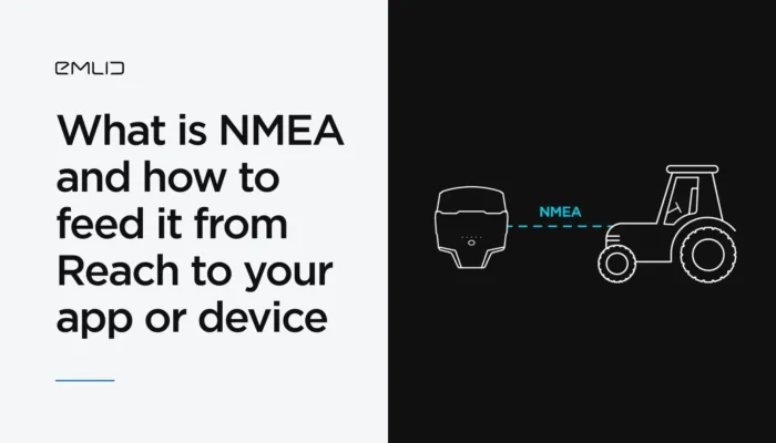
You’ve probably heard of the NMEA data format. We’ve explained what it means and how Reach receivers transmit data in NMEA format to GIS apps and various devices.
by Natalia Botygina January 23, 2025 Tags: Agriculture, Emlid Flow, GNSS, Land Surveying, Reach RS2+, Reach RS3, Reach RX, Tutorials
If you work in GIS, chances are you’re already using ArcGIS Field Maps. In this article, we’ll explain why Reach RX is the perfect choice for GIS professionals and how it integrates effortlessly with ArcGIS Field Maps for accurate survey results.
by Anna Moroz January 17, 2025 Tags: GNSS, Reach RX

In aerial mapping, your workflow mainly depends on the technology your drone employs—PPK (Post-Processing Kinematic) or RTK (Real-Time Kinematic). Understanding how each approach works will help you achieve accurate and reliable mapping results.
by Natalia Botygina December 10, 2024 Tags: Drone Mapping, GNSS, PPK, Reach RS3, RTK
Get news about Emlid devices, features, events, new services, and discounts