BLOG

Mobile or robotic mapping and surveying solutions are evolving to enable rapid data collection over large areas. Read how Reach integrates seamlessly with different types of machinery, how it enables mobile mapping and robotic surveying, and how it can elevate your operations.
by Anna Moroz November 28, 2024 Tags: Construction, Land Surveying, Mobile mapping, Products, Reach RS2+, Reach RS3
Despite the accessibility of drone photogrammetry, the technology remains a complex field with many nuances. In this blog post, we’ll walk you through the entire RTK drone mapping workflow from scratch.
by Natalia Botygina November 24, 2024 Tags: Drone Mapping, Reach RS2, Reach RS2+, Reach RS3, Reach RX, Tutorials
Discover how new features in Emlid Flow and Emlid Flow 360 can save time and increase accuracy of your projects. Using Traverse and Inverse tools, you can quickly validate data, create new points, and adjust for field conditions.
by Natalia Botygina October 28, 2024 Tags: Emlid Flow
Why is drone mapping so appealing to newcomers? In this article, we’ll explore the career opportunities, income potential, and the future of drone mapping across multiple sectors.
by Anna Moroz October 24, 2024 Tags: Drone Mapping, Industries
This article explains why ground control points (GCPs) are still crucial in drone mapping, how to place and collect them, and answers key questions like how many GCPs you need.
by Eric van Rees October 17, 2024 Tags: Drone Mapping, Industries
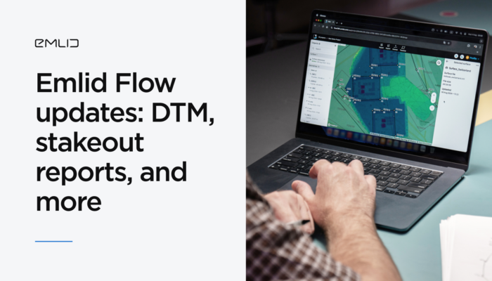
With the latest Emlid Flow and Emlid Flow 360 updates, you can perform a range of new jobs in land surveying and construction, including earthworks, topographic, and as-built surveys. Check out our brief overview, not to miss a thing.
by Anna Moroz September 20, 2024 Tags: Emlid Flow, News
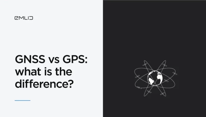
Accuracy of your projects starts with understanding the technology that makes it possible. In this article, we’ll dive into GNSS, how GPS fits into the picture, and why GNSS is a game changer for surveyors.
by Natalia Botygina September 10, 2024 Tags: GNSS, Reach RS3
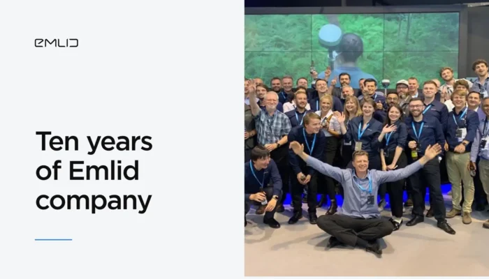
Founded in 2014, Emlid company has grown from two students working out of a kitchen to a team of over 100 employees spanning multiple disciplines and countries. Read on to learn more about Emlid’s evolution and join one of the largest geodesic communities out there.
by Anna Moroz September 5, 2024 Tags: News
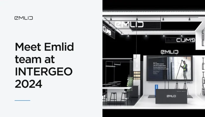
Come visit the Emlid team to explore our products, including live demos of RS3 and RX receivers and the newest Pix4D & Emlid Scanning Kit.
by Anna Moroz August 30, 2024 Tags: Events
Learn two methods for obtaining RTK corrections for surveying workflows: using an NTRIP service or your own base station. This information will help you choose the best method for your application.
by Eric van Rees August 23, 2024 Tags: Emlid NTRIP Caster, Industries, Land Surveying, PPK, RTK
Get news about Emlid devices, features, events, new services, and discounts