BLOG
We are pleased to announce Reach RS full compatibility with FieldGenius as the result of cooperation between Emlid and MicroSurvey.
by Dmitriy Ershov June 13, 2017 Tags: News, Reach RS/RS+
QGIS (previously known as Quantum GIS) is the cross-platform free and open-source desktop geographic information system (GIS) app that provides data viewing, editing, and analysis. It can be used for almost any GIS application. Our Community user Brent Wiebe put Reach RS and QGIS running on Windows together and shows how to connect them. First of all, we need to connect […]
by Dmitriy Ershov April 25, 2017 Tags: Reach RS/RS+, Tutorials
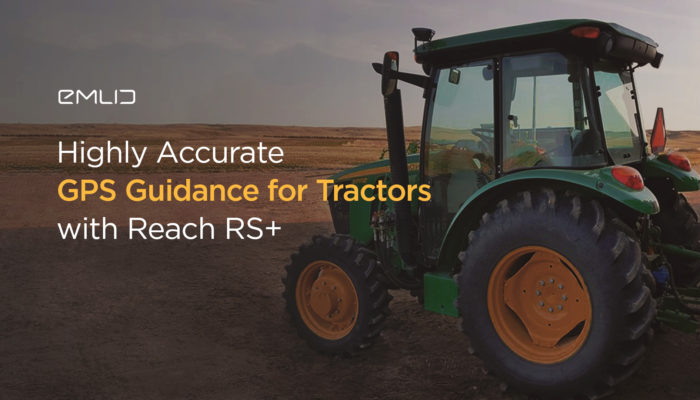
Our user Joseph paired Reach RS with one of the many Android smartphone/tablet GPS guidance applications that can deliver GPS precision to farming. The centimeter-accurate positioning reduces overlaps and missed zones and this helps to save time and increase yield potential.
by Dmitriy Ershov April 20, 2017 Tags: Agriculture, Reach RS/RS+
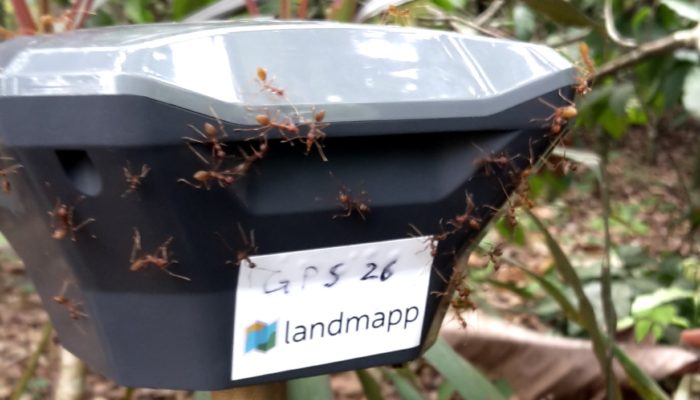
Landmapp—is the Netherlands based startup developing a mobile platform that provides smallholder farmer families in Ghana with documentation of their land. For smallholder farmers securing their land is very complex and an enormous challenge. Landmapp makes this simple, providing an end to end service from the farmer signs up till they hold a legal land certificate in their […]
by Dmitriy Ershov April 18, 2017 Tags: Land Surveying, Reach RS/RS+
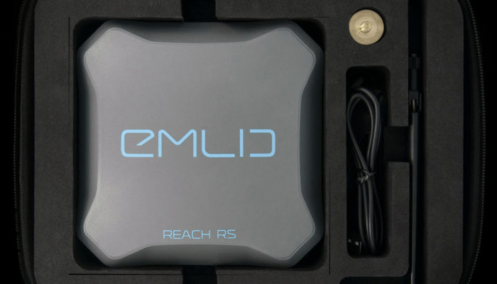
For the past year, we have been also working on something new and now we are ready to show it to you. Today we proudly unveil Reach RS!
by Dmitriy Ershov January 26, 2017 Tags: News, Reach RS/RS+
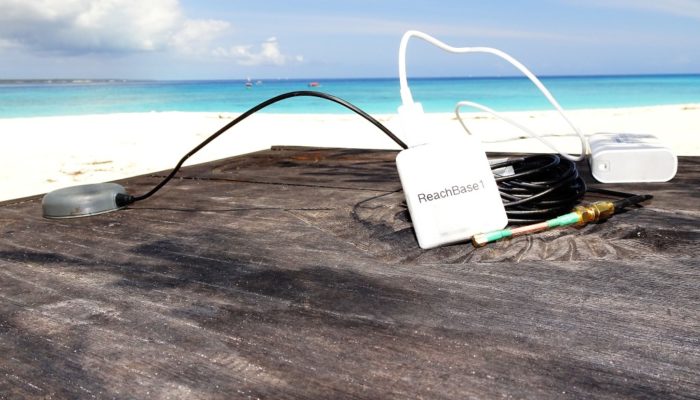
3DroneMapping is offering mapping services all over the Africa and recently had the privilege of mapping a tiny private island in the Indian ocean just 9 km off the Zanzibar coast. Luke Wijnberg, surveyor and CEO of 3DroneMapping shared a great story about the resort and its mapping with the Reach modules. The tiny (15ha) island is […]
by Dmitriy Ershov December 21, 2016 Tags: Drone Mapping, Reach M+
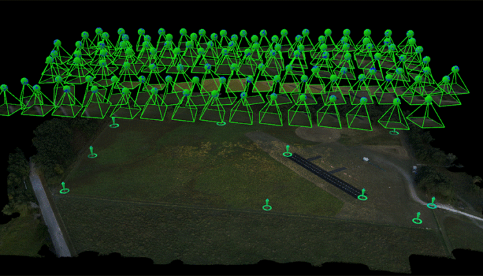
Tuffwing, a manufacturer of affordable aerial mapping systems recently performed integration of Emlid Reach RTK to enable making precision maps without use of ground control points. The system was benchmarked by comparing direct georeferenced model with a set of GCPs, used solely for error detection purposes. Achieved lateral RMS error is just 4cm according to […]
by Dmitriy Ershov October 28, 2016 Tags: Drone Mapping, Reach M+
Get news about Emlid devices, features, events, new services, and discounts