BLOG
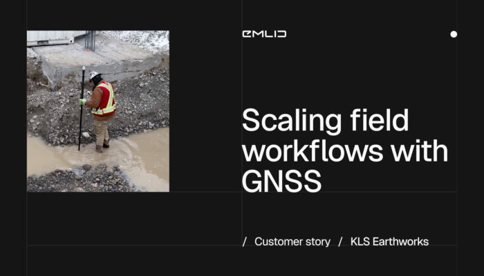
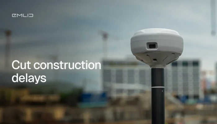
See how KLS Earthworks used GNSS for construction to scale to 60 active sites. By equipping supervisors with Emlid rovers, they eliminated layout delays and boosted field autonomy.
by Eric van Rees April 9, 2026 Tags: Construction, Customer story, Reach RX, Reach RX2

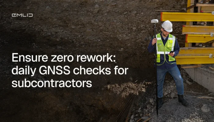
Catching errors early is what separates efficient construction projects from costly rework. This guide breaks down how field crews can take control of QA/QC workflows—and keep projects moving without delays.
by Natalia Botygina April 8, 2026 Tags: Construction, Emlid Flow, Emlid Flow 360, GNSS, Reach RS4, Reach RS4 Pro
More subcontractors are picking up RTK GNSS receivers and doing positioning work in-house. Not to replace their surveyor—but to stop depending on them for every routine check. Here’s what that looks like across five trades.
by Ana Ramos March 19, 2026 Tags: Construction, Emlid Flow, GNSS, Reach RS4 Pro, Reach RX2
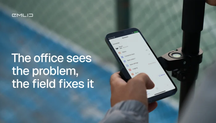
Construction teams often lose hours driving to site for questions that take minutes to answer. See how Emlid Flow and Flow 360 connect field crews and office teams in real time to reduce site visits and speed up decisions.
by Ana Ramos March 16, 2026 Tags: Construction, Emlid Flow, Emlid Flow 360, GNSS
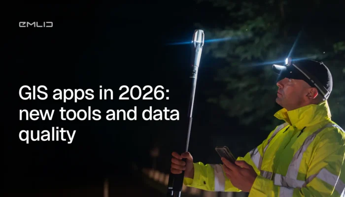
GIS apps are moving faster than ever, but data quality still starts at the GNSS level. We broke down what changed in 2026 and what actually matters for your data accuracy.

Survey data shouldn’t live only on a screen. With AR stakeout and visual data capture on the Reach RS4 Pro, you see design points in the real world and measure hard-to-reach targets.
by Natalia Botygina February 26, 2026 Tags: Construction, Industries, Land Surveying, Products, Reach RS4 Pro
Waiting for surveyors slows jobs down. Learn the GNSS workflows your crew can run in-house to verify work, catch errors early, and keep machines moving without losing accuracy.
by Ana Ramos February 9, 2026 Tags: Construction, Emlid Flow, GNSS, Industries, Reach RS4, Reach RS4 Pro, Reach RX2
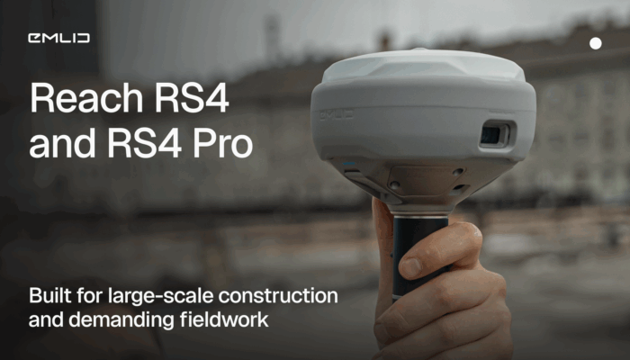
Meet the new Reach RS4 and RS4 Pro: high-performance GNSS receivers designed for demanding construction projects.
by Anna Moroz October 29, 2025 Tags: Construction, GNSS, Reach RS4, Reach RS4 Pro
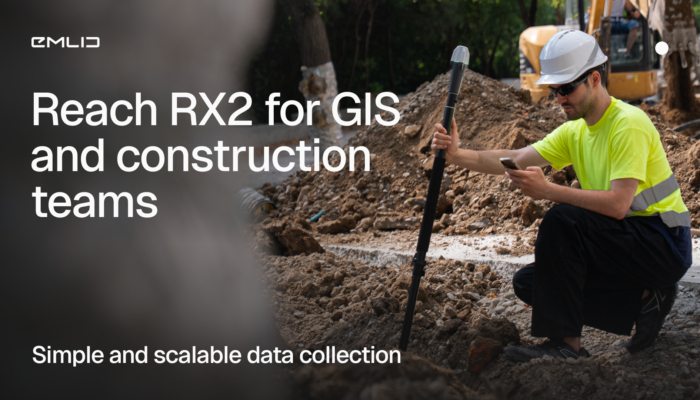
The Reach RX2 is a compact RTK rover with tilt compensation, built for GIS and construction teams. Simple to use, accurate, and ready for real job sites.
by Anna Moroz October 22, 2025 Tags: Construction, GIS, Reach RX2

Vulcan Line Tools is transforming how utility data is captured in the field. Using the Azmyth on Foot iOS app paired with Emlid’s Reach RX GNSS receiver, their team reduced survey time per pole from 20 minutes to just 30 seconds.
by Anna Moroz October 13, 2025 Tags: Customer story, Industries, Land Surveying, Mobile mapping, Products, Reach RX
Get news about Emlid devices, features, events, new services, and discounts