
BLOG
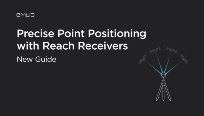
We prepared a tutorial on how to perform Precise Point Positioning with Emlid receivers.
by Kseniia Volodina April 23, 2020 Tags: Reach RS/RS+, Reach RS2, Tutorials

senseFly has recently successfully tested Reach RS2 as a base station with its several eBee drones models. Find tutorials inside.

Learn more about how GNSS receivers determine your location on Earth. A detailed explanation in new Emlid video tutorial.
by Kseniia Volodina April 13, 2020 Tags: Reach RS/RS+, Reach RS2, Tutorials
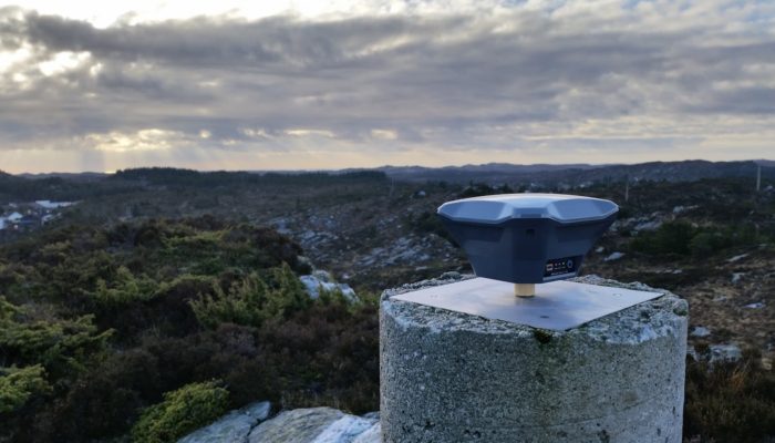
Survey marks are certain points with known geographical coordinates. Usually, these points are marked with metal disks. Learn how to use them in your data collection to improve its accuracy.
by Dmitriy Ershov January 15, 2020 Tags: Reach RS/RS+, Reach RS2, Tutorials
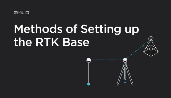
When you use Reach as a local base station, you should set it up first so it can transmit the corrections to the rover. ReachView app offers several ways on how to do that. These approaches may seem not so trivial when you just get started with RTK.
by Valeriia Fursa December 19, 2019 Tags: Reach RS/RS+, Reach RS2, Tutorials
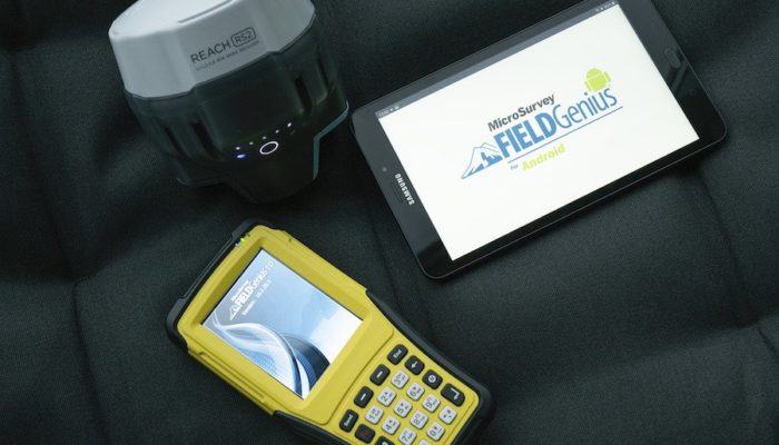
We’ve successfully completed the tests with the leading land survey software MicroSurvey FieldGenius. Now you can pair RS2 with FG and use expanded toolsets and enhanced capabilities for professional data collection.
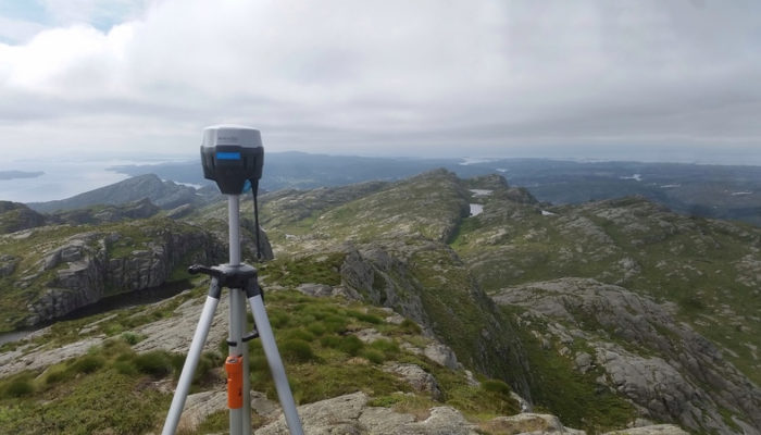
You can rely on LoRa radio when working within an 8 km baseline. The tests of Reach RS2 conducted by our pro-users demonstrate how LoRa radio performance can be pushed much further in various environments.
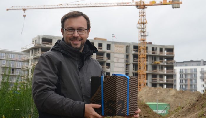
We recently announced our annual Photo Contest 2019 winners. Today we are ready to unveil the story behind the winning entry.
by Dmitriy Ershov October 25, 2019 Tags: Land Surveying, News, Reach RS2
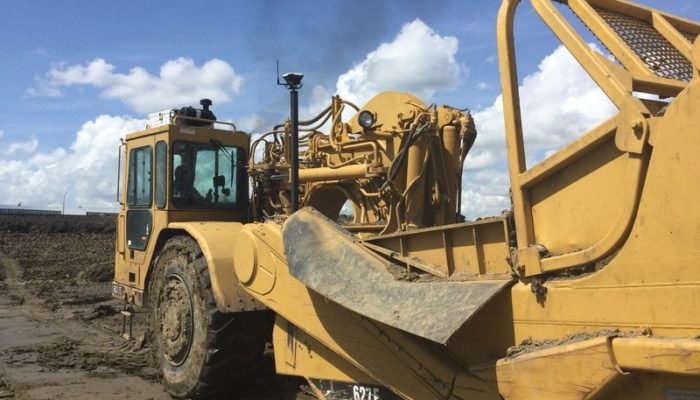
Our community user David Hofer shared with us how he uses Reach RS+ and Reach RS2 for centimeter-precise land leveling.
by Dmitriy Ershov September 13, 2019 Tags: Construction, Reach RS/RS+, Reach RS2
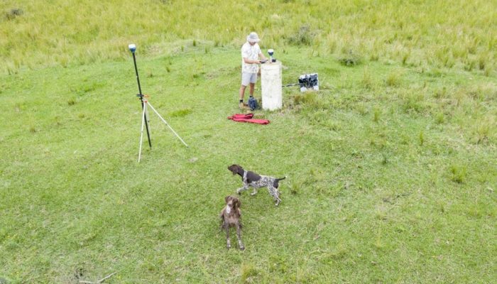
Luke Wijnberg of 3DroneMapping is one of our pro-users who recently ran some accuracy tests of Reach RS2. Luke collected seven points with the RS2 rover acquiring live corrections from the Reach RS2 base placed over survey monument.
by Dmitriy Ershov June 6, 2019 Tags: Land Surveying, Reach RS2
Get news about Emlid devices, features, events, new services, and discounts