BLOG
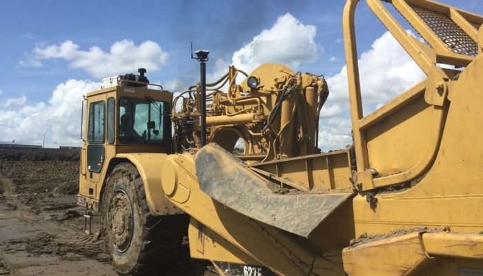
Our community user David Hofer shared with us how he uses Reach RS+ and Reach RS2 for centimeter-precise land leveling.
by Dmitriy Ershov September 13, 2019 Tags: Construction, Reach RS/RS+, Reach RS2

Rafael Scopel, a surveyor at the Escola Bom Pastor school in Brazil, recently prepared a land surveying workshop for his students with a set of Reach RS+.
by Dmitriy Ershov August 8, 2019 Tags: Land Surveying, Reach RS/RS+
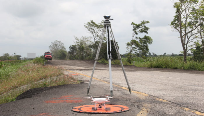
In March 2019, Mexican CoatzaDrone conducted a topographic survey of the “Las Choapas-Cárdenas” road section in Tabasco, Mexico using Reach RS+. The goal was to create a detailed 3D model and an orthomosaic as part of the road maintenance project.
by Dmitriy Ershov June 13, 2019 Tags: Construction, Drone Mapping, Land Surveying, Reach RS/RS+
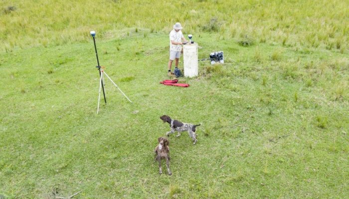
Luke Wijnberg of 3DroneMapping is one of our pro-users who recently ran some accuracy tests of Reach RS2. Luke collected seven points with the RS2 rover acquiring live corrections from the Reach RS2 base placed over survey monument.
by Dmitriy Ershov June 6, 2019 Tags: Land Surveying, Reach RS2

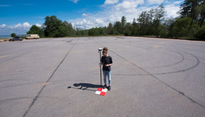
Today we would love to share some Reach RS2 photos from the field from our testers!
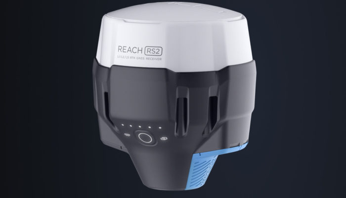
For the past year, we have been working on the next receiver in the Reach line and now are ready to show it. Reach RS2 is a top spec multi-band RTK GNSS receiver for just $1899.
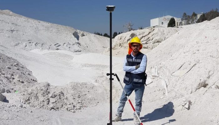
The Dromine team recently carried out a UAV-based volumetric survey to assess feldspar stock at the site. For this project, one DJI Phantom 4 and two Reach RS+ (base and rover) were utilized.
by Dmitriy Ershov March 12, 2019 Tags: Drone Mapping, Mining, Reach RS/RS+
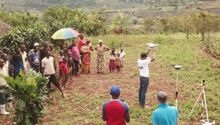
Emlid RTK GNSS receivers were recently used to carry out training and conduct UAV-based research in the Democratic Republic of the Congo (DRC).
by Dmitriy Ershov February 28, 2019 Tags: Drone Mapping, Reach RS/RS+
We have put together several new guides to help you with setting up your Reach for work in the field!
by Dmitriy Ershov February 6, 2019 Tags: Reach RS/RS+, Tutorials
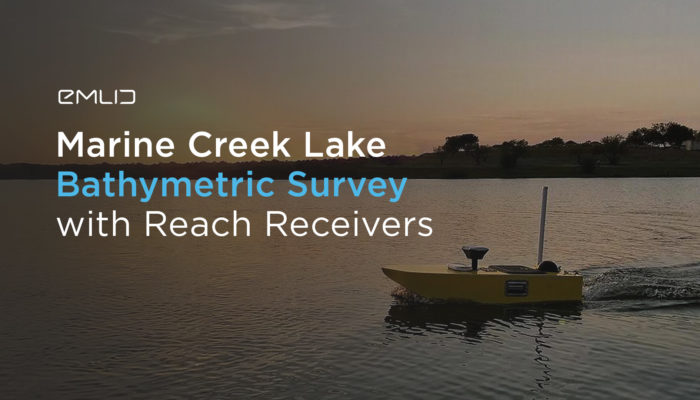
This blog post overviews these workflows and demonstrates how Reach RS helps to deliver centimeter-accurate bathymetric and hydrographic services.
by Dmitriy Ershov November 29, 2018 Tags: Bathymetry, Reach RS/RS+
Get news about Emlid devices, features, events, new services, and discounts