BLOG
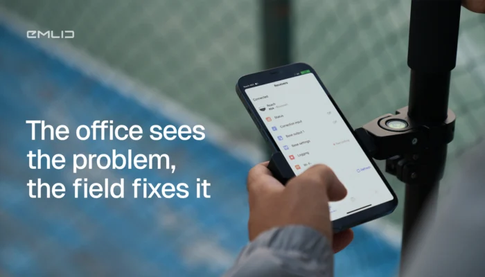
Construction teams often lose hours driving to site for questions that take minutes to answer. See how Emlid Flow and Flow 360 connect field crews and office teams in real time to reduce site visits and speed up decisions.
by Ana Ramos March 16, 2026 Tags: Construction, Emlid Flow, Emlid Flow 360, GNSS

Survey data shouldn’t live only on a screen. With AR stakeout and visual data capture on the Reach RS4 Pro, you see design points in the real world and measure hard-to-reach targets.
by Natalia Botygina February 26, 2026 Tags: Construction, Industries, Land Surveying, Products, Reach RS4 Pro
Waiting for surveyors slows jobs down. Learn the GNSS workflows your crew can run in-house to verify work, catch errors early, and keep machines moving without losing accuracy.
by Ana Ramos February 9, 2026 Tags: Construction, Emlid Flow, GNSS, Industries, Reach RS4, Reach RS4 Pro, Reach RX2
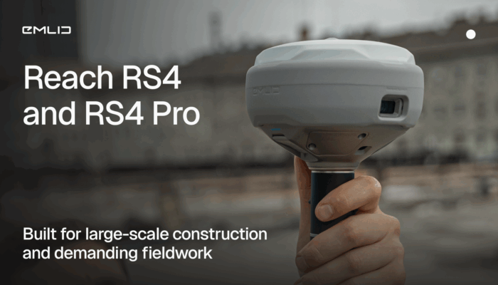
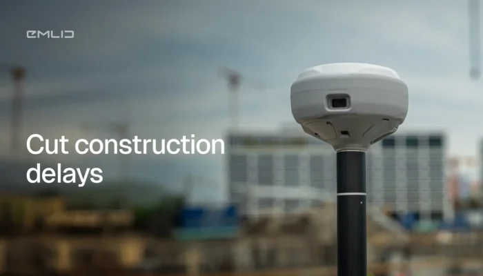
Meet the new Reach RS4 and RS4 Pro: high-performance GNSS receivers designed for demanding construction projects.
by Anna Moroz October 29, 2025 Tags: Construction, GNSS, Reach RS4, Reach RS4 Pro
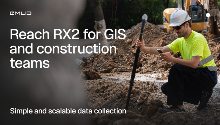
The Reach RX2 is a compact RTK rover with tilt compensation, built for GIS and construction teams. Simple to use, accurate, and ready for real job sites.
by Anna Moroz October 22, 2025 Tags: Construction, GIS, Reach RX2

Accurate GNSS positioning empowers GIS professionals to collect data with precision, driving smarter decisions in urban planning, agriculture, and more. This article explores key applications of centimeter-level GPS and how it enhances GIS workflows across industries.
by Sam Pepple June 18, 2025 Tags: Agriculture, Construction, GIS, GNSS, Industries, Land Surveying

Accurate GNSS data is essential for reliable GIS results. Reach receivers bring centimeter-level precision to your GIS apps like ArcGIS, enhancing field data collection and powering smarter decisions. Learn how to integrate them and see real-world use cases in action.
by Natalia Botygina June 5, 2025 Tags: Agriculture, Construction, GIS, GNSS, Reach RS3, Reach RX
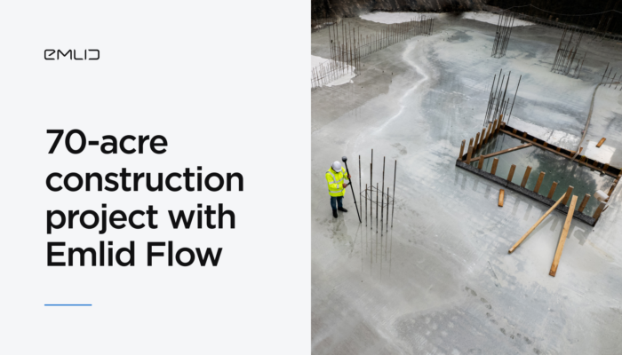
Discover how ADM Geomatics used the Emlid Flow site survey app to streamline every stage of a multi-building development from topographic survey and clash detection to final as-built verification, with precise tools and real-time collaboration.
by Natalia Botygina May 12, 2025 Tags: Construction, Emlid Flow, Emlid Flow 360

Mobile or robotic mapping and surveying solutions are evolving to enable rapid data collection over large areas. Read how Reach integrates seamlessly with different types of machinery, how it enables mobile mapping and robotic surveying, and how it can elevate your operations.
by Anna Moroz November 28, 2024 Tags: Construction, Land Surveying, Mobile mapping, Products, Reach RS2+, Reach RS3
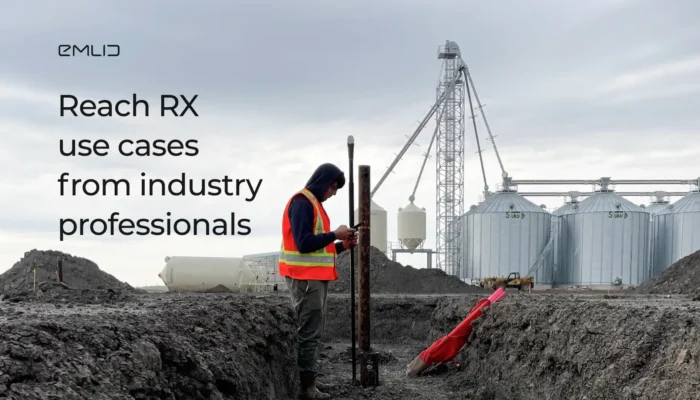
Check out the first-hand experience of industry professionals with the Reach RX in construction and drone mapping.
by Natalia Botygina May 30, 2024 Tags: Construction, Drone Mapping, Reach RX
Get news about Emlid devices, features, events, new services, and discounts