BLOG
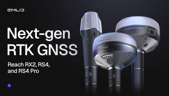
The future of RTK GNSS isn’t about complexity—it’s about simplicity, which translates into confidence. It’s about using gear that just works, everywhere, for everyone. Taking that philosophy further, we introduce the new generation of Emlid GNSS receivers.
by Anna Moroz October 6, 2025 Tags: GNSS, News, Reach RS4, Reach RS4 Pro, Reach RX2, RTK

Escambia County’s conservation team swapped tape measures and phone GPS for Emlid Reach receivers—boosting accuracy, saving time, and protecting wildlife.
by Sam Pepple September 29, 2025 Tags: Customer story, Environmental protection, GIS, GNSS, Reach RS2+, Reach RX

A GNSS receiver is just the beginning. Emlid delivers a full ecosystem that connects your tools, data, and team—from setting up a permanent base station to cloud syncing and post-processing.
by Anna Moroz September 10, 2025 Tags: Archaeology, Architecture, Emlid Flow, Emlid Flow 360, Emlid Studio, GNSS, Pix4D & Emlid Scanning kit

Keeping your GNSS receiver current isn’t just about the latest tech—it impacts field efficiency and integration with modern tools like drones and laser scanners. The right receiver is an investment in productivity, seamless workflows, and long-term project success.
by Anna Moroz August 27, 2025 Tags: GNSS, PPK, Reach RS3, RTK

What does it really take to launch your own surveying company? Beyond tools and technical skills, success hinges on strategy, confidence, and continuous learning. We spoke with Stefan Niculescu, a land surveyor in Scotland, and Jon Moraglia, a drone service provider from New Jersey, who both made the leap to independence.
by Anna Moroz July 10, 2025 Tags: Drone Mapping, Land Surveying, Reach RS2, Reach RS3
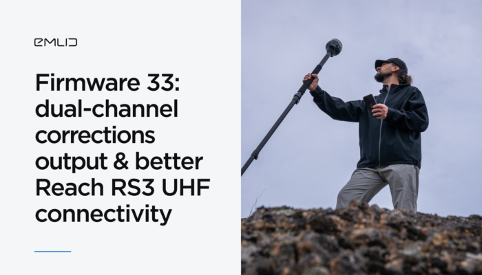
The Reach Firmware 33 introduces new features and improvements to refine Reach RS3 compatibility over UHF and allows you to stream corrections from your Reach base using two output channels at the same time. This update is available for Reach RS3, RS2/RS2+, RS+, M2, and M+ devices.
by Anna Moroz June 10, 2025 Tags: News, Reach RS3

Accurate GNSS data is essential for reliable GIS results. Reach receivers bring centimeter-level precision to your GIS apps like ArcGIS, enhancing field data collection and powering smarter decisions. Learn how to integrate them and see real-world use cases in action.
by Natalia Botygina June 5, 2025 Tags: Agriculture, Construction, GIS, GNSS, Reach RS3, Reach RX
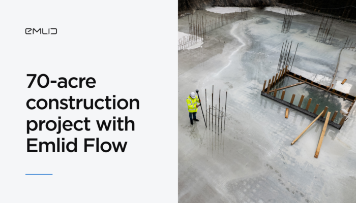
Discover how ADM Geomatics used the Emlid Flow site survey app to streamline every stage of a multi-building development from topographic survey and clash detection to final as-built verification, with precise tools and real-time collaboration.
by Natalia Botygina May 12, 2025 Tags: Construction, Emlid Flow, Emlid Flow 360
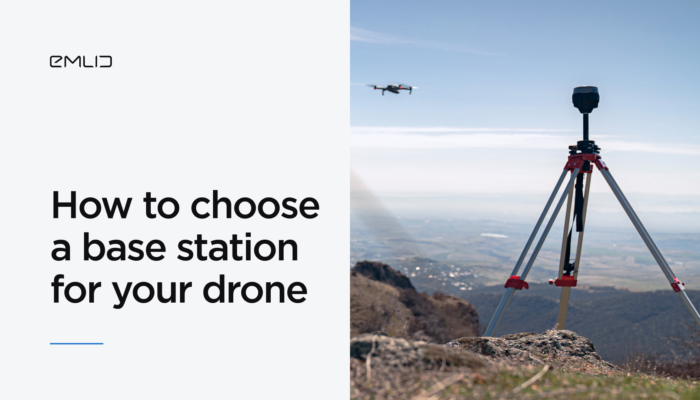
If you’re working in construction, mining, or infrastructure and aiming for centimeter-level accuracy, adding a GNSS base station to your RTK or PPK drone setup is essential. Emlid application engineer Kirill Pavlyuchuk shares expert tips on how to choose the right base station to power your high-precision mapping workflows.
by Kirill Pavlyuchuk April 30, 2025 Tags: Drone Mapping, PPK, Reach RS3, RTK
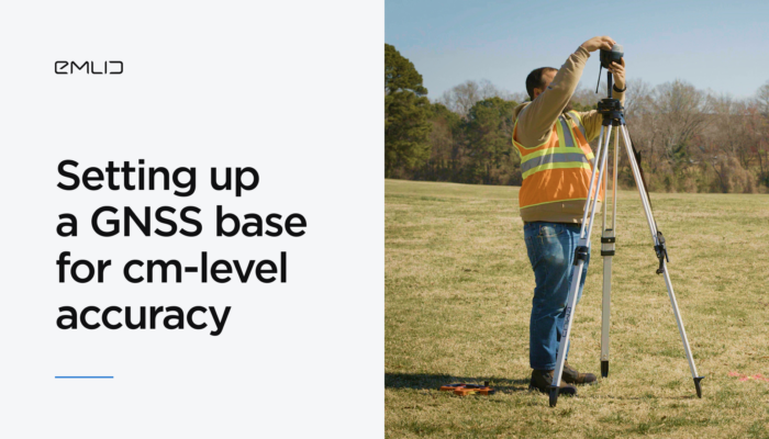
A correctly set-up base station is essential for accurate GNSS surveys in RTK. Since your rover’s coordinates are only as accurate as the base’s placement, any shift in the base will directly affect the rover’s measurements. Learn the key steps for setting up a base.
by Natalia Botygina April 15, 2025 Tags: Emlid Flow, Industries, Land Surveying, Reach RS3, RTK, Tutorials
Get news about Emlid devices, features, events, new services, and discounts